
Here's the promised update on the Sunday rain. Unfortunately modeling hasn't improved and the only open ski area that is likely to miss the rain for most of the day is Sugarloaf. Here's the simulated radar from the HRRR covering 8AM through 5PM on Sunday.

You have to be careful with pinpointing rain. Today the models didn't show it reaching Vermont during the ski day, but it did. This batch of rain should be more predictable though, at least the brunt of it.
Killington and Sugarbush likely start the ski day with light rain and it should continue through close. Jay Peak and Sommet Saint-Sauveur may hold off until between 10AM-11AM with only Saint-Sauveur showing signs of maybe drying out in the afternoon (borderline). Sugarloaf is modeled to not see rain until around 2PM-3PM. These times can bust, but that's the best guidance I have.
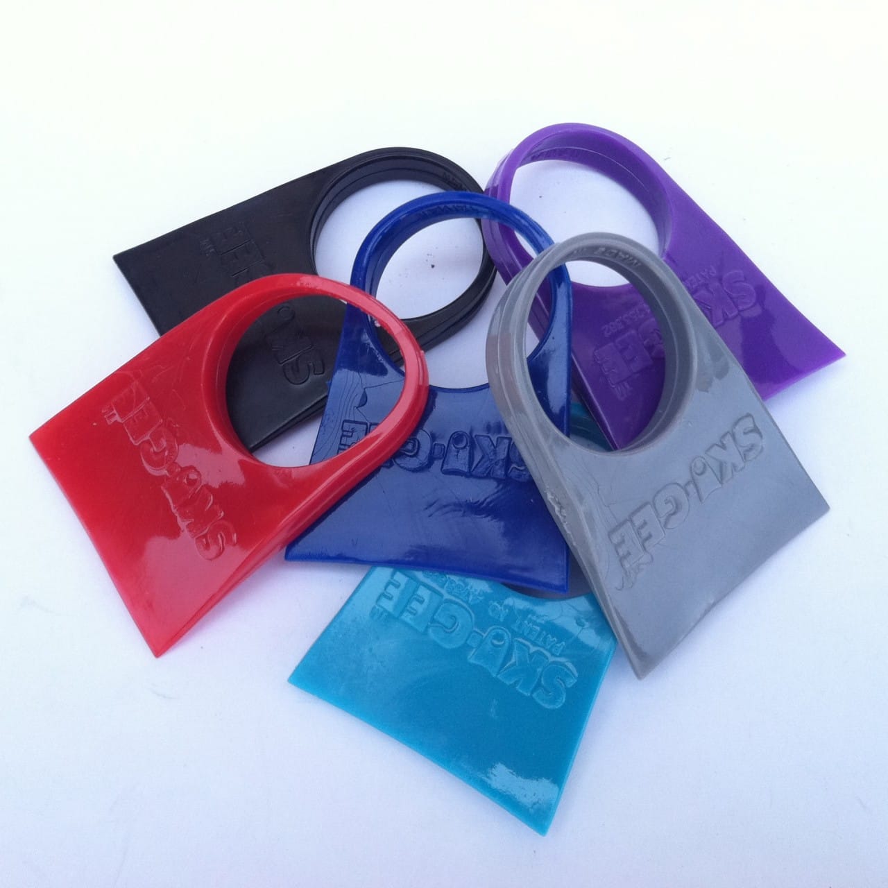
If you are out on Sunday this is perfect weather for a Ski Gee. Bumps, chunder, and rain covering your goggles is no bueno. Note that Ski Gees aren't at great with ice, but fantastic with water. If you've been wiping then you should be swiping instead.
Wishing you all an awesome day whether or not it is on the slopes!
-- Matt
Comments ()