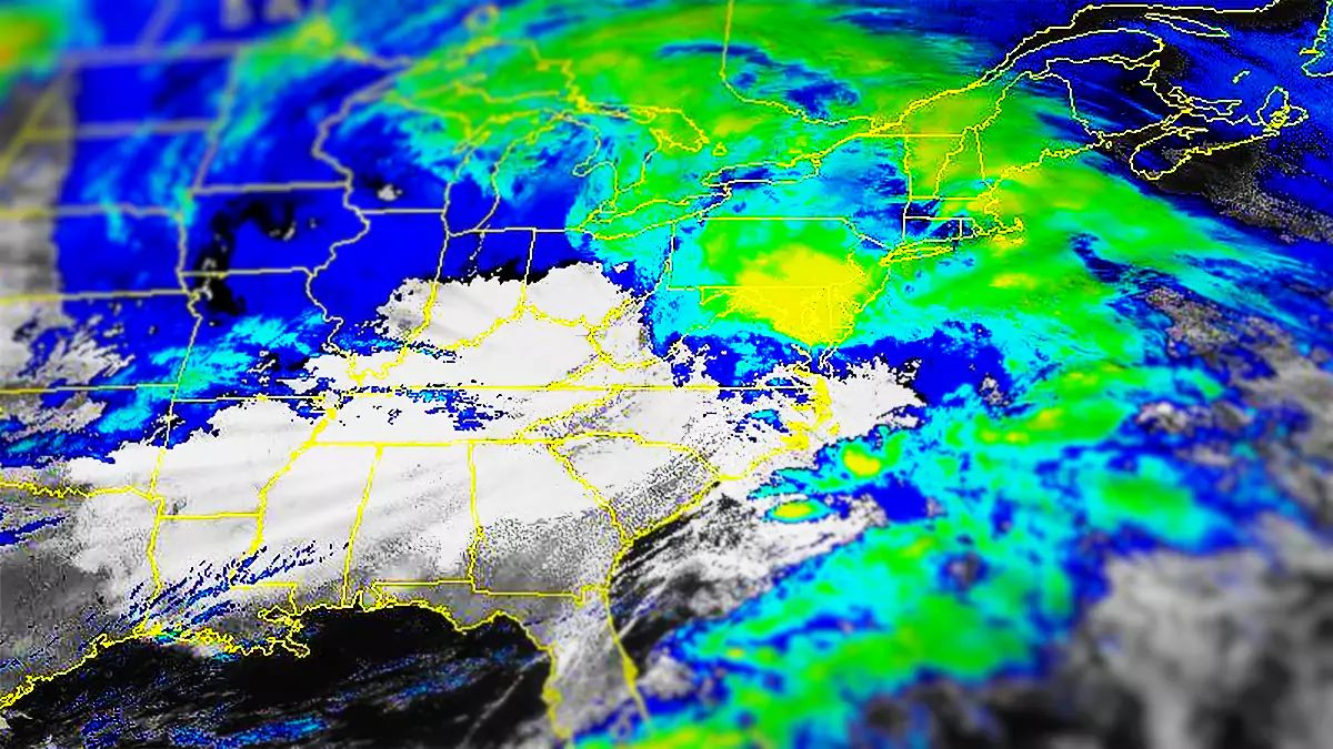
OK folks, this is the last update since the storm is already impacting Pennsylvania and people are getting locked and loaded to to score some pow! I think we're dialed in enough for pretty good confidence, however there have been some shifts since yesterday. Let's start off with the wide view from the ECMWF covering noon today through the end of Sunday.
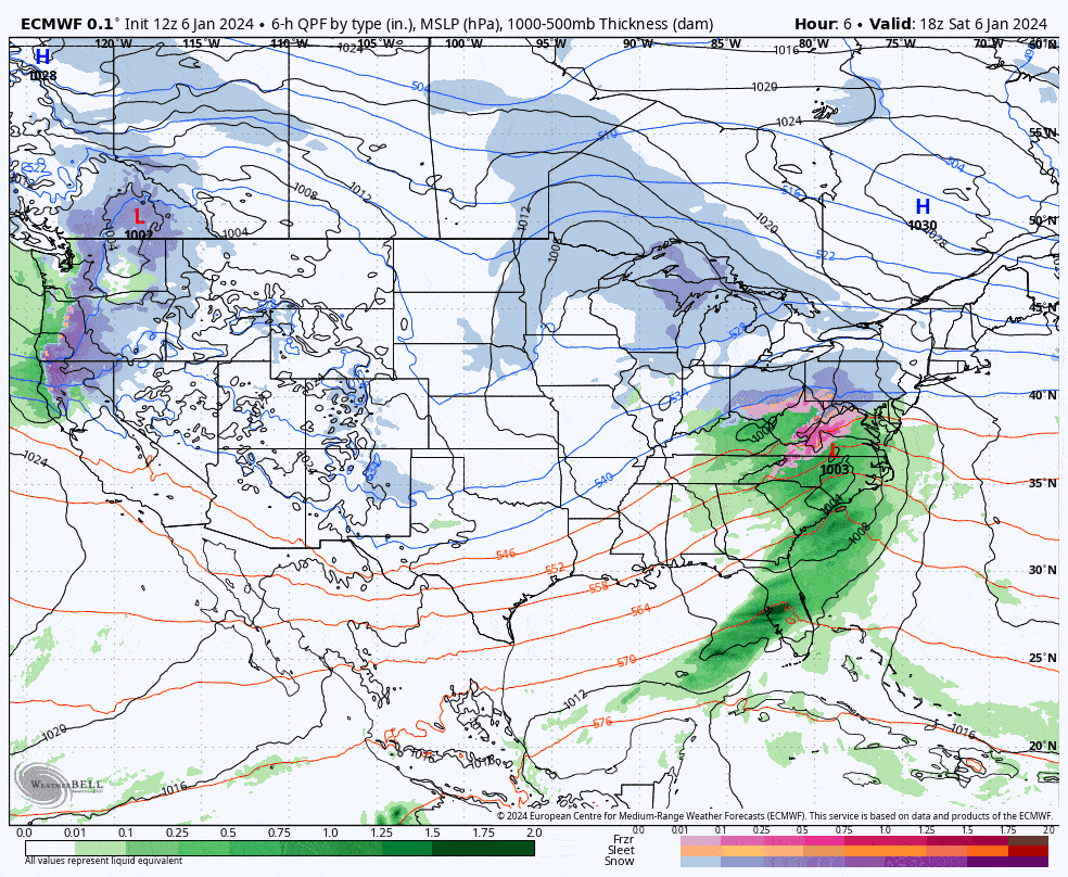
So here's what's happened in the last 24 hours. The storm seems to be going a little further south than it was modeled yesterday, and that's going to move the snow in Southern New England closer to the coast. When and how the storm starts rapidly intensifying seems to have also been delayed and that lessens some snow in parts of Pennsylvania, and increases the snow in some parts of New York... probably. These shifts have also changed where and when wind will be an issue. New forecast maps are below for both snowfall and wind holds, as well as travel timing guidance. Remember also, the snow won't all be on the ground at open in most areas, it will widely be snowing at close.


