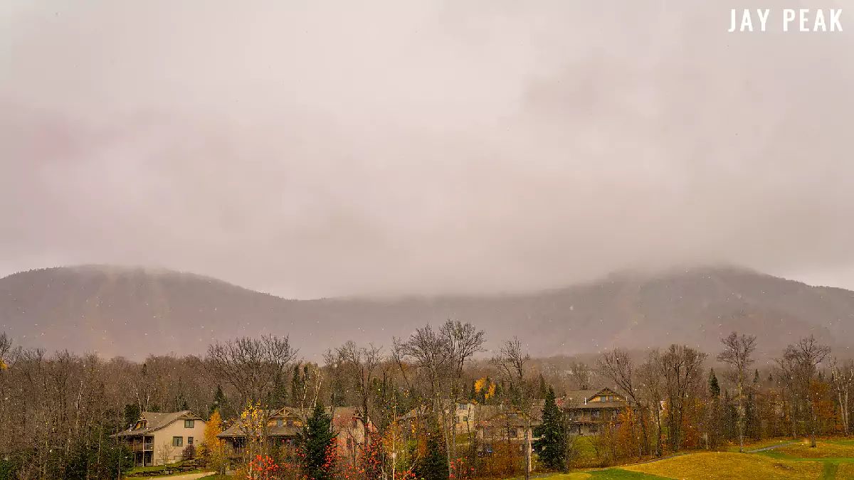
The first wave of this storm is ongoing in the Northeast with snow overperforming the models, but there is next to no accumulations because the ground is too warm and the air temps at the surface are above freezing everywhere south of the border. If there was snowpack on the mountains however it would be accumulating. One more reason why snowmaking is helpful as it does in fact help preserve early season natural snow.
This storm coverage is more of a test run as it's not going to be actionable except for those who want to make some first turns on the white stuff. We're talking fast grass at elevation with a smattering of sharp rocks so know where the grass is!
Premium Weather Coverage Requires a Premium Subscription
Just a quick reminder for those who are not yet aware. Snowology is now offering premium weather coverage only to Premium Subscribers and that includes Storm Updates and other actionable forecasting coverage beyond the next day. Free subscribers have the benefit of being alerted by email to all free content we produce including our Daily Weather Update which covers the next day's weather and a rough outlook, and all other non-weather articles. We will stop sending Storm Updates to Free Subscribers when our Daily Weather Updates start in mid-November however the forecasting below will remain only be accessible by Premium Subscription.
How much does a premium subscription cost you ask? The equivalent of just $2.50/month and it comes with other perks that can save you far more than that. We t̶h̶i̶n̶k̶ know that's a bargain.
The detailed update is immediately below for Premium Subscribers.


