I sent an update to Premium Subscribers earlier just to give a head's up with some basic guidance given some shifts since yesterday. With the full update I'll go a bit deeper into the details of the forecast, but I'll keep it short and easy to digest.
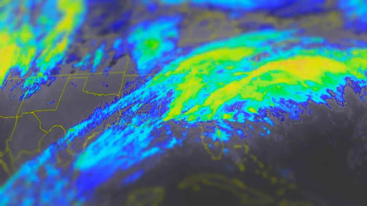
We'll start with the simulated radar view and some basic guidance before we get into the premium content. This loop covers all of Sunday and Monday.
Snow starts in earnest Sunday afternoon however all ski areas including Killington who are south of that latitude are at risk of mixing during the storm.
Snowfall Forecast & Precipitation Types
Let's look at the snow forecast map which also shows the predominant precipitation types. Snow shown in NY outside of the Eastern ADK's is from lake effect on the trail end.
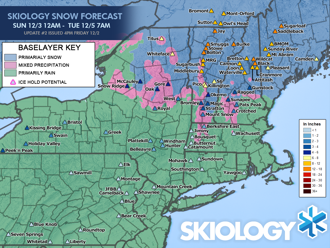
Full depth won't happen until Tuesday morning. Tuesday morning may be a good time to hit the northern areas just to give you extra float above the frozen terrain. Monday should be plenty fun though with free refills.
You might think that 6"-8" at Killington will make for a great day, but it could easily be either 3"-4" or 8"-12". Confidence increases and variability decreases in forecasting as you get further away from changeover lines. This is the #1 reason why Northeast snow forecasting is probably the most difficult in North America, but there are many others of course.
Let's look at the temps over all of Monday and Tuesday. Pay close attention to how marginal temperatures are from Killington and south latitudes, and in Northern Vermont as well.
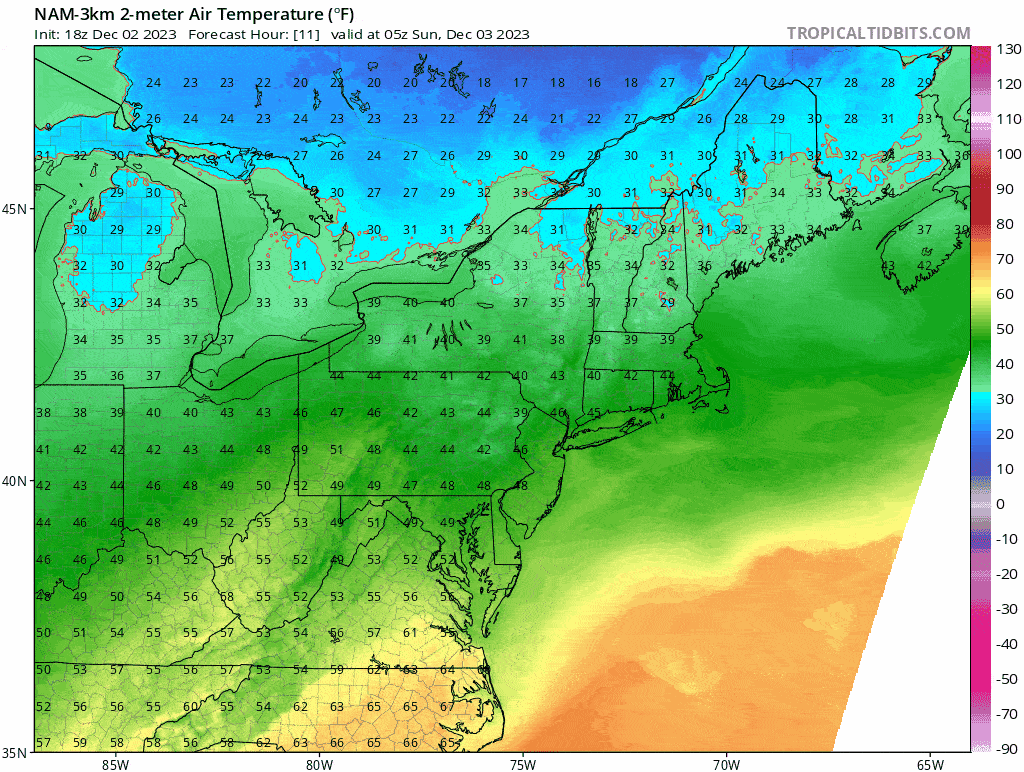
There's clearly risk all over Vermont due to the inland low staying intact after doing just a partial transfer of energy to the coastal storm. That inland low situated near Montreal will push warm air northeast into the ADK's and Vermont.
The strength of that inland low after transfer determines whether Northern New York and Vermont over or under-performs. That low however should bring fluffy snow on the back end which starts around open on Monday. We do need the low not to end up further west to feed onto the Spine, but models seem pretty consistent in signaling a healthy dose for about 30 hours. There's plenty of snowpack at elevation in N-VT, so a foot would go a long way in opening terrain.
Wind Risk
Technically there's none to speak of which will limit access to terrain, and that's just when it gets gusty near close on Sunday in Southern Vermont just as the snow gets going. The strongest winds across the region happen overnight and should clear by open on Monday. Not seriously windy, but it will drift snow while it is falling on the higher peaks. Monday and Tuesday will be just windy enough to create lake effect and upsloping snow, but not windy enough to shut down any critical lifts.
Travel Issues
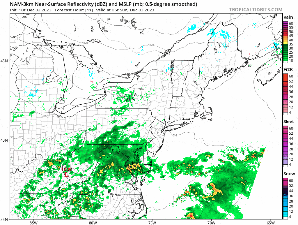
We are going to have some snowy roads both Sunday at close and Monday at open for both commutes. I'm showing three different 3-hour snowfall maps from the NAM3K to help you understand the driving challenges. The first shows snowfall 4PM-7PM on Sunday, the second shows 4AM-7AM on Monday, and the third shows 4PM-7PM Monday. These are all of the primary travel windows.
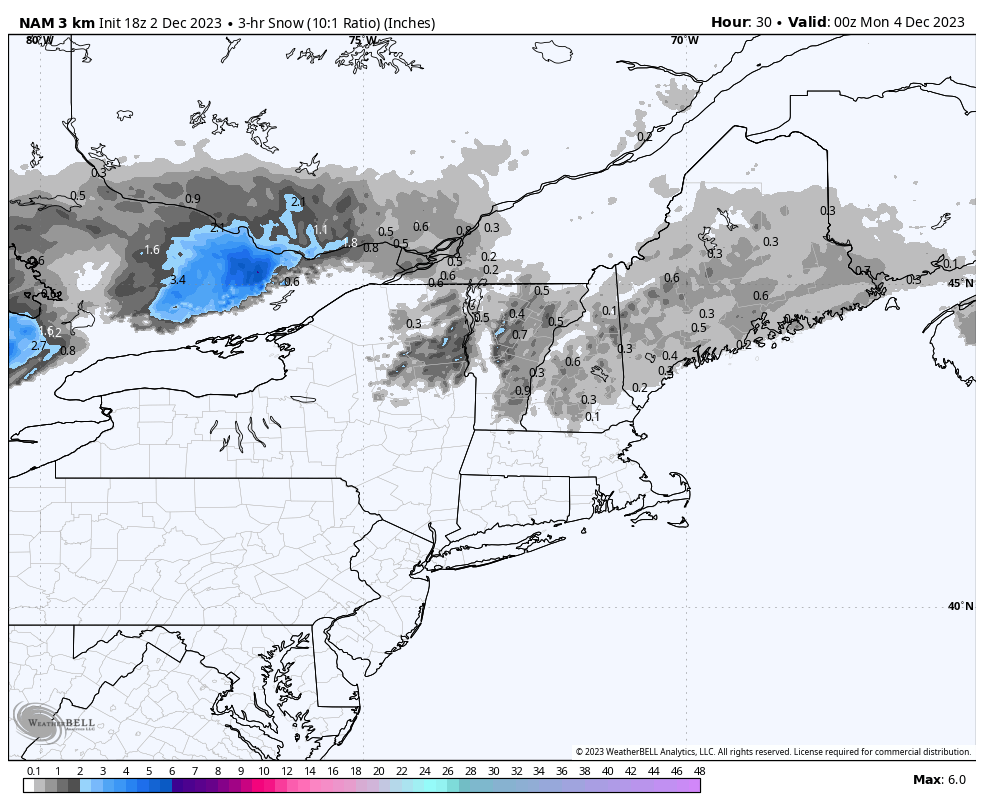
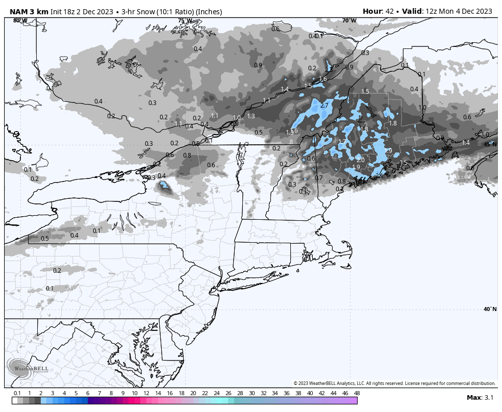
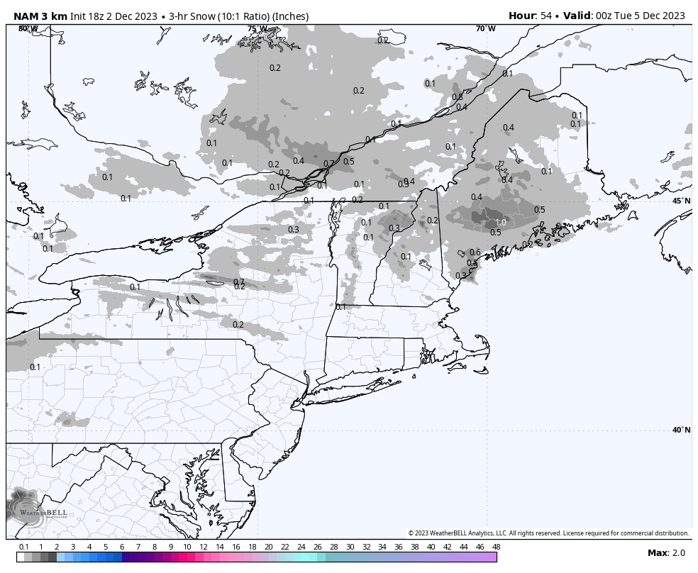
The way to read these maps is know that the blue areas are at least where moderate snowfall can be expected at rates of over 1/2" per hour, and sometimes heavy snow at rates of 1" per hour or more. Use extra caution in the blue areas and consider only traveling with a good snow tire or all weather (not all season) tire. The gray areas are generally light snow, though there can be bursts, especially from lake effect bands and snow squalls. Roads on Sunday evening away from the mountains and Monday morning in Vermont may be warm enough to melt most of the snow, but things will start getting slick eventually. The worst driving to and from the mountains will be on Monday morning in Maine.
Knowledge Is Powder!
-- Matt


Comments ()