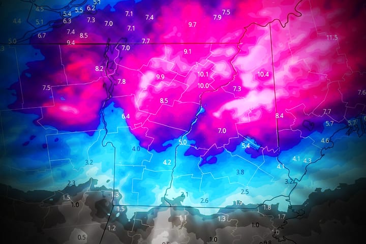
We have about 3 days next week where rain will impact various parts of the Northeast followed by a refreeze and then likely a good back-end snow event off the lakes and on the upslope in parts of West Virginia, Pennsylvania, New York and Vermont. This storm is not likely to wash away much terrain except where cover is minimal and the most notable issue will be icing up terrain when the cold comes back behind the storm. Where the back-end delivers it may well create some powder days, and there's some hope for parts of Quebec to be all or mostly snow.
Models have come into rough agreement now and it is taking what I felt was the most probable result when I issued the Storm Watch on Thursday; a slower track east with a fairly weak follow-on coastal low. Here's a look at what the GFS is presently seeing for this storm in a loop covering Sunday through Friday.
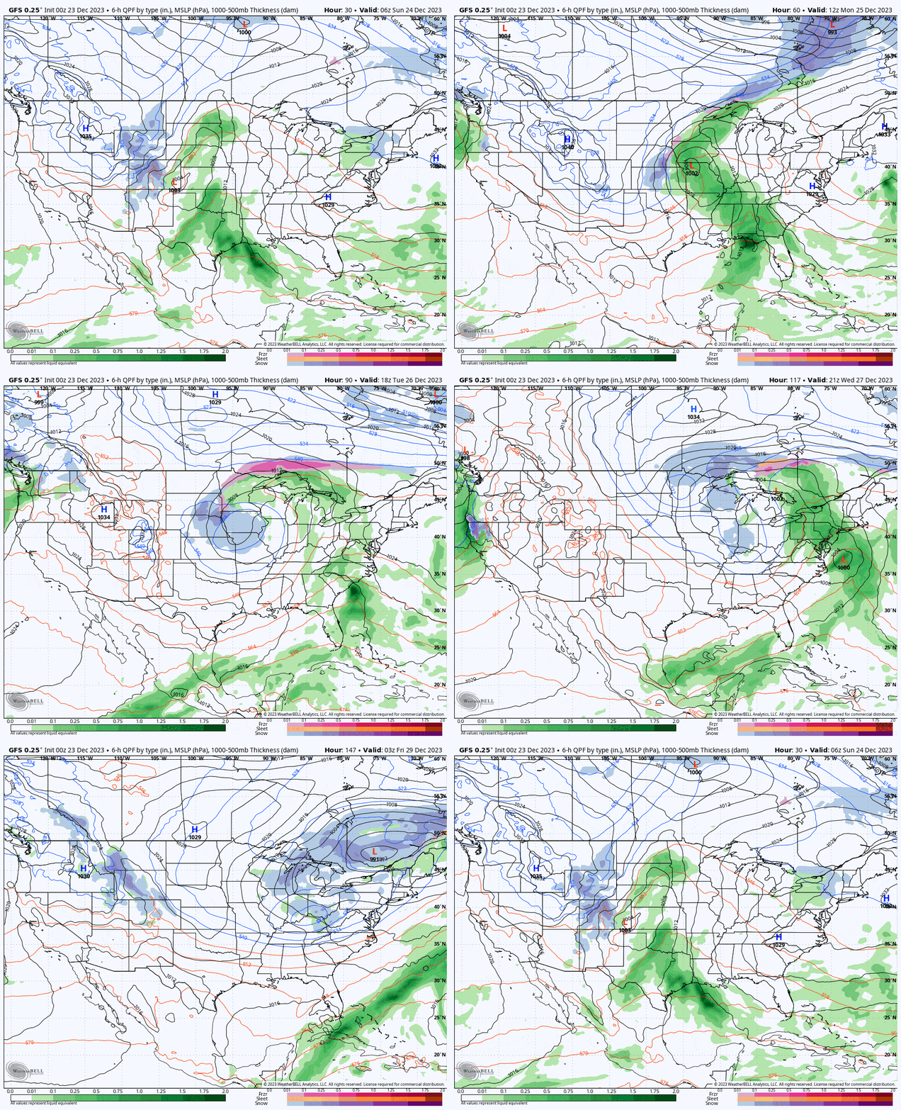
We are of course going to see further shifts in the models at this range, but this is an important period for skiing and riding and so I'm going to hit on all of the major points at an appropriate level of detail for this range with a focus on what affects conditions and operations from Tuesday through Sunday. Snowology isn't simply snow forecasting nor is it simply weather, my coverage seeks to forecast the conditions and operational impactions you will see when skiing and riding at a given time across the entire Northeast, and no one else does that.
Premium Subscribers will get an overview of the potential variability, a breakdown of what models presently see by day in terms of precipitation and temperatures including the effect of the refreeze (not good), and a discussion of the back-end potential for snow and wind (potentially fantastic except for some wind issues). My coverage becomes more specific in future updates as confidence increases.

