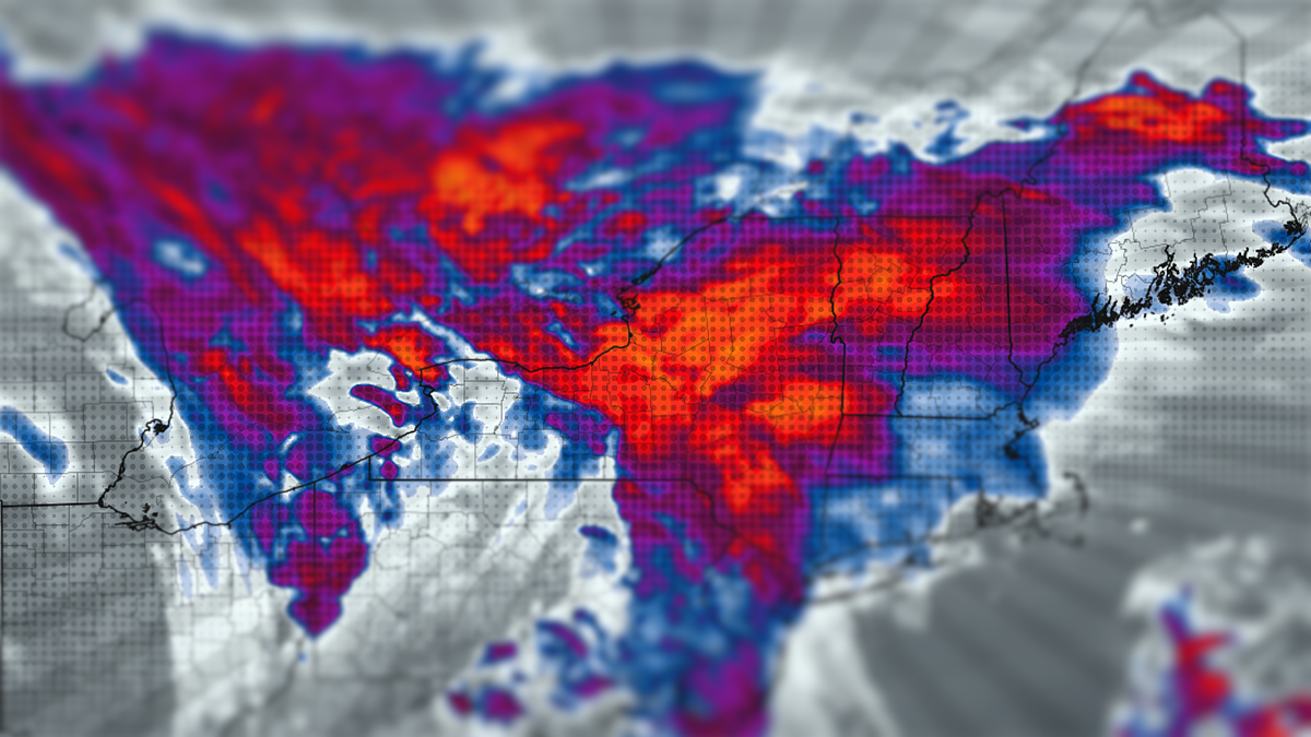
Here's the deal, there will be rain, mist, and fog around through at least Thursday, and that's just the first part of this system. I will map out where each of those things are likely to be each day, but somewhere each day it will likely be skiable in parts of the region without getting wet and the snow will of course be soft.
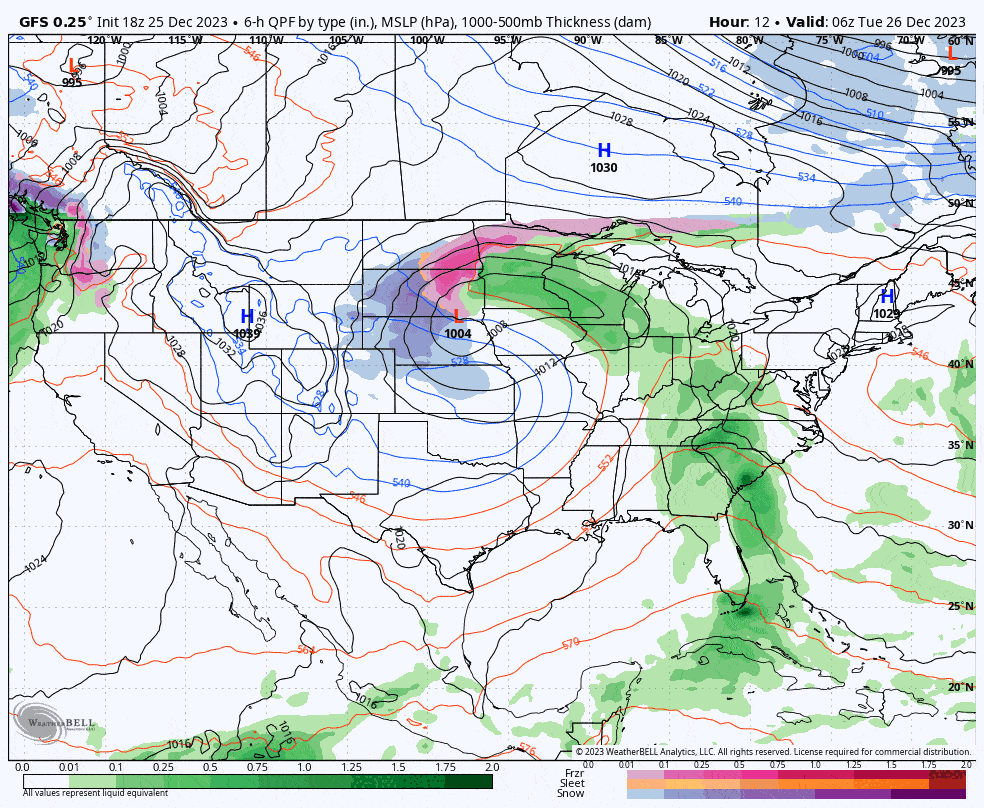
There is probably going to be a second storm that forms on Friday with effects through Saturday which would pull the cold down and create some bonus snow as things refreeze and there could be some back end upsloping in Northern New England, but at this time I don't expect a lot or possibly anything off the lakes as we've lost the main driver with the cut-off low drifting southeast. If we get this second storm the exact focus of this snow is uncertain, but it likely would occur primarily in New England.
Right now it looks like the refreeze will start to happen in some areas on Friday, mostly where it may be snowing, but on Saturday and Sunday the refreeze may be widespread and given the weather prior to this, increased holiday crowds, and limited terrain, conditions will be icy except where it is snowing, resurfaced by snowmaking, or warms above freezing during the day.
Here's the latest GFS loop showing Tuesday through Saturday where both of these storms can be see in the East.
If you appreciate Snowology's coverage and haven't yet subscribed, here's a 20% off discount good until the end of Christmas!
I'm going to walk through each day for impacts of the rain and visibility, and then cover the second storm as things stand right now, but only for Premium Subscribers.


