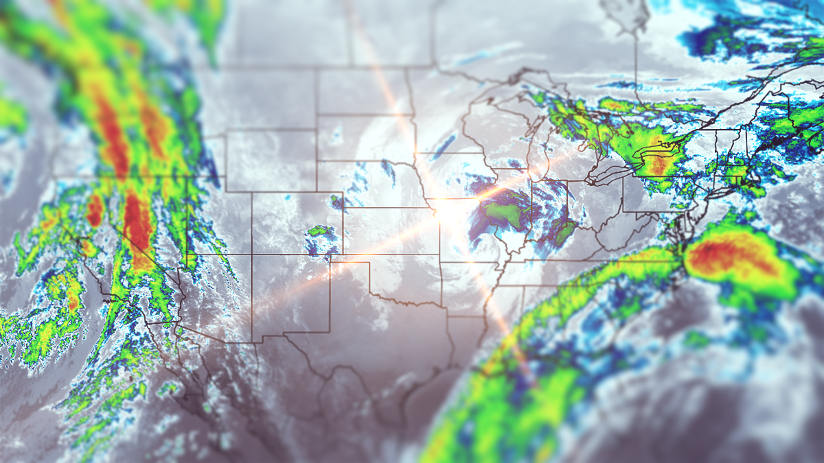
To say it is a bit moist outside might be an understatement, and for the time being we all hate that word. It's melting what little snow we had, but the real culprit is actually the lack of freezing temps overnight. After days above freezing with really damp conditions the snow melts even faster. I call this condition "rot". The snow is great however, very carveable and much preferable to a busy holiday on ice, but this will tamp down the holiday crowds which ski areas and connected businesses rely on and it would be really nice to have more terrain. Strong El Nino's suck and December seems to be when we get the worst of it.
We have two more days of rain and fog to go before things cool back down and we get a little snow on the back end of the storm on Saturday, but we're also going to start icing up with a refreeze hitting a few places on Friday and then expanding through Saturday and Sunday. Here's the latest ECMWF showing Thursday through Sunday.
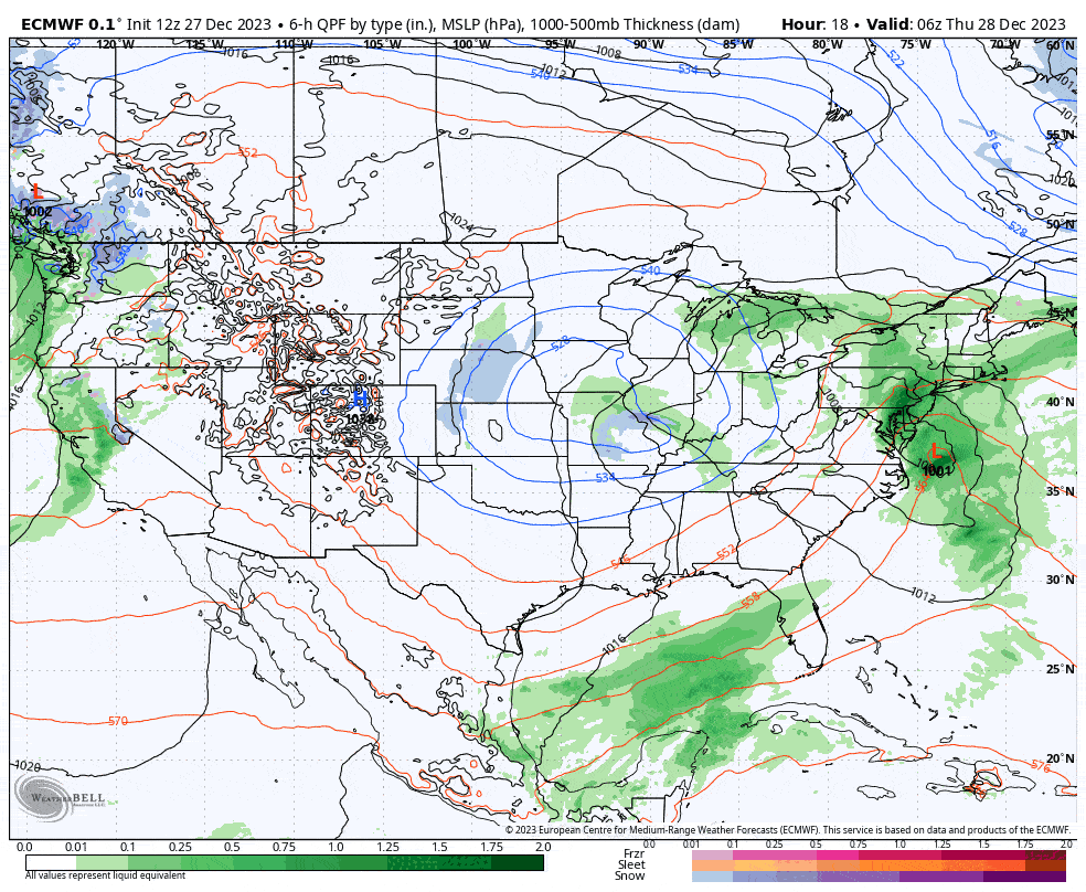
I'm going to detail the rain on Thursday and Friday as well as visibility issues, and then the transition to snow and refreezes on Saturday and Sunday in a Weekend Preview. This will be a quick update despite 4 days of coverage.


