I'm a little backed up and haven't covered this storm yet. It's going to be mostly rain, more than the last storm it looks like unfortunately, but a very similar sort of storm. Some have over-promoted the snowfall, but there will possibly be a handful of winners. There's also a potential multi-day back-end event with both lake effect and upsloping snow from Monday through Thursday which will be covered separately.
"Minor Storms" are ones that generally don't see many or any +6" snowfall totals and typically would be something like a clipper, but in this case it is a weak coastal storm that brings mostly rain with a handful of potential winners. I will spend less time talking about the technical details in these storms than larger ones. Minor Storm Updates and Back-End Snow Updates will contain mostly free content, but wind hold, snowfall, and precipitation type forecasts will be in a paywalled section for just Premium Subscribers. If you want to trial a Premium Subscription for 10 days, just click on that button below!
Storm Overview
Let's start with a quick overview of how this storm will form using a 500 mb vorticity map (read vorticity as energy in the atmosphere). You will see a trough extending south into the Midwest as the trough starts to lean negative, which is the trigger for those storms to start to spin up. That trough is going to dip into the lower branch of the split jet to pick up more energy and spin up a storm around the Delmarva Peninsula and then track northeast into the Gulf of Maine where it intensifies. This loop runs from Sunday through Monday and shows the ECMWF's modeling.
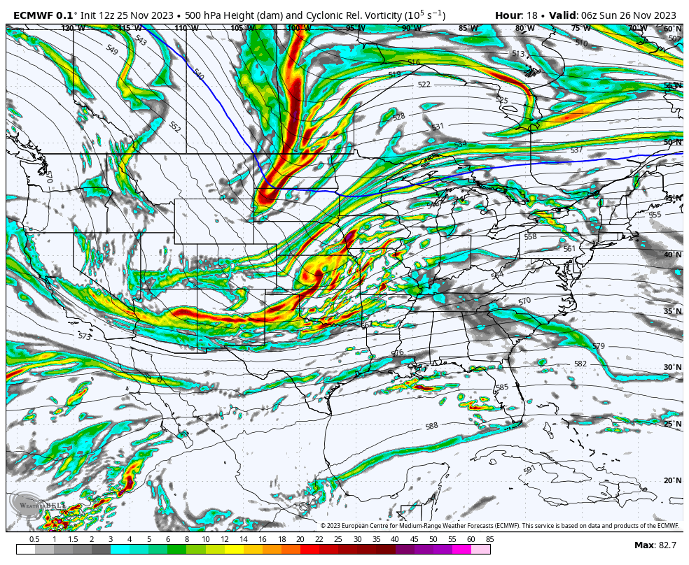
This trough becomes negatively tilted (points southwest) too far away from the ocean or another strong source of energy and the trough itself isn't a deep digger, so this storm won't be very strong and it develops too late to lock the cold air in for more snow. Typically these sorts of storms have better snow potential in the Whites and Longfellows since the late developing storm is better at keeping cold locked in further east.
Now let's take a look at a 24 hour simulated radar from today's 18z run of the NAM3K showing 4PM on Sunday through 4PM on Monday as well as the surface temperatures for the same time.
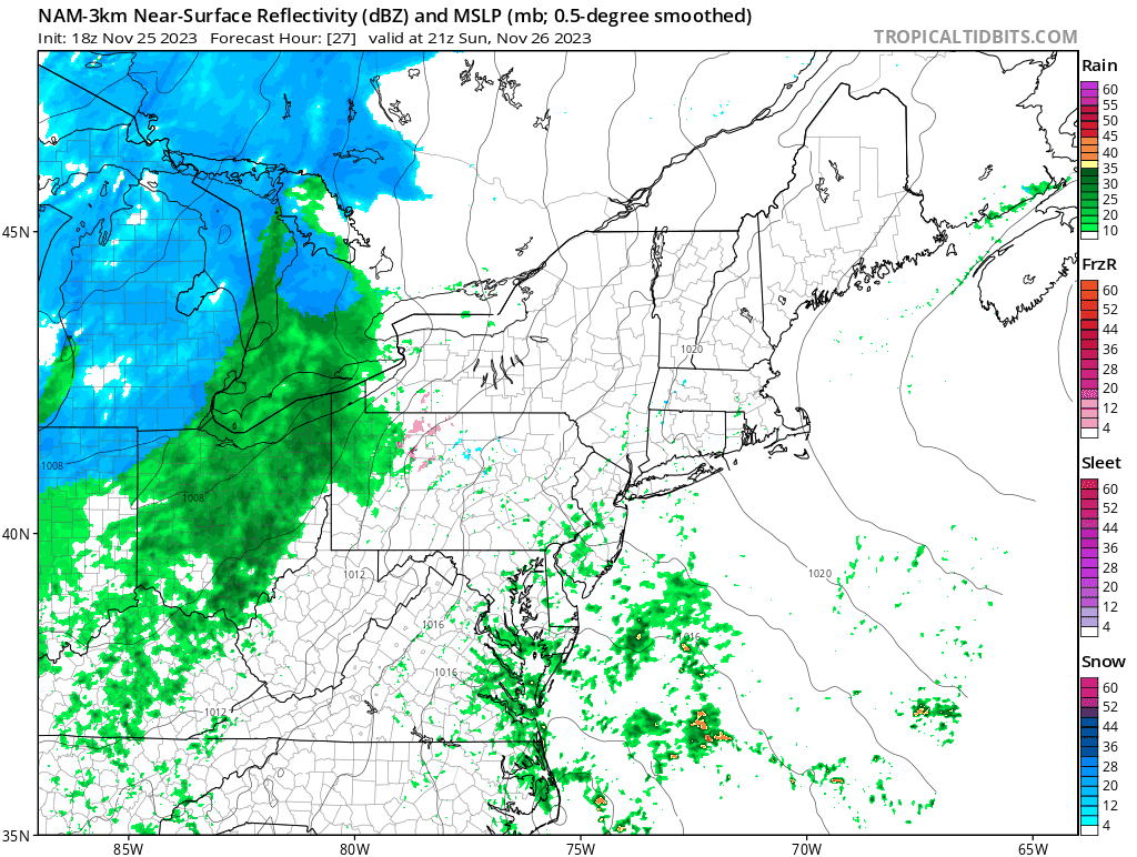
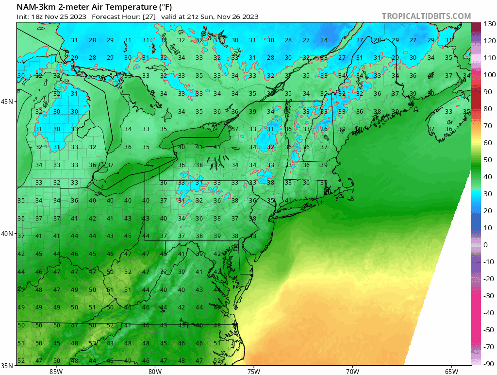
By the time the lifts spin temperatures in will be above freezing in all of Vermont outside of some summits on the spine. Those snow levels are likely to creep up those mountains while at lower elevations they may change to rain. As always, in a situation like this a single degree can make or break a storm and trying to hunt anything that doesn't look marginally promising is a mistake, and even hunting the marginally promising stuff can skunk you.
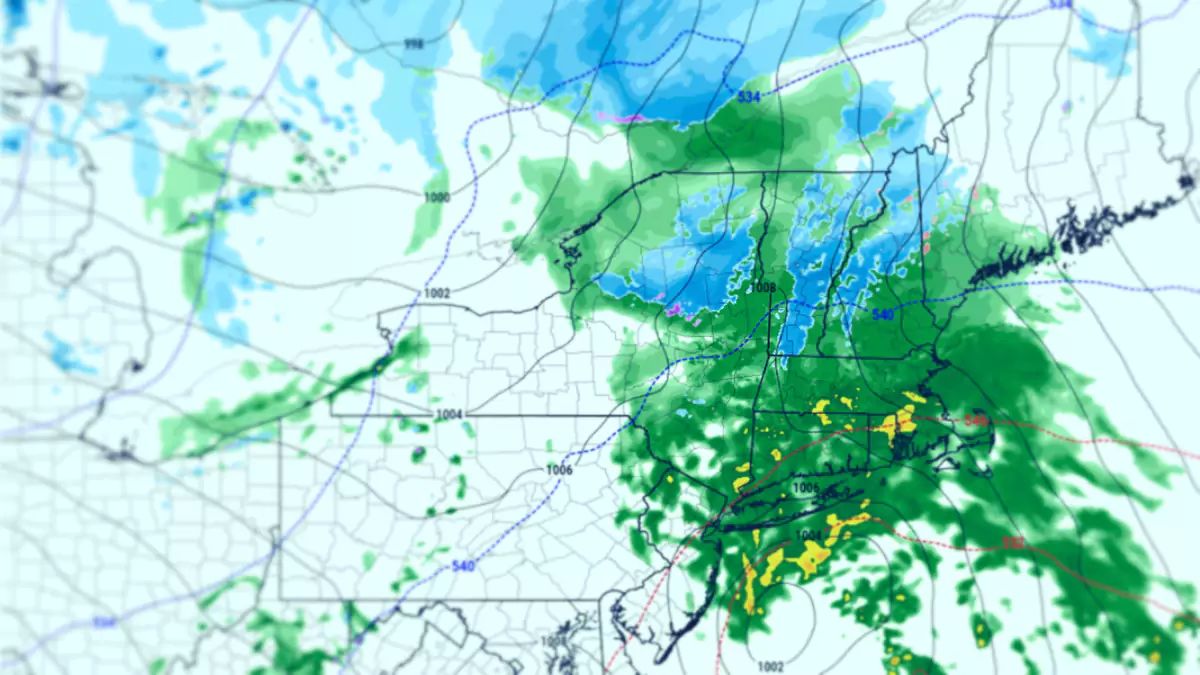
Here's what the mix of precipitation looks like through Monday at 4PM. It's best to target where no rain is indicated or at least just a light mix. Pickings are likely to be even more thin than in the last storm, but with a similar focus. Unlike the last storm, the non-snow frozen stuff will be purely transitional with the exception of that spot in W-PA and W-NY.

By open on Monday I expect only Wildcat, Sunday River, Saddleback, and Sugarloaf to be snow, but some of them will likely switch over to rain. Some decent accumulations are possible in N-VT with just a little bit of rain, but the snow will be mank by open. In Quebec though Tremblant and maybe Saint-Sauveur will stay all snow and pick up a decent amount of it. Near Quebec City will be the jackpot though. With this type of storm you are generally looking to the Whites, Longfellows, and areas north of the Montreal latitude in Quebec for hunting pow.
Remember, terrain is still very limited so don't expect to be jumping in the glades or seeing ropes drop on trails in most or all cases.


