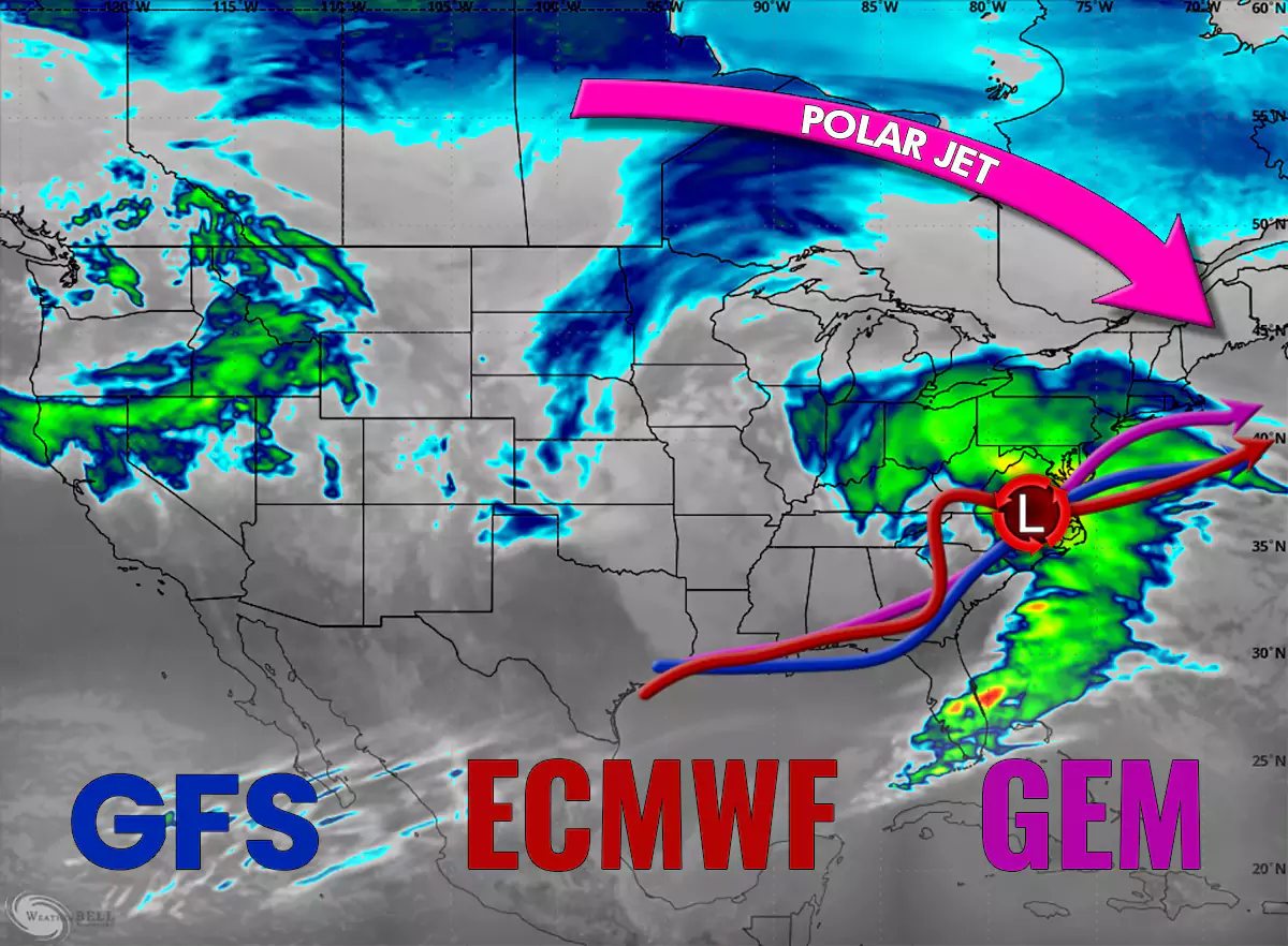
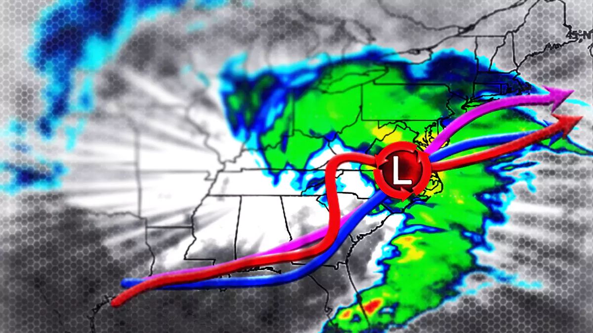
We're going to get a storm, likely starting Saturday morning in Pennsylvania, and lasting through Sunday in New England. Chances are decent for widespread accumulations of a foot or more, however there is uncertainty as to how far north the heavy snow will reach.
I've heard a lot of people say that we don't cover areas like Pennsylvania, New Jersey, and Southern New England as much, but our storm forecasting of course follows the snow and opportunities in Pennsylvania and New Jersey have been sparse for years, but this storm has a chance of being the biggest storm to hit the Keystone State since Snowology launched in 2018. Just a chance folks, but a decent one.

This is a pretty straight-forward storm for the most part. This storm results from a remnant low in the Southwest, and as I covered previously troughs like to merge with cut-off lows and one will extend down to pick this energy up and it will light up a new low in the Gulf of Mexico, track up the Southeast coast, likely intensify more when it reaches the Atlantic, and then experience resistance from northwest flow that will push the track more to the east. Pennsylvania and New Jersey are highly likely to get healthy amounts of snow from this. Southern New York and Southern New England look likely to get a nice dumping, but further north and west into New York, Vermont, New Hampshire, and Maine are question marks for notable impacts. Wind on on Sunday may be an issue, as well as travel, and I'll cover all of that in increasing detail as confidence increases day by day.
Our detailed forecasting coverage and parlaying that into conditions on the ground however is reserved for Premium Subscribers so if you aren't one yet, this is a great time to sign up!


