We had some scary (disappointing) model runs yesterday as the medium-range models were adjusting, but they are in really good agreement right now for 3-4 days out. We are likely to see just finer adjustments on track and intensity from here on. Models are likely within 50 miles on track through the Northeast corridor, and within about 10 mb on central pressures. Both of those things however can create a wide spread of snowfall amounts at a given location, so we're not quite there yet for forecasting snowfall in a specific manner at ski areas, but on Thursday we will.
In this update I'm going to provide guidance beyond snowfall for timing, wind, and also travel concerns to help skiers and riders navigate this storm, and I will revisit the back-end potential though there is still a lot of uncertainty there. It still looks like all tracked ski areas in the Northeast probably stay all snow. As a forecaster that certainly alleviates my stress, and for skiers and riders it should bring much less opportunity for disappointment. This is still a storm that will primarily impact Pennsylvania, New Jersey, Southern New York, and Southern New England, however there is potential for healthy snow up to about the Killington latitude (that's purposefully non-committal folks).
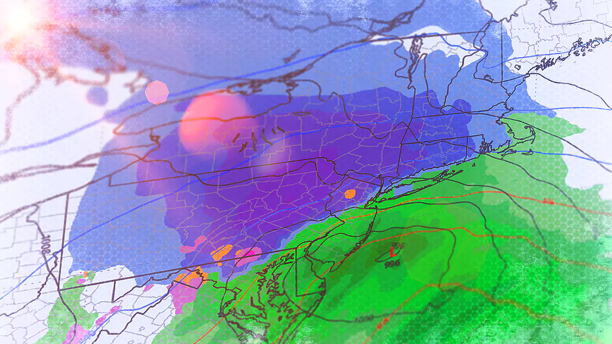
Let's take a look at the wide view of this storm for all of Saturday and Sunday using the latest run of the ECMWF which is at this time the most bullish of the three major medium-range models.