So something happened last night. The storm exploded. No one was injured but there are going to be a lot more smiles as a result of the aftermath. A lot of bumps are coming your way!

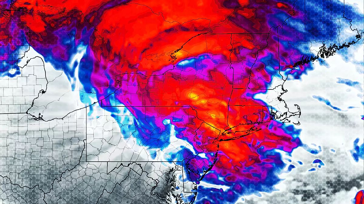
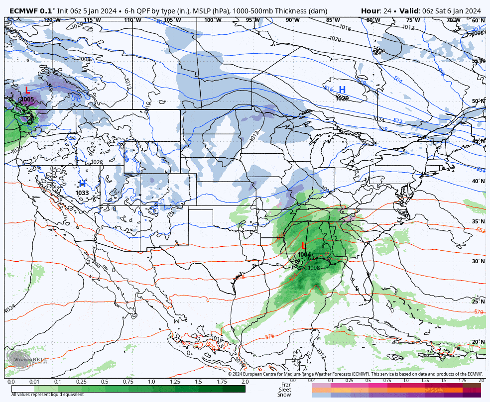
The scenario detailed in Update #3 is still in play where the second chunk of energy is going to feed the primary storm, something I described as a 'kicker', but there are two other critical things happening that no trustworthy models saw yesterday. First, the primary storm is deepening more quickly and will present much more like a larger-scale cyclone instead of a shortwave traveling quickly along a boundary. Second, there's energy up in Ontario, a weak low, and with a stronger coastal storm it will also be transferring energy and moisture to the storm. Third, it is now hugging the coast tightly with about a 50 mile shift north. Here's what the 6-hour precipitation intensity loop now looks like from the 6z ECMWF for all of Saturday and Sunday. There's a much wider spread of moderate to heavy snow!
The only downside to this is that a stronger storm means more wind, so there will likely be some wind holds on Sunday that you will want to avoid. In addition to my updated snowfall forecast I'll provide guidance on timing and more notable driving issues Saturday and Sunday, and there is a wind hold forecast for Sunday. Details matter folks! This storm is very different from what it looked like yesterday in the models!


