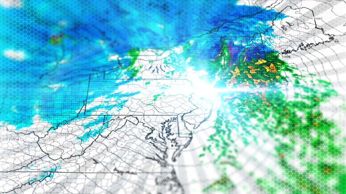
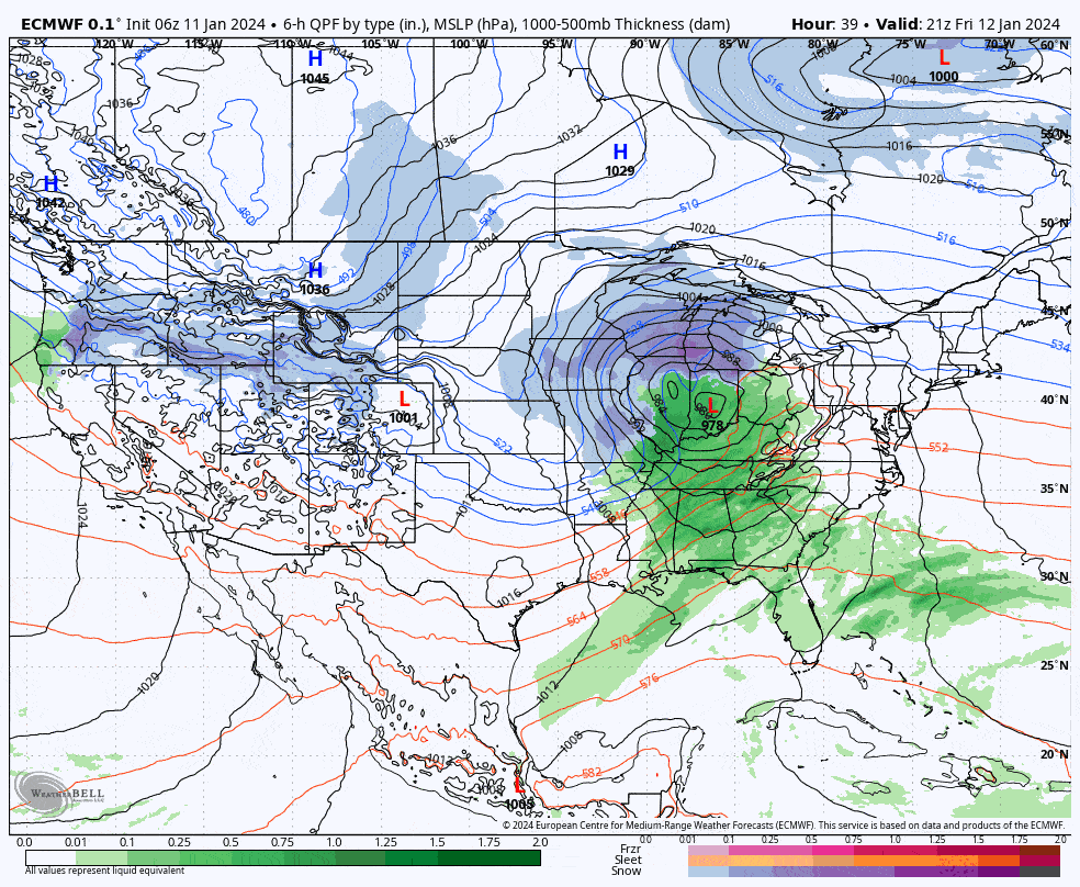
This is an important weekend and we'll have a storm impacting the entire region on Saturday with both snow and rain, maybe a little ice, and unfortunately also wind. Wind will be a notable issue for operations on Saturday in parts of the NY, VT, NH, ME, and ET (Eastern Townships of Quebec), though it will be transient as the system moves through the Northeast. Saturday will be difficult and you will want to try to plan around it appropriately. There will be back-end snow plus wind on Sunday, and some much more isolated wind threats on Monday as the lake effect driven snow tapers off. First, here's the broad view from the 6z ECMWF showing the storm from Friday at 4PM through Sunday at 4PM.
I have an update snowfall map below covering the Saturday ski day. There is also an updated wind hold map for Saturday with times for when risk subsides. There will also be a timestamped simulated radar and some information about broader travel issues on Saturday morning. Sunday and Monday will be covered in a Back-End Update that I will publish tonight. I will also update both the front-end and the back-end on Friday, and likely the back-end again on Saturday to keep dialing it in.


