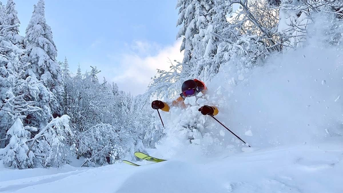
This wasn't supposed to happen, but man did this last storm deliver. It wasn't a big storm by any stretch. Some models last week were signaling a classic nor'easter, but support for that was always tentative at best and the storm was modeled to come through flat and un-amped. Medium-range models aren't fantastic with these smaller storms and can miss some of the amplification they see when the low pressure center reaches the ocean. The NAM3K came through and showed us that it would in the final hours and that caused some bumps in the NWS forecast beyond 6" despite very little water falling as snow from this storm. It was fluffy snow, very, very fluffy snow, and it stacked up!

How much did it stack up? The highest report I've seen is 16" at Sugarbush. That's more than double what the NWS was forecasting and I passed on forecasting this storm because it looked like no more than 6" in all of the models, and high ratio snow that better served as a refresher than a full on blower-pow-fest. Here's what the NWS interpolation saw for this storm, but as always this product almost always underestimates the snowfall on the top of mountains with more prominence, and radar holes and more remote areas make that even worse. I've also included the NWS forecast from 5PM on Monday right before the snow started to fall. Note, the NWS forecast includes up to 72 hours of lake effect snow while the NWS Snowfall Analysis only shows the last 24 hours up until 7AM this morning.
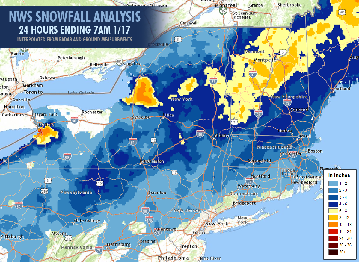
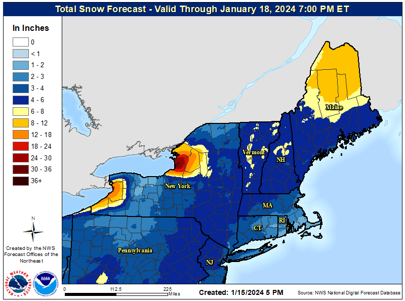
In parts of PA, NY, VT, NH, and ME more than double the forecasted snow fell. This was the result of a second shortwave coming in from the northwest as the main storm was following along the coast. It resulted in more amplification than any model saw, pretty much double even when adjusting for ratios from the default 10:1 to 20:1 due to the fluffy snow. Some people called this Utah powder, and it was. The cold Arctic air we are under with saturation through much of the Troposphere produced fantastic dendrite growth in a dry powder with soft winds that allowed it to stack up deep and fluffy.
When I caught wind of the incoming over-performance Tuesday afternoon I issued an alert to subscribers about the sleeper pow and how this would continue to stack up through Friday in various locations. It amazes me that more people don't hunt this stuff when it happens, which is why it's sleeper pow. Even our special alert got very little traction but the storm dropped the deepest snow of the season in a 24 hour period that we have seen in some places. If you want to hunt like a pro and can get away on a weekday on short notice, these are the days of dreams folks and the snow itself doesn't get better than this. It's great because so few people understand how to find this type of snow. It's sneaky and it can fly under the radar many weather resources.
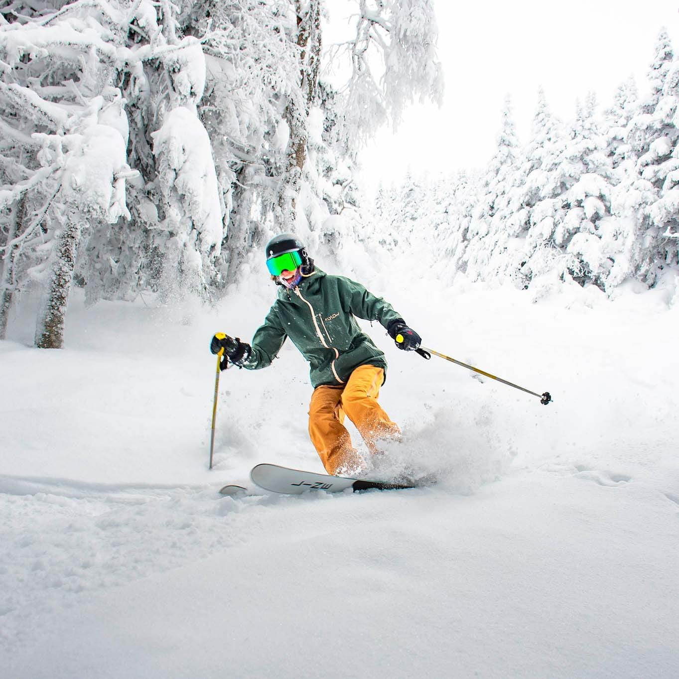
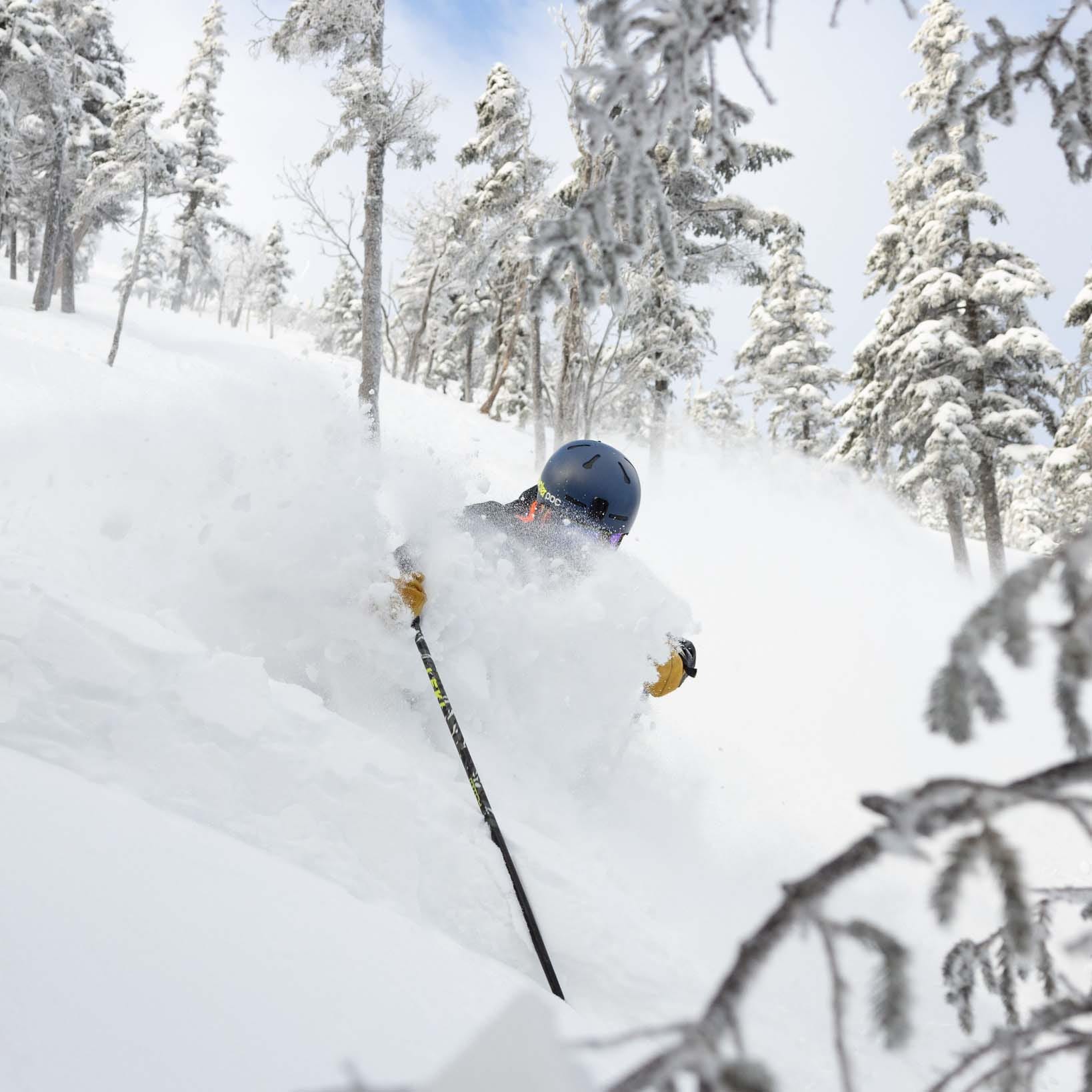
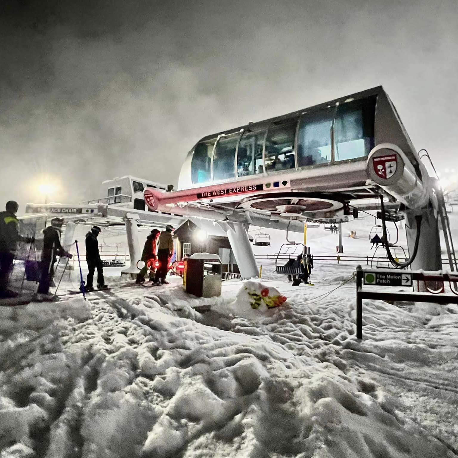
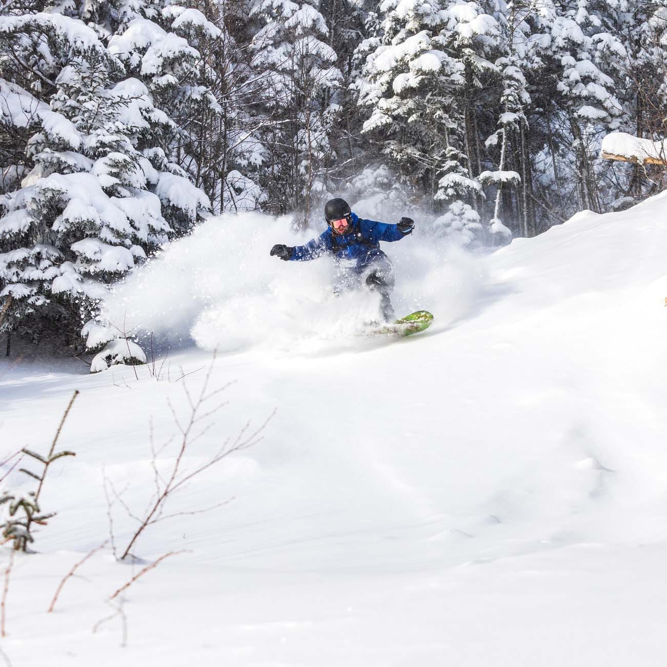
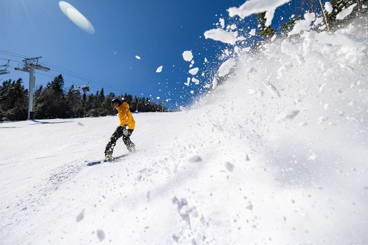
Jay Peak, Sugarloaf, West Mountain, and Whiteface all got the goods. Photos sourced from each mountain.
Due to a lack of reporting standards doing a full postmortem is unfortunately too difficult. This is especially true when snow spans more than one reporting period and some mountains only report 1 day or that plus a 7 day total, but here is a list of some of the biggest winners in some of the hardest hit areas of the Northeast.
Sugarloaf: 13"
Saddleback: 10"
Sunday River: 8"
Cannon: 8" (possibly an under-report)
Bretton Woods: 14"
Stratton: 8"
Magic: 6" (probably a base measurement)
Okemo: 4" (massive under-report, they got 10")
Killington: 10"
Sugarbush: 16"
Burke: 8"
Jay Peak: 12"
This was on top of copious amounts of snow since this last weekend, in fact 7 day totals are starting to pass 40" in some cases. People were calling last week's storms the end of winter, but they were base builders and just the start.
Make sure to break out your Snowology Club discounts to hunt this. Stratton has dropped ropes on 2/3 of their glades and our 50% off discount is good on Monday through Thursday there, and Magic opens back up on Thursday with some untouched pow and the east side trails and some glades completely open and maybe more, and our discounts work on Thursdays and Fridays there. I also have some more secrets to share for tomorrow in the Subscriber Alert below!

