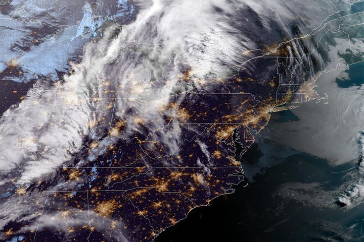
Last week we saw the continuation of a recovery with one overperforming storm dumping up to 16" of blower pow across the Northeast, another light system in Pennsylvania with a fantastic back-end that pummeled the Alleghenies, and non-stop lake effect snow that benefited mostly New York, but also parts of Vermont. Cold air came to rest on the Northeast for the weekend making it challenging for some while snowmaking was very productive across the Northeast and with the benefit of the natural snow we are now widely seeing high percentages of terrain open across most of the region and a lot of natural snow terrain now in play.
This week will be different as the cold air starts to depart today as the cold high pressure scoots off over the Atlantic putting us into southwesterly flow with three different pushes of moisture and warmer air expected through Friday that will fall with light to moderate amounts of snow, freezing rain, and rain. We will likely see a return of some cold by Saturday and there's storm potential for Sunday also. I will be covering the Tuesday through Wednesday push in a subsequent update.
This article covers both the Full Week Weather Outlook as well as the Long-Range Outlook covering the following week.


