We have a storm coming, an 'inside runner' tracking up the wrong side of the Appalachians. Normally that would mean a storm that jumps to the coast a bit too late for all snow except for the northern areas. This is different. We have a surge of cold Arctic air descending on the Northeast that is going to push the transfer of energy to the coast more quickly, and then continue to shove that storm out to sea. That's all pretty much guaranteed, but how strong the storm is and when that push happens and therefore who gets snow is still an open question. It's all about timing and intensity.
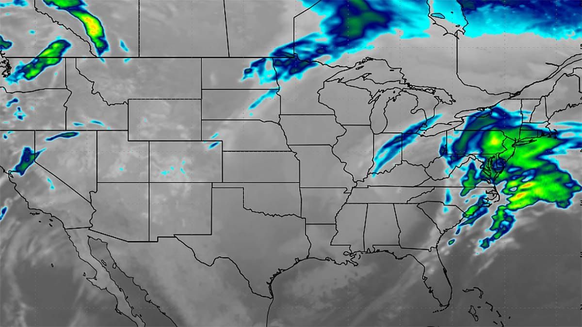
Let's take a look at the wide view of this storm from the the latest run of the GFS to set things up. This covers Friday through Monday.
I'm going to cover this weekend in brief as part of this since we do have a refreeze to deal with on Saturday in some more northern areas, and Sunday a slightly wider refreeze plus this system. I'll then cover the basic elements involved here and how that affects variability. I will then also cover the current state of snow modeling and potential for wind issues. Models are in pretty good agreement at this distance on the basics, but pinpoint forecasting is as always pointless at this time. We're just trying to hit the target from 4-5 days out and not the bullseye because it's too far away to see that clearly.


