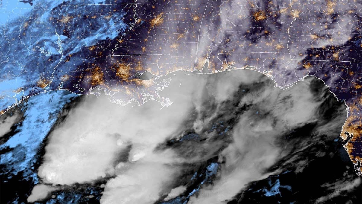
We have a pretty good sized storm coming starting late Saturday. It's an 'inside runner' that tracks up the western side of the Appalachians. When it reaches Ohio it will transfer energy to the coast somewhere near the Chesapeake Bay where the storm will continue to intensify and track south of New England towards the east-northeast. Snow will exit the Northeast sometime Monday afternoon. Let's start out with the broad view from the 6z ECMWF showing 7PM Friday through 7PM on Monday.
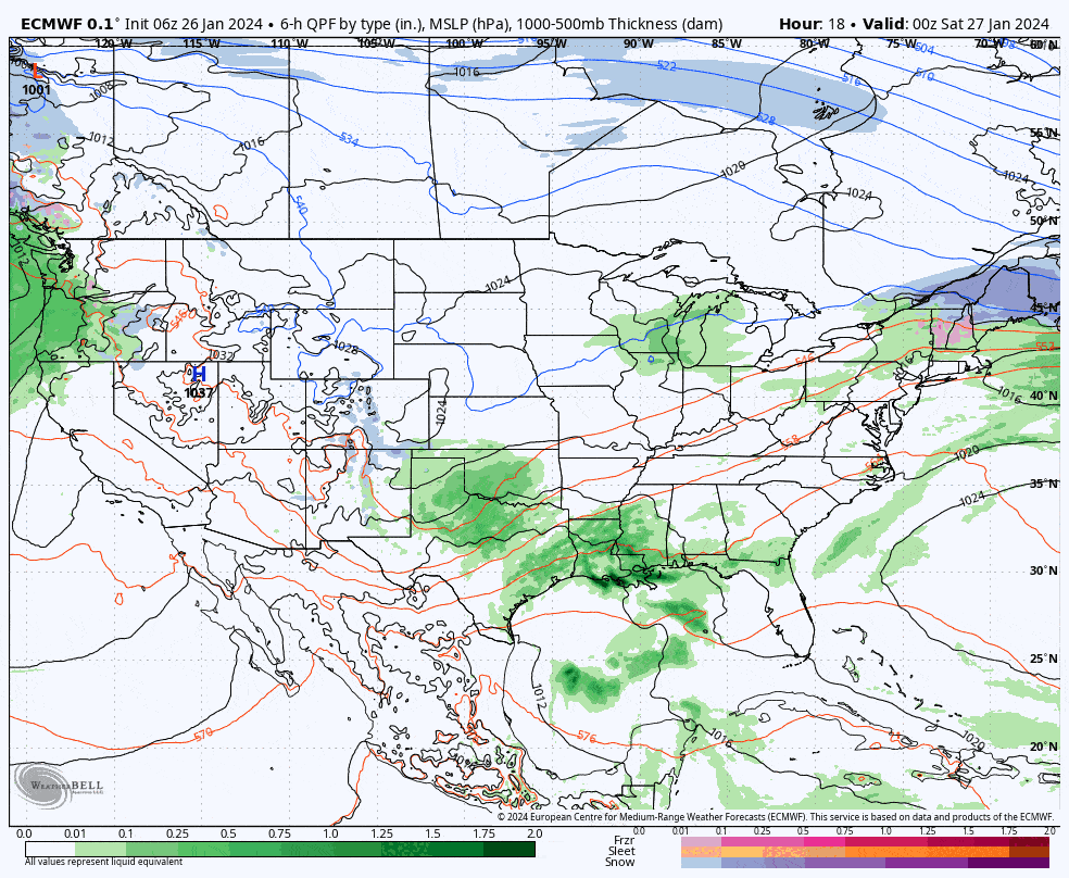
Our main concerns and my coverage regarding this storm at this time are who gets rain and who gets snow and how much snow of course, and what the timing of the storm will be to aid in both scoring some pow and also driving south through the snow on Sunday evening. The storm will probably drop up to a foot of snow in some areas, though not necessarily at ski areas and the snow will be spread across two ski days. I have no concerns about wind holds on Sunday, and just minimal concerns on Monday, so wind will not be part of this update.
I have also added more than 15 ski areas to our forecast map bringing the total to over 100 ski areas that receive manual forecasting for snow, precipitation types, conditions, and wind holds, though not all at one time.


