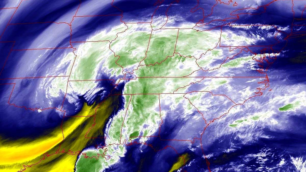
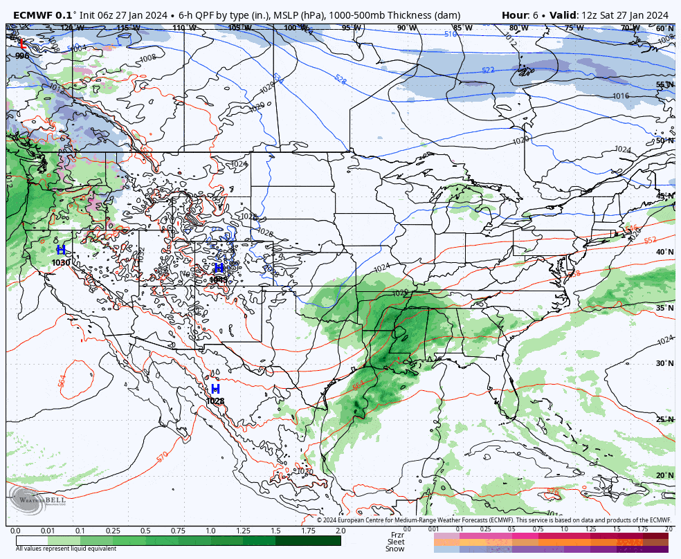
We're getting down to the wire and the leading edge of rain should enter SW-PA around 8PM this evening and by open precipitation of various types should overspread most of the Northeast outside of the Adirondacks and Northern New England. By close on Sunday snow should have reached about the Killington latitude with precipitation types trending colder. Driving home on Sunday will be difficult from or through the snow affected areas, especially near the mountains, so expect delays. Sunday should be pretty good where it stays snow, but Monday is the true powder day in many parts, especially in New England. Let's look at the full view of this storm from this morning through the end of Monday from the ECMWF.
Since we're within 24 hours of the start of snow there won't be a lot of extra text. I'm going to focus on snowfall totals, precipitation types, variability, timing, and driving conditions in this update. I don't expect any wind holds during daytime ski hours so that won't be covered.
If you are planning on hunting the pow on Monday keep in mind that Snowology subscribers have access to Snowology Club discounts of 50% off a lift ticket. On Monday you can get 50% off at Stratton, Bromley, and Berkshire East right in the heart the snow. Our newest addition Whaleback will be closed Monday, but you can get a second chance of first helpings on Tuesday from 2PM-7PM. So even if you don't have pass coverage you can buy a lift ticket for just $25 to $84 with your Snowology Club discount and put yourself right in the sweet spot of this storm!


