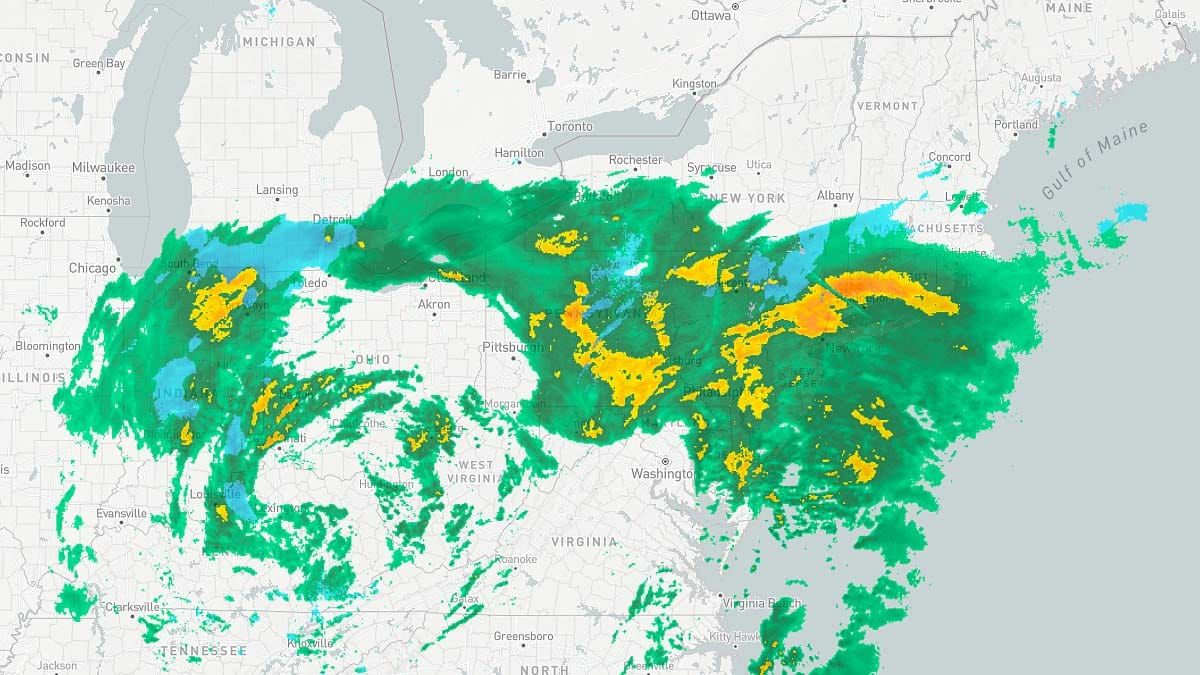
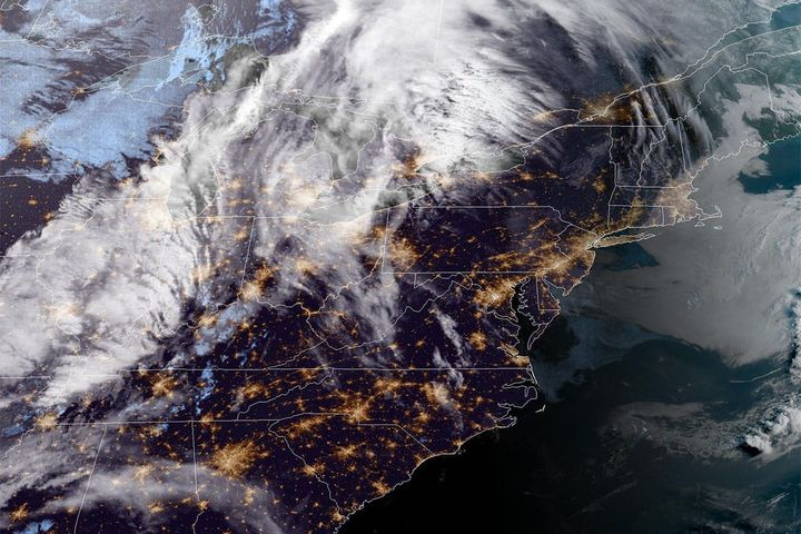
This will be a quick update as it's all about the finer details now. Models have of course shifted some over the last 18 hours and I've updated the snowfall and precipitation type forecasts to reflect the most recent trends. I'll update on the timing once again with a timestamped simulated radar as well as snowfall through 4PM today and then whatever comes after so that you will know what is likely to be there on Monday. Lastly I'll also refresh the snowfall that will impact driving after 4PM today and for Monday morning through 9AM. There are zero wind concerns with this storm though it will be breezy.
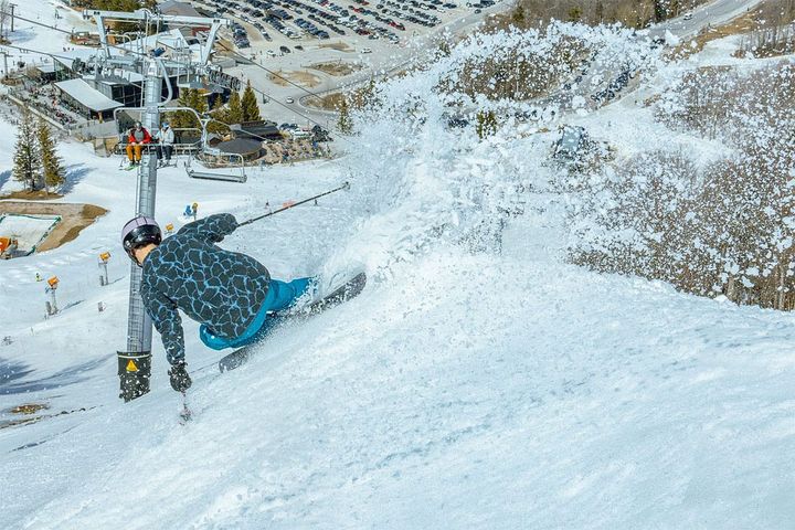
BTW, Magic Mountain already announced opening on Monday for a special powder day. If you have an Indy Pass and want to use it, make your reservations now because they do have limits. If you want an alternative to ski off your pass, then that's what the Snowology Club perk is all about. You can't go wrong at 50% off!
If you are planning on hunting the pow on Monday keep in mind that Snowology subscribers have access to Snowology Club discounts of 50% off a lift ticket. On Monday you can get 50% off at Stratton, Bromley, and Berkshire East right in the heart the snow. Our newest addition Whaleback will be closed Monday, but you can get a second chance of first helpings on Tuesday from 2PM-7PM. So even if you don't have pass coverage you can buy a lift ticket for just $25 to $84 with your Snowology Club discount and put yourself right in the sweet spot of this storm!


