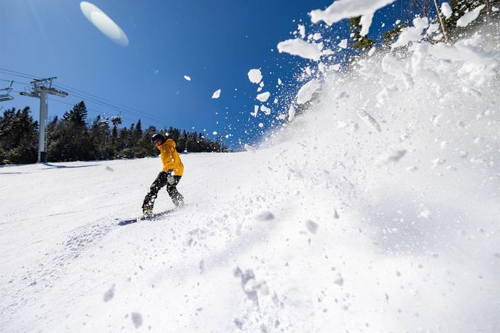
We've got another 1-2 punch of smaller systems that will once again fly off the radar for most but will drop over 6 inches collectively at over 2 dozen ski areas and over a foot of snow at more than a half dozen. It's honestly strange how many don't understand how to hunt storms that don't make the TV news but I guess that's why so many powder hunters love Snowology.
I first talked about this system earlier in the week with a Storm Watch and it's time to start forecasting it. The leading edge will come in starting Sunday evening and it should finish up by open on Monday when southwesterly flow will raise the temps and mank some of the fresh snow up during the day. The second system enters Monday evening and it looks kind of like a slider which can focus snow along a tight path and there should be some upsloping snow also through Tuesday evening, but also lots of wind and the potential for widespread holds. Let's take a look at the broad view from the ECMWF covering Sunday evening through the end of Tuesday.
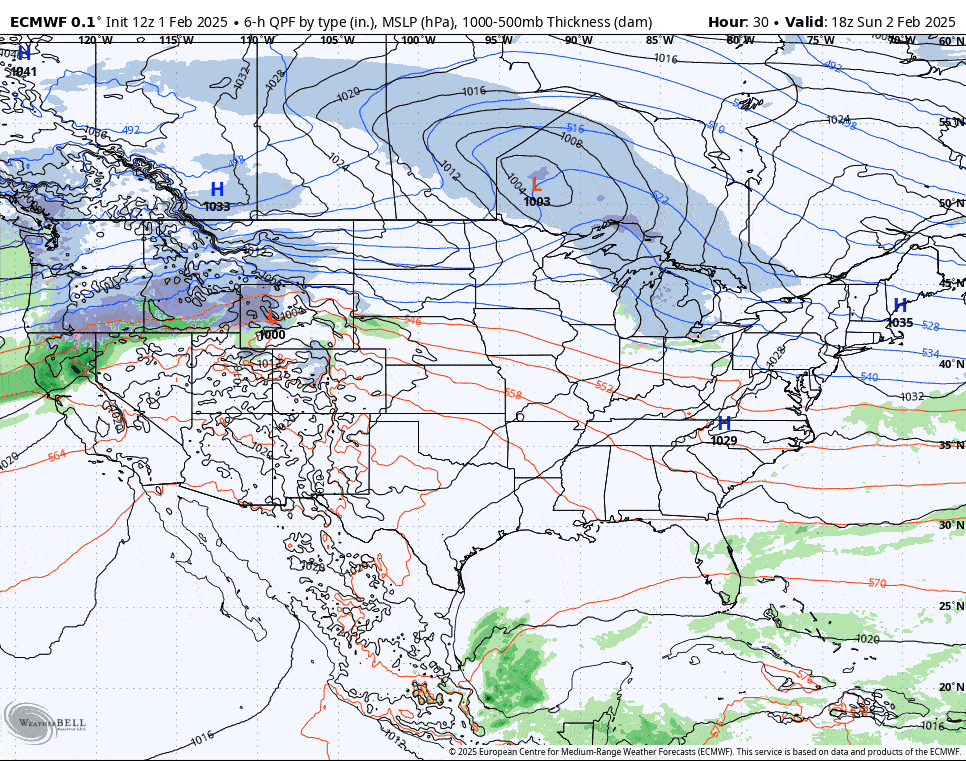
I'm going to jump right into this and cover each of the two systems one at a time focusing on the most important aspects of each.