
We have a quiet week ahead until Friday when some lighter precipitation will start entering the Northeast associated with a cutter well west of us with instability persisting through Sunday. There is a chance of a larger storm on Monday, possibly bad or possibly really good, though there is significant model disagreement about this but that isn't a surprise given the range. I'll dig into that potential below. Temperatures this week will remain fairly consistent and seasonably slightly mild through Thursday afternoon when a warm push will happen ahead of the precipitation leaving most ski areas above freezing during the day through the weekend with some potential of refreezes on Sunday that might mean the difference between hardpack and spring-like conditions this weekend.
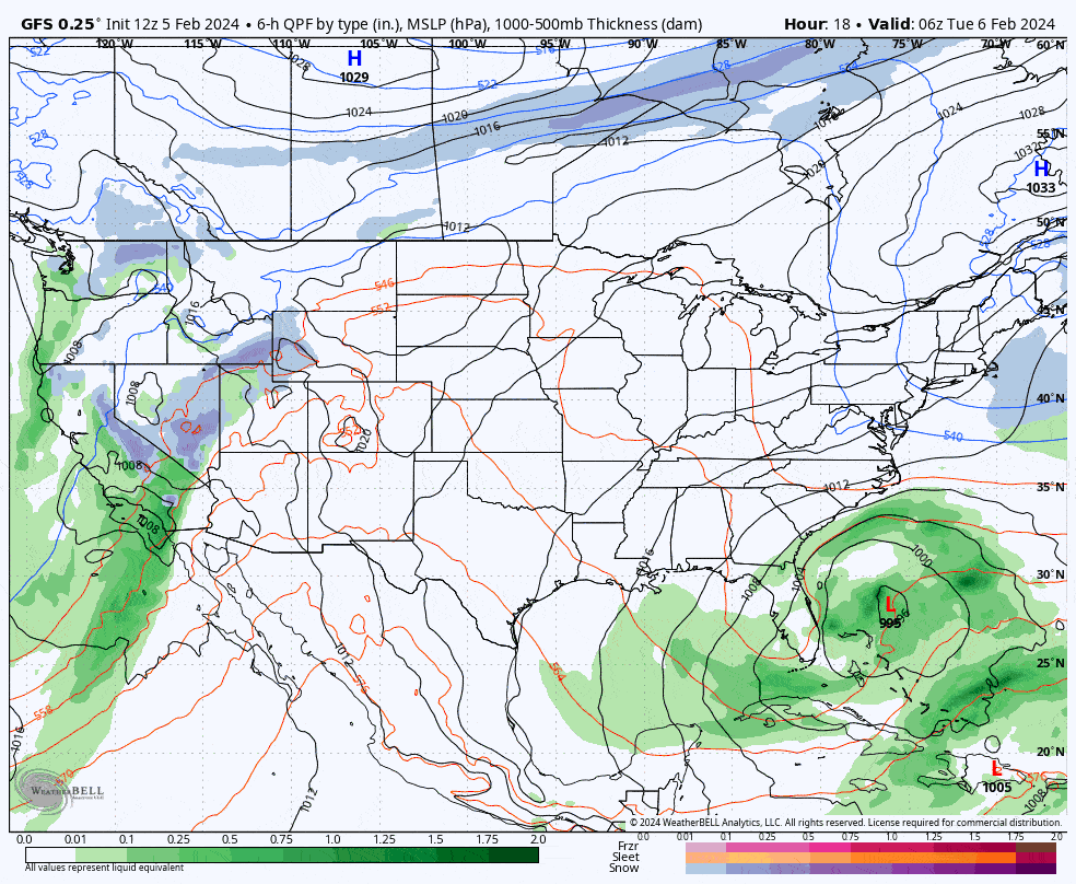
Let's start off with the GFS 6-hour precipitation intensity loop covering Tuesday through the following Monday. This particular model does not see the Monday storm, though the elements are there just not timed right for development in this model, but the ECMWF and GEM both see a very large cutter tracking through Ontario, though that is shifting from run to run.
Starting this week The Week Ahead outlooks will cover Tuesday through Monday. Publishing on weekends is ill timed for our general readership and some prefer to take long weekends so covering the following Monday gives us a full 7 days of outlook. I'll cover the weekly trifecta with a Precipitation Outlook, a Temperature Outlook, and a Wind Outlook, then the Longer-Range Outlook in the bottom of this article looking out to the end of the month. As will generally be the case in these outlooks, the coverage is more condensed for the next week, but I will explore the longer-range from multiple aspects in longer-form.


