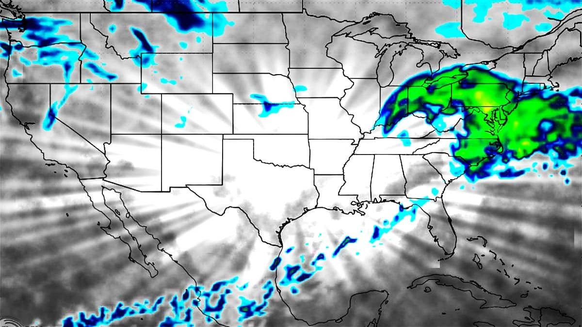
If you are wondering whether or not this still looks like a big storm... yes it does. Not quite as big as on Wednesday, but big still. We're about 4 days out from the start of the storm on Tuesday morning, not quite close enough to lay down some numbers yet but I do have some detailed guidance that I feel is a responsible best guess at this time to get the ball rolling. Models are closer in agreement this morning than they were yesterday, but there is still enough uncertainty in the track and intensity, and we're still 36 hours away from our storm forming in Mexico. Yes, Mexico.
Let's first take a look at the broad view from the GFS showing Saturday through the end of Tuesday to start this off.
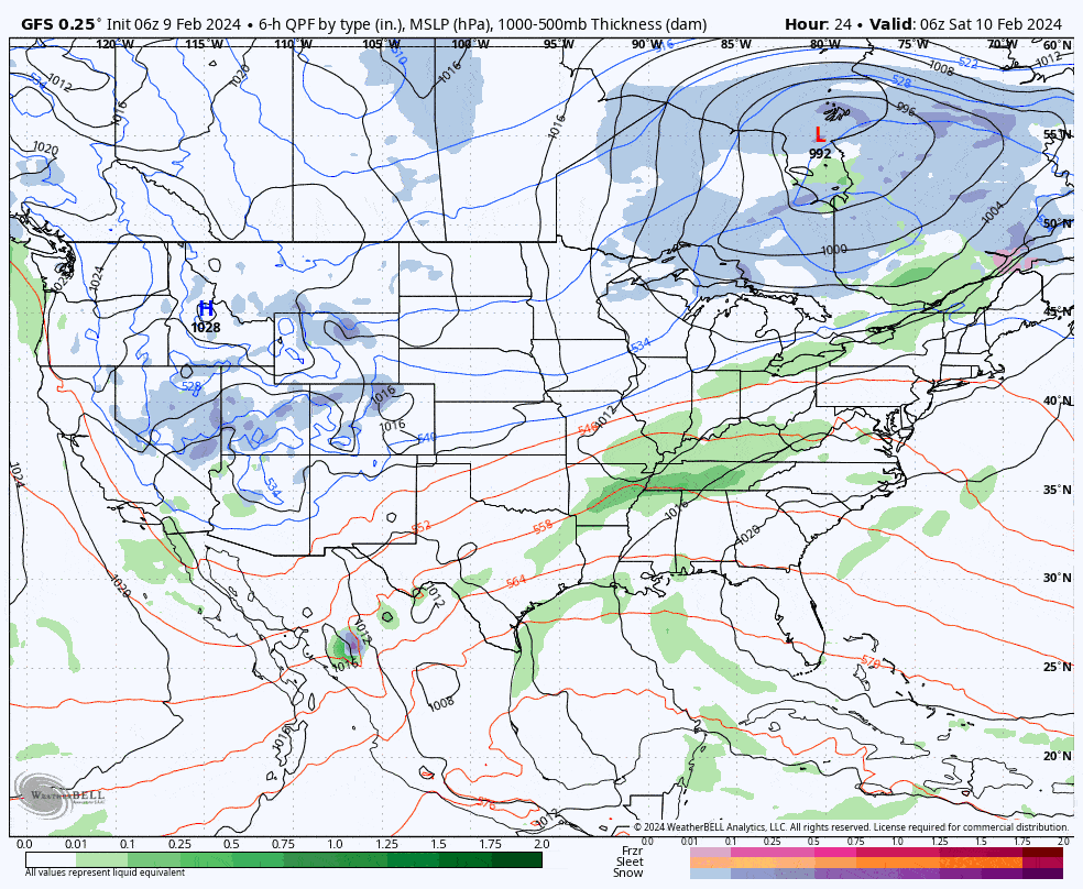
Since this storm is more straightforward than most with fewer moving parts, it's probably reasonable to start the process of trying to dial it in today, but confidence in the guidance will be on the lower side. Things will surely continue to shift, just not likely as notably as in the days before.


