We're about 3 days out from the midpoint of this storm and I've got a snowfall forecast for you all, though it is generally consistent with previous guidance except for a push a bit further north with the snow. Like I have said a couple of times before, this storm has less moving parts to it and that makes it a lot easier to forecast from further out and my confidence is decent at this stage which is abnormal for my first snowfall forecast, though there is surely potential for variability both up and down and I will discuss that also.
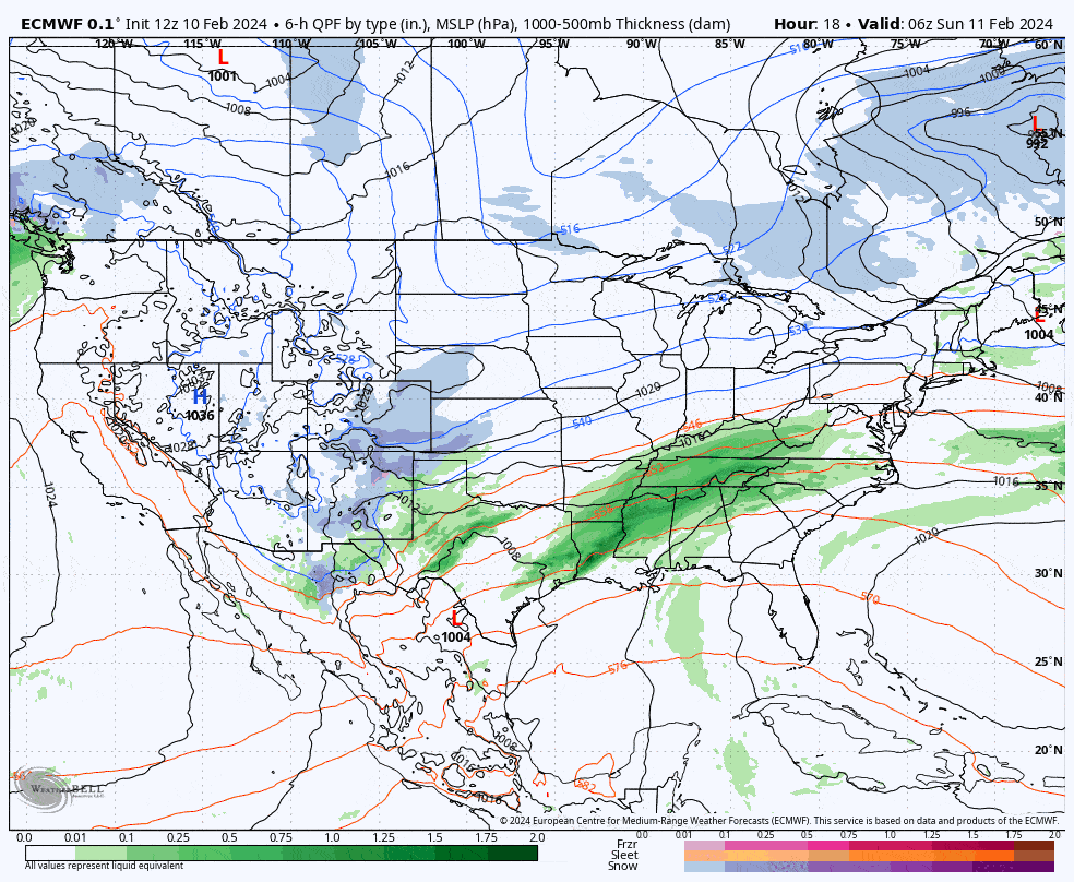
Let's start as always with the broad view, this time from the ECMWF as it seems to be mostly in line with the GFS now, but the ECMWF has better resolution which helps with mesoscale elements and precipitation types.
This update will include the Snowfall Forecast with a discussion of variability, a Wind Issues section, and lastly Timing and Travel coverage.


