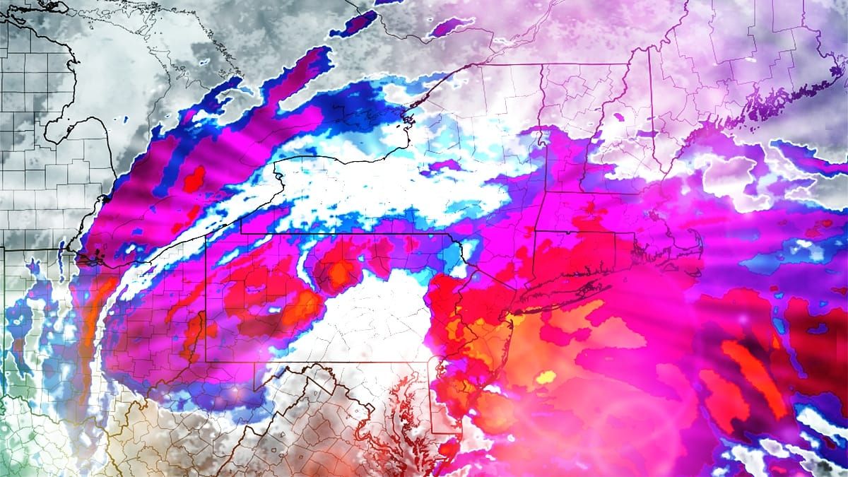
This storm hits in about 30 to 42 hours depending on your location and we're going to dial it in a bit more again. There have been some shifts in the models that have pulled the snow further south and also a little east in general, and there are some very notable adjustments from yesterday especially in Pennsylvania. Let's start off with the broad view from the ECMWF.
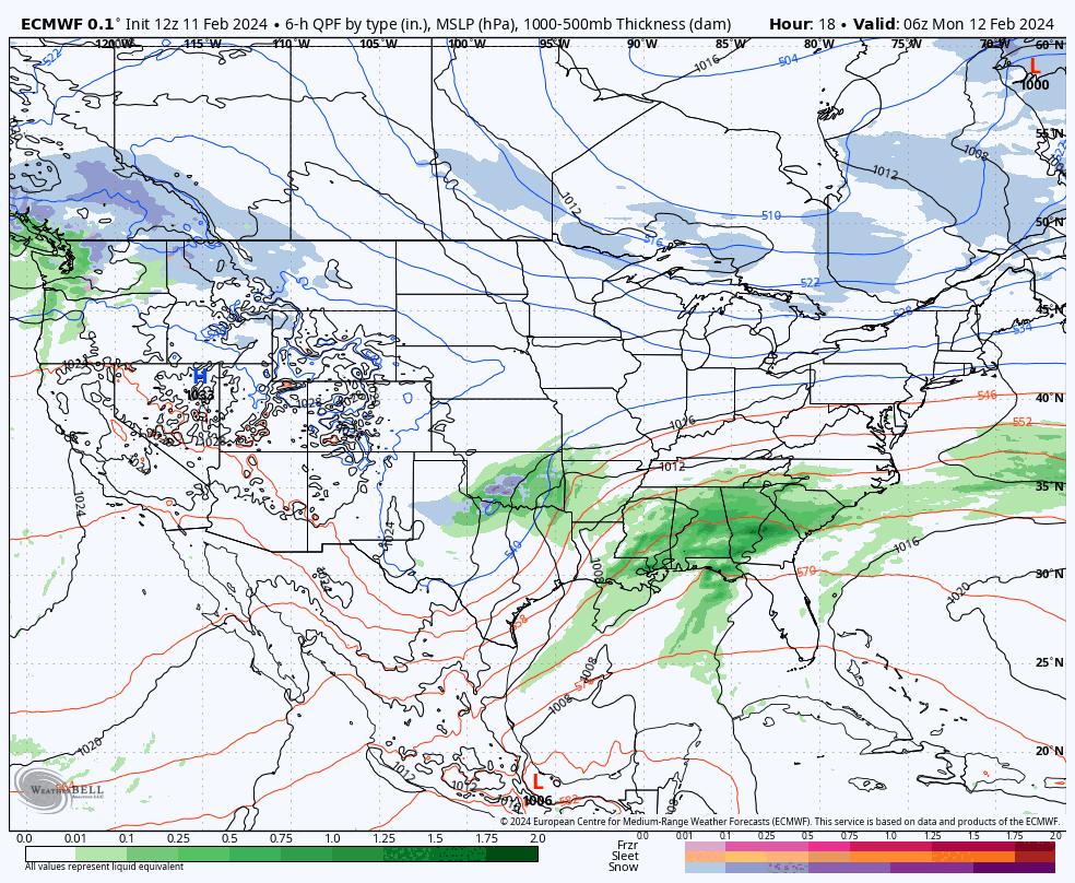
The reason for the shift appears to be primarily due to the surface low forming further in front of the upper level low energy in Texas, and it tracks up the Appalachians and takes an earlier jump into Virgina and then reaches the coast around the Delaware Bay. This has the effect of speeding up the progression and also flattening the storm with snow more concentrated nearer the low. Models have been bouncing around quite a bit in the last 24 hours, but this seems to have pretty good support now as the preferred solution, but I'll update again on Monday afternoon.
I'll start with the Snowfall Forecast first since we all love snow of course, then I'm going to cover Timing and Travel issues to help you know when the snow will get deep on both the slopes and the roads, then I'll give an update on the Wind Forecast covering Tuesday, Wednesday, and Thursday. So let's dig in so that you all can dig out and hit some pow!


