Stick a fork in it folks! This is a short update concerning the Tuesday storm, but the shifts are very notable and this will cause most ski areas to miss the snow and the highest totals will be even lower. Update #5 referenced the possibility of a change, though there was only one model strongly hinting at the shift, the ECMWF, but now there are multiple models very much in line with this shift.
Let me put this bluntly, almost all ski areas will get skunked now. The forecast has been trimmed at all but 4 ski areas nearer the coast, though some tiny bumps and trims have been made for the back-end component.
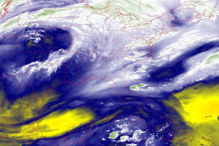
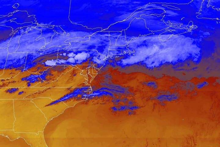
If you are wondering why there has been such an extreme shift in the models, this is due to the approaching low tracking up the east side of the Appalachians rather than the west side. This influences how quickly the storm jumps to the Atlantic and moves east. The storm is also now hitting a bulge in the northern trough boundary which deflects it faster rather than coming up slightly west of the bulge. Once this shift happened and continued on this trend, the storm didn't have a chance. It's in fact a small change downstream with notable results upstream.
This is the latest shift in a storm of this degree to the downside that I have seen in my 6 seasons of forecasting for Snowology, however I do believe that Snowology was among the first to respond to these changes and explain why they were happening with guidance of future shifts being possible. Remember, the storm didn't in fact change, it was just poorly modeled near universally with only small hints for brief periods of this happening across various models, some of them unreliable and possibly only correct for a brief time due to the broken clock rule.


