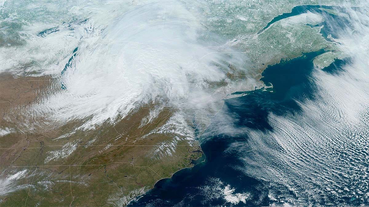
Here's my last and final update on this juicy clipper system that will bring some sleeper pow to a bunch of ski areas over the night and into tomorrow. This is in fact one of three such systems that will impact the Northeast through Monday, and some parts will hardly stop snowing before the end of the holiday weekend! Coverage for the other two storms will be combined and covered starting later today in the Weekend Update.
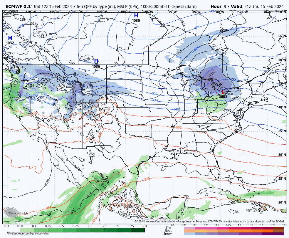
Let's start off with a broad view showing all three systems through Monday from the ECMWF, though coverage in this update will only involve the first system through 4PM on Friday.
I've bumped some of the snowfall amounts and I expect about 16 ski areas across NY, VT, NH, and QC to come in at 6" or more from this system, much of it additive to what fell earlier this week in that overperforming follow-on system Monday night into Tuesday morning which will set this weekend up to ski much more nicely this weekend in many areas. We do have some wind issues and some travel concerns that will be covered. I'll start with the Snowfall Forecast, then Timing and Travel, and then lastly the Wind Hold Forecast. There will be wind holds on Friday!


