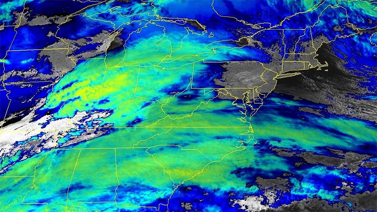
Yesterday I covered the entire weekend in the Weekend Outlook detailing the next two systems that are coming through both tonight with a back end lasting through Saturday evening, and then yet another clipper that will add even more snow on Sunday through Monday. I'm going to continue to update on these systems as one group of Storm Updates starting here. I expect some will report up to 2' of snow between Thursday and Monday, and some might actually receive that much! 😜
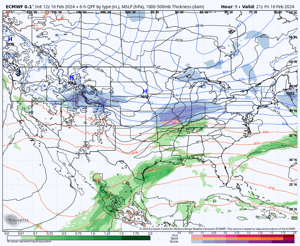
Let's start out with the broad view from the ECMWF covering 4PM Friday through 4PM on Monday.
I have two snowfall forecasts in this update, one from 4PM Friday through 4PM Saturday, and then another one covering 4PM Saturday through 4PM Monday. There's full discussions and an update on timing with a timestamped simulated radar covering the next 24 hours for the southern clipper system, and a non-timestamped simulated radar for the following 24 hours as well. There are wind risks on Monday which I will give an overview for, but we aren't close enough to forecast probabilities yet but a list of potential problem spots will be identified.


