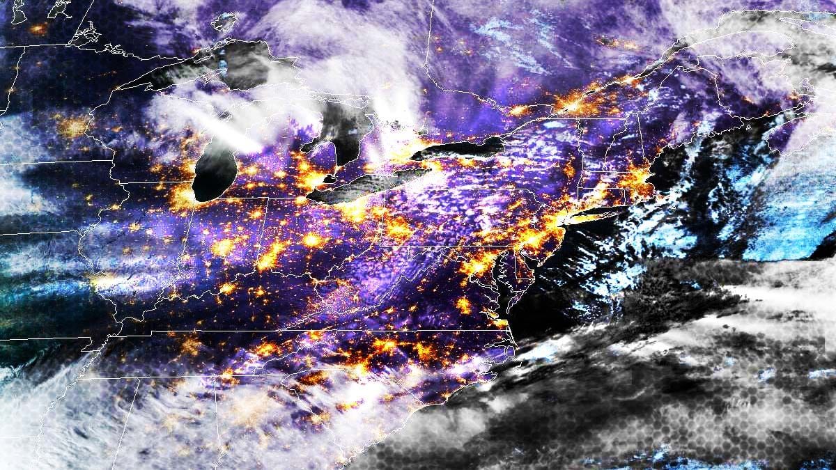
The most exciting part of this series of clippers is over and the snow has already stacked up beyond a foot in about 12 different locations in NY and VT plus the surprise foot at Bear Creek in PA last night! This is just what skiers and the ski industry needed going into this holiday weekend.
We do have more snow coming after a little bit of rest and on Sunday we have some isolated wind issues to contend with, and on Monday as the snow is departing we may have some slightly more widespread wind issues unfortunately. Let's start off with the broad view from the ECMWF showing 4PM Saturday through 4PM on Monday.
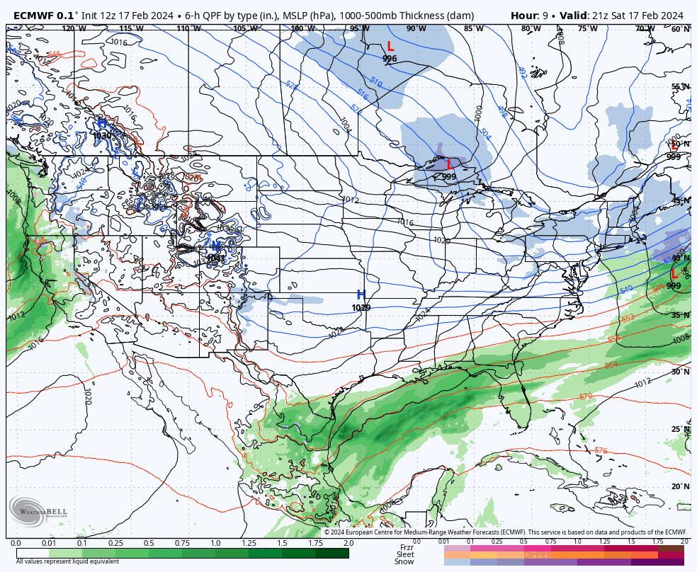
I have an updated snowfall map that covers 4PM Saturday through 4PM on Monday, a Wind Hold Forecast for both Sunday and Monday, and there will be time-stamped simulated radar loops for both days. This update will be fairly brief as we are dialing it in.


