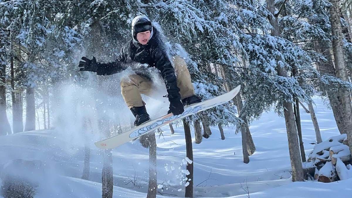
The best snow in the Northeast actually comes quietly, and that's what happened last week with a series of clippers resulting in many reporting 18" to 35" of snow across the last seven days in parts of New York, Vermont, and the Eastern Townships. Even Pennsylvania got in on the action, and elsewhere in the Northeast practically everyone saw snow, even up to a foot of it, but spread out over various days. It was glorious blower pow also, the type of stuff you need at least 18" to keep you off the crust below, but doesn't bog you down. It finally felt like mid-winter in many cases to start off the holiday week.
We have a quiet period ahead of us with two storms on their way starting on Thursday/Friday and then again on Monday. Let's take a look at GFS over the next 7 days to set up the coverage.
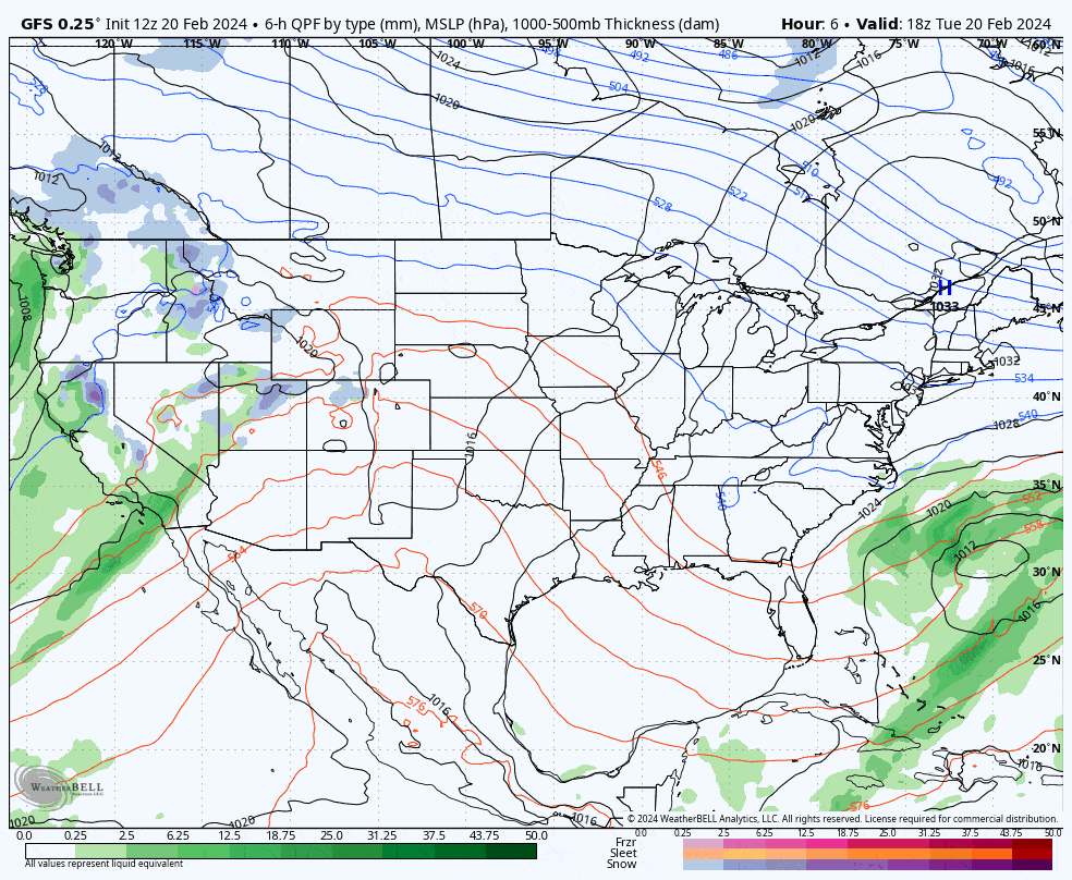
I'll cover the Precipitation Outlook, the Temperature Outlook, the Wind Outlook, and the Long Range Outlook where our first big extended warmup may be just 2 weeks out though temperatures will start cycling increasingly starting next week.


