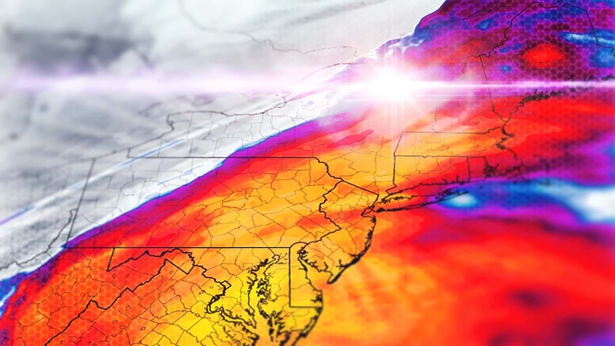
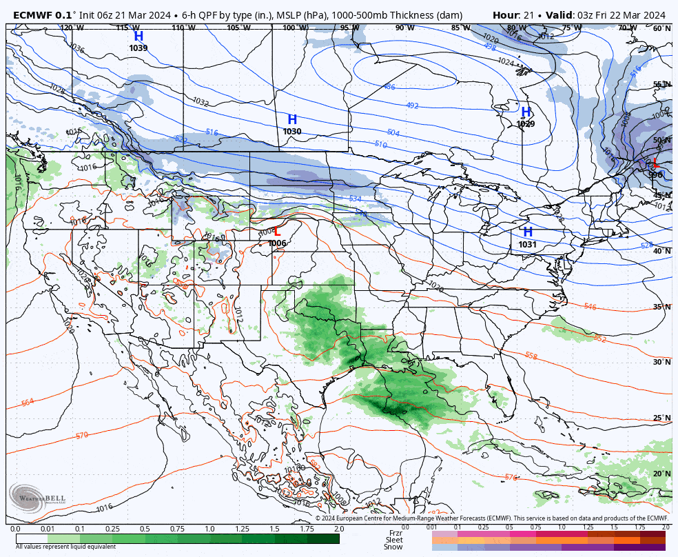
Winter ain't giving up, but it's also not going to make our lives easy as we are going to see a changeover line reach into Northern New York and Northern New England where over a foot of snow should fall to the north of it, and moderate to heavy rain to the south of it with some icing potential on that boundary. Those who win out in this storm will win big and there is pow day potential on both Saturday and Sunday! Let's start with a look at the ECMWF 6-hour precipitation intensity map covering all of Friday through Sunday AM.
I do have our first actual Snowfall Forecast to share complete with the extent of the changeover line mapped out. I have some smaller and more isolated wind concerns for Saturday AM and just very minimal concern for Sunday that I will cover with a Wind Hold Forecast. Lastly I'll share a Travel Forecast that focuses on the Saturday morning and evening commutes where everyone who attempts to reach the deep snow will have to drive through some moderate to heavy snow to get there and back. Getting to your destination Friday evening is recommended!


