So before I get into the details on the weather this weekend I want to address a couple of things, one celebratory, one not so much but still in a way.
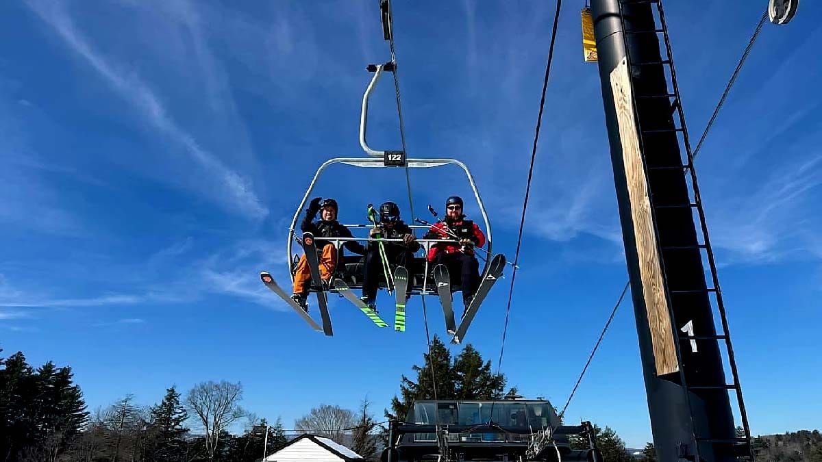
Magic Finishes 4 Year Lift Project: First off, Magic Mountain after 4 years of effort is finally running their Black Quad. This lift was removed from Stratton's Snow Bowl area in the spring of 2018 and was received by Magic in 2020. There have obviously been some ups and downs with this lift, and not the types of ones skiers and riders benefit from in getting to the summit. Magic isn't the world's fastest lift builder to say the least, but you know what, they got the damn thing done which is testament to their perseverance. As a small business owner, I get it, money and time doesn't grow on trees, you do what you can and keep doing it. Magic is scrappy and this lift is really important to them. On those busy days the lines will be way shorter, there's no doubt about that, but more importantly this gives them redundancy to the summit which is critical for ski areas. This is a big deal, and if you want to go and ride this lift on Friday keep in mind that Snowology offers 50% discounts to Magic on Thursdays and Fridays as part of the Snowology Club.
Warm Up Coming: Secondly, this may be the last weekend with mid-winter conditions I'm afraid. It looks like we have 2 notable pushes of warm air starting next Tuesday and Wednesday and then another potentially longer lasting warm up to start March. Winter may well return after a break but it is troubling when you can't see hints of a resolution to to early March warm spell. So my message here is to get what you can this weekend and then clean up your tailgating grill because spring skiing season is going to start about 2 weeks early this year. And listen up snow doomsdayers, we all love mid-winter conditions of course, but spring happens every year and spring skiing is a 1 to 3 month long period that features some of the best times on the mountain with events, festivals, and plenty of friends. If you don't look forward to spring skiing then you are clearly missing out!
Let's kick the weather coverage off with a 4 day loop of the ECMWF showing Friday through Monday.
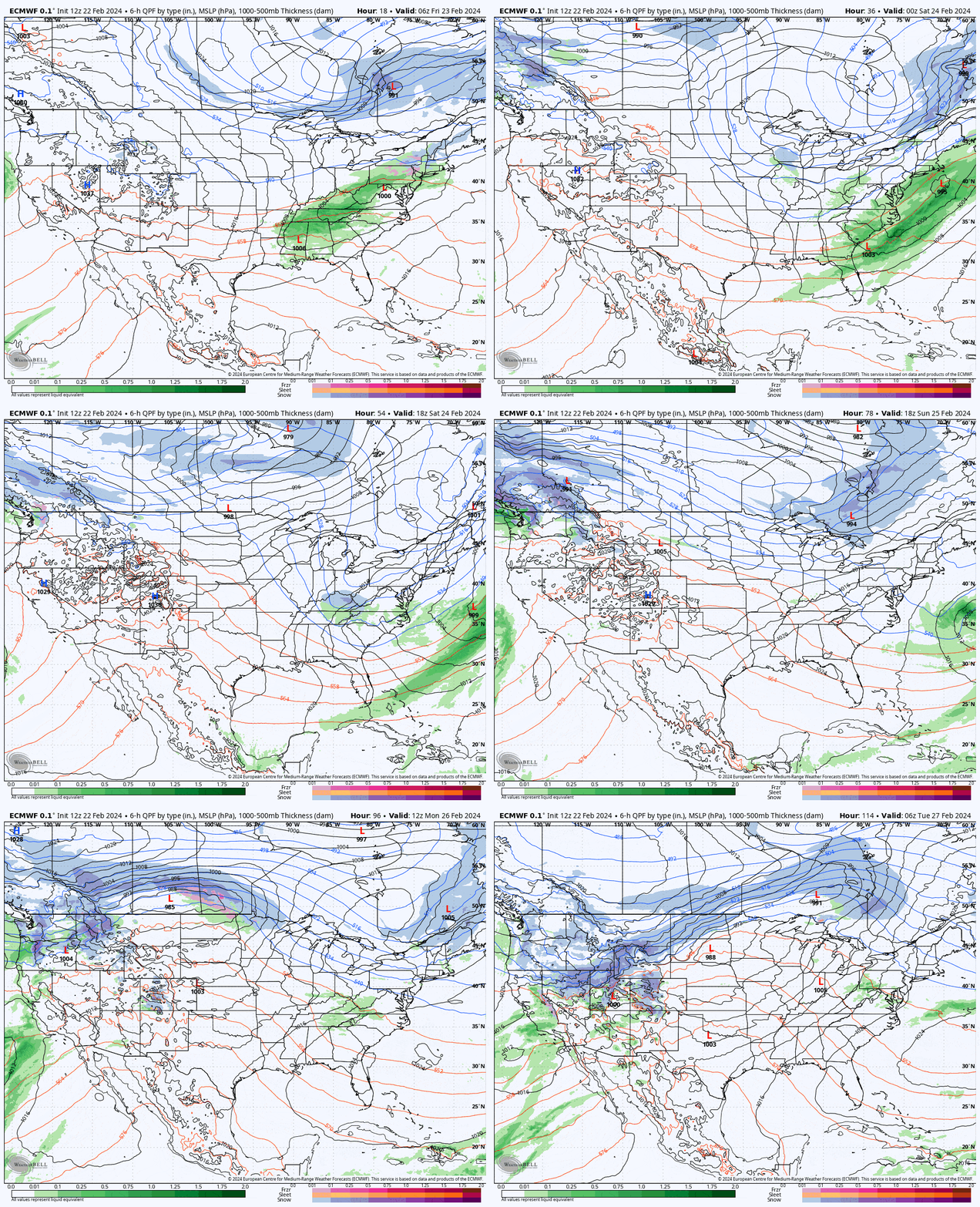
Yeah, not a whole lot going on. I'll cover the current Minor Storm again for Friday free for everyone, and then for subscribers I'll tick through Saturday, Sunday and Monday. The only real notable issue this weekend will be some isolated Saturday AM wind holds and fairly chilly temperatures, and on Monday a little bit more snow and some wind threats look likely.
Friday Minor Storm
This storm seems to be weakening in recent model runs unfortunately so the maximum amount of snow will probably be closer to 4" from this system. People also keep texting me about Jay Peak claiming 10" is forecasted. No, it will be like 2"-3" I'm afraid, and maybe a little mixing to start tonight. I think they are going off of an old overly-optimistic forecast unfortunately. The storm is barely a storm and won't do much. Here's a loop covering 4PM today through 4PM Friday.
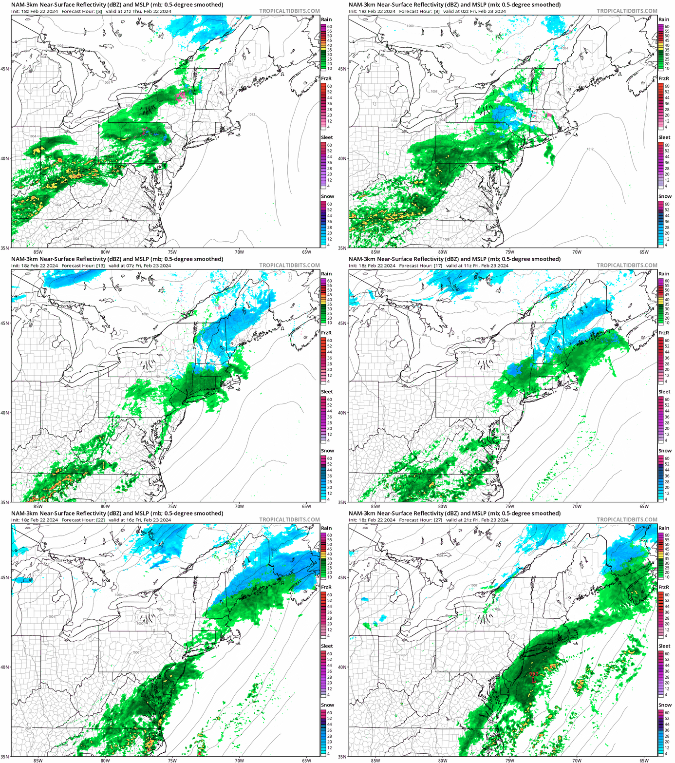
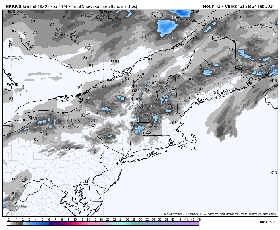
I don't manually forecast snowfall for minor storms, but I will choose models that I believe best represent what I feel will happen at ski areas. This is a downgrade from yesterday, but really only by about 2" as it wasn't looking like much to start with. This is the HRRR model showing kuchera ratios which in this case are lowering the accumulations slightly. 1"-4" is the widespread expectation for ski areas from the Catskills and north.
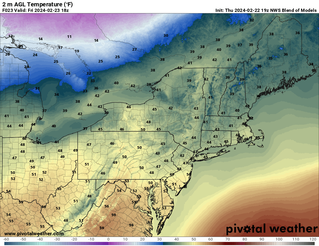
Friday things will also warm up a bit behind the storm with only parts of the Whites and Longfellows remaining below freezing. You will want to watch for sticky snow where snowfall was copious last weekend, that blower pow warmed up is some of the stickiest substances known to man once it reaches 35F. Here are the 1PM temps for Friday.
