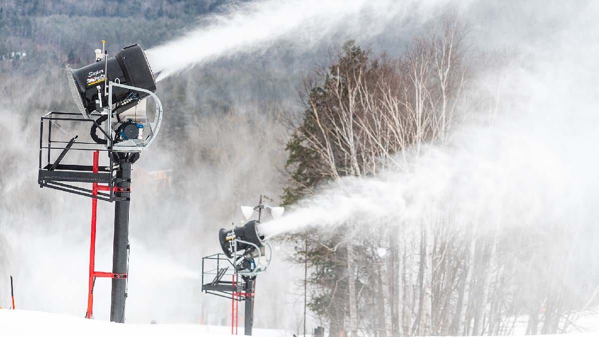
We got a heavy dose of spring earlier this week and then winter came back like a lion last night freezing everyone back up solid in just a few short hours which allowed snowmakers to in many cases to give it one last push to build those base depths and hide the gnar from the flash freeze.
Unfortunately the taste of winter will start to wane on Friday as warm air again starts pushing up from the south, and by Saturday afternoon we will likely have seen our last freezing temps for a full 6 days. This does however mean that the gnar will soften this weekend, and while Saturday unfortunately has some widespread rain that will affect most ski areas during the day, Sunday should become a pretty nice spring day far and wide with base temps reaching from the low 60's in the more southern areas to even the low 40's further north, but it will be cloudy and there will be some morning fog on some mountains that will burn off.
This update will be pretty brief, but it will help you plan appropriately for the weather so that you can make the most out of your weekend. Please consider taking this opportunity to visit an indie while their snowpack and trail counts are still healthy. We will see pretty much every ski area in the Northeast loose terrain before next weekend as a result of the coming warm spell, and that's all the more reason to head to the slopes this weekend. Traffic should also generally be light and the slopes should generally be uncrowded.