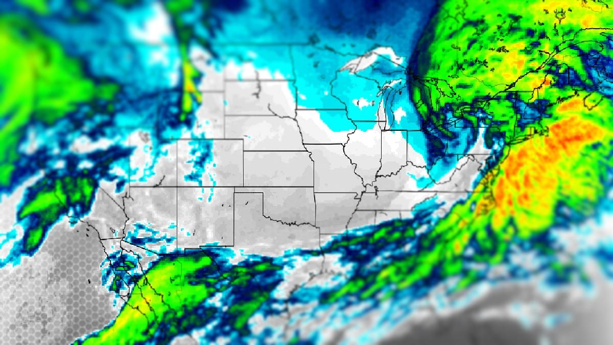
We're in the middle of a week that is probably the most anomalously warm since the start of the ski season and yet we're getting a snowstorm starting Sunday. How much snow? Well, right now it looks like snowfall could top out above 18" with many areas potentially receiving a foot or more BUT we're still 4 days out though from the start of the snow so things may change of course. This is a complex system with three pieces of energy and that gives me pause, however the major models have been pretty damn consistent and that gives me hope. Here's what the ECMWF currently sees for Friday through Tuesday.
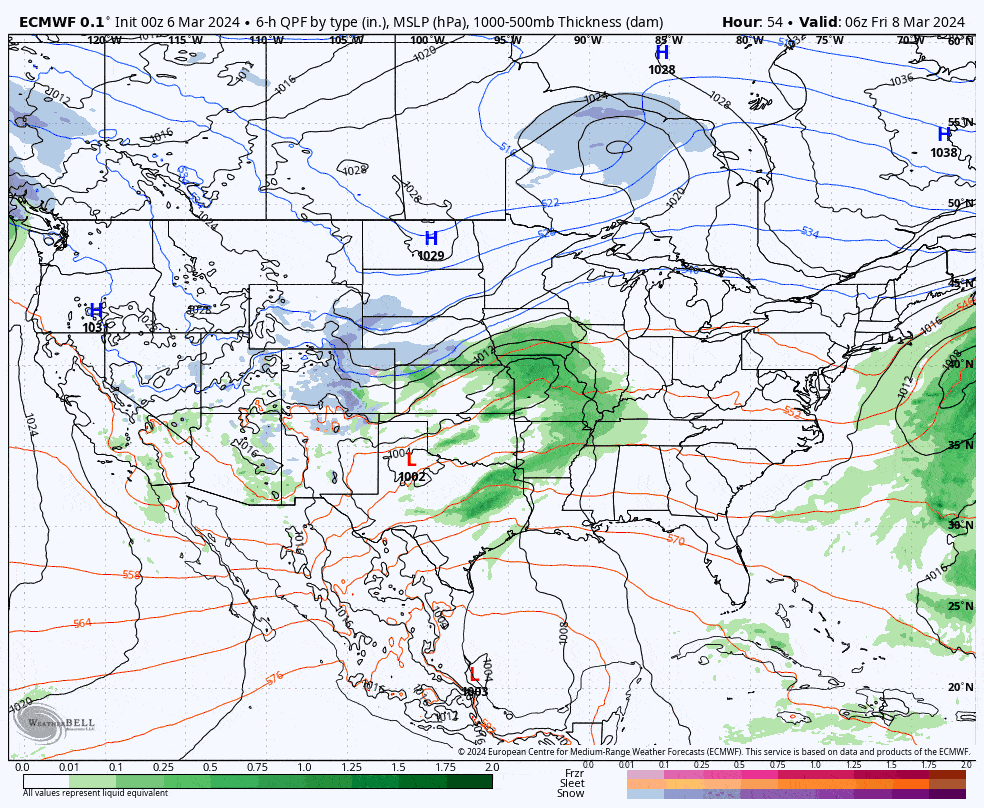
Assuming that current modeling is roughly accurate, we're going to see the front end of the storm on Sunday, and then a back-end that lasts through some time on Tuesday. Snow will stack up at different times in different places. There will likely be some wind issues on Sunday and Monday. I'm going to cover this all starting with an overview of the track and intensity of this complex and possibly long-lasting storm.


