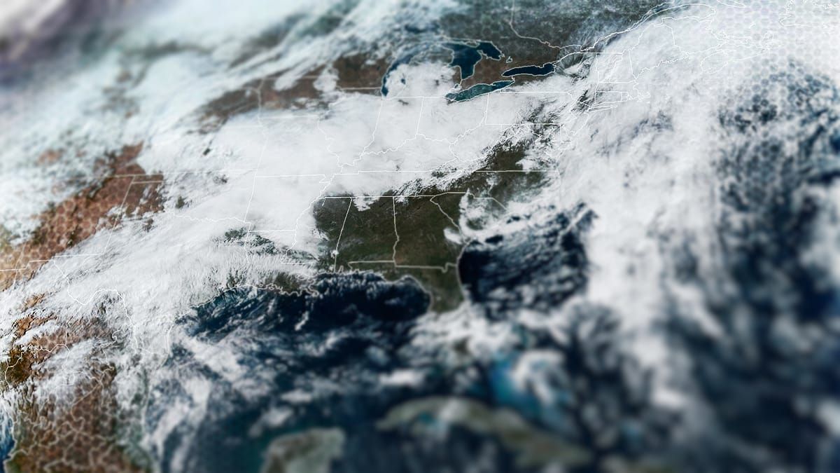
We're going to start dialing this in and forecasting both snowfall and wind hold potential in this update. There's a lot to cover so let's dig in now. Here's what this storm looks like from Saturday through Tuesday from the latest run of the ECMWF.
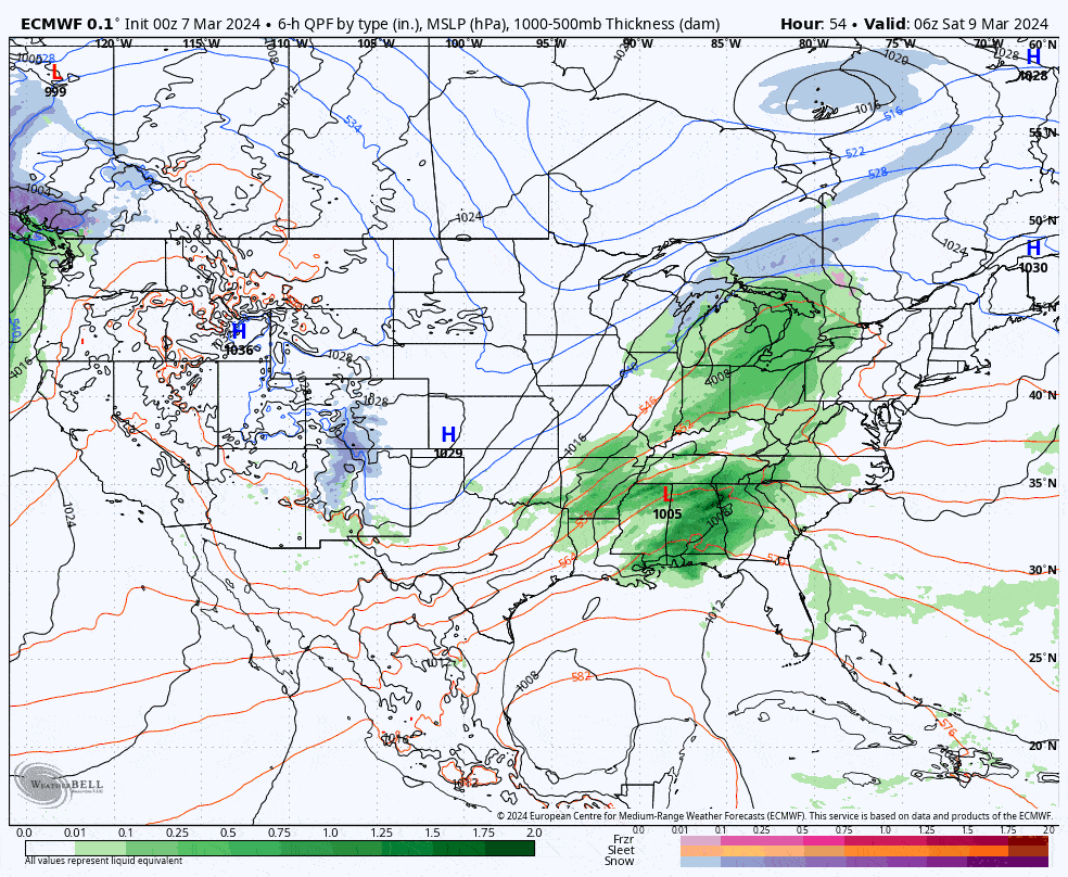
There have been some subtle yet impactful shifts to the deterministic models, though given the distance to impacts these shifts are pretty small. I'll cover the Synoptic Details of the storm with a fair amount of detail, then the Snowfall Outlook with a forecast for the Sunday ski day as well as the full storm, a Wind Outlook with forecasts for both Sunday and Monday, and some Ski Commute Forecast for Sunday. We're not perfectly dialed in yet of course as the storm is 3 days away from the start of the snow and 5 days away from the likely conclusion of the back-end.


