I think we've managed to convert a few more believers. Spring storms are the best because they don't get nearly as packed as the mid-winter ones. This one will bring gifts all the way to open on Tuesday as well, but I'm afraid we're going to see wind holds in parts of the region on Saturday, Sunday, and Monday (probably some isolated issues on Tuesday as well). Some love us just for our wind hold forecasts and for good reason, but keep in mind we've got a steady hand with the snow and generally lead all other sources in giving you a full view of approaching storms so that you can plan ahead! For those who just subscribed or are thinking of doing so let me remind you that subscriptions last 12 full months and they also come with access to our Snowology Club discounts, not just this season, but also next season!
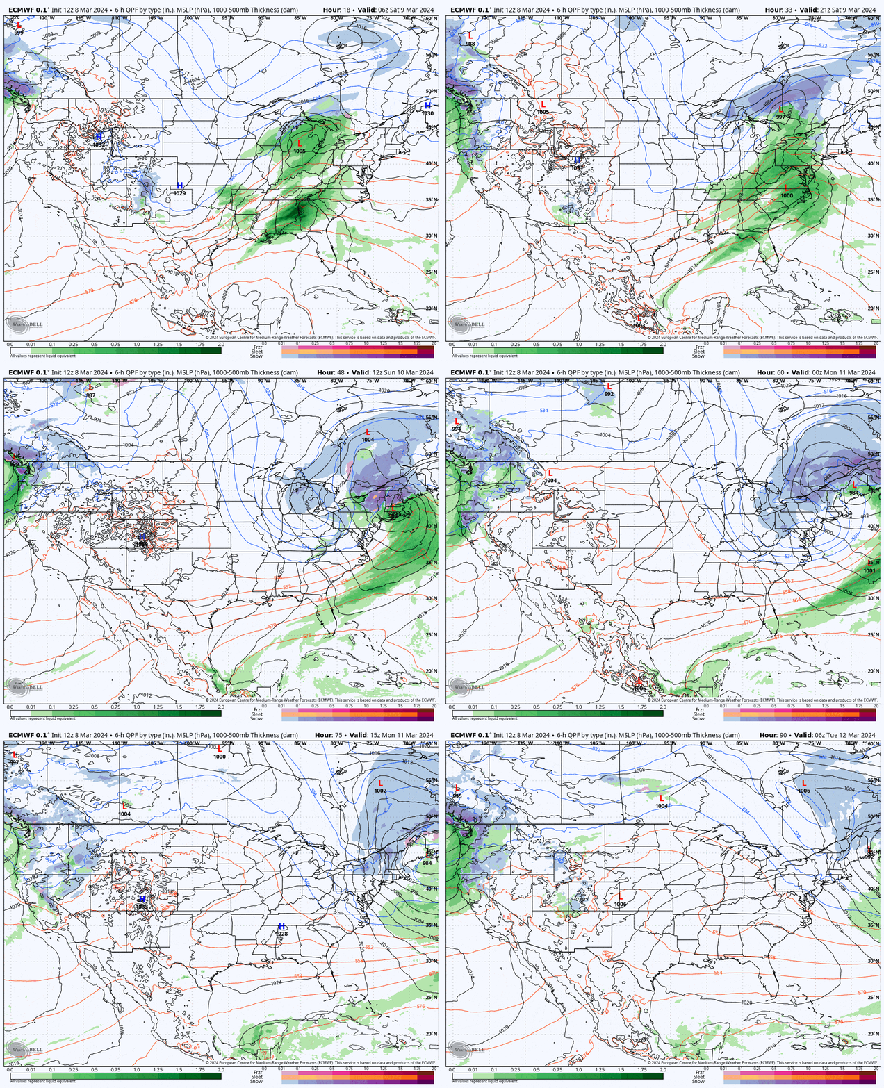
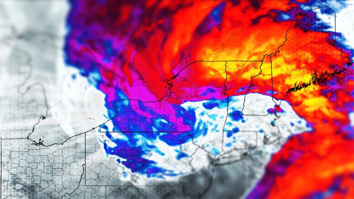
So here's the latest ECMWF precipitation intensity map showing Saturday through Monday to start things off.

I'm going to start off with the Saturday Forecast and cover some precipitation, wind, and temperature concerns for the region. I'll then switch focus to the snowy part of the storm and cover the Snow Forecast, the Wind Forecast, and lastly the Travel Forecast as there were will be some notable difficulties on Sunday morning. Coverage becomes more deterministic as we get closer to impacts so the text will mostly be specific to timing and variability. There will be another update on Saturday.
You should pay careful attention to more than just the snow here because you will need to navigate around the wind on all three days covered! A foot of pow is no good if there is no or limited lift access! You also don't want to be driving in whiteouts because even your ego can't see in such conditions. Today's forecasts have primarily bumped both snow totals and wind hold probabilities. If you have questions that aren't obvious from the forecasts, subscribers can ask them at the bottom of these articles!


