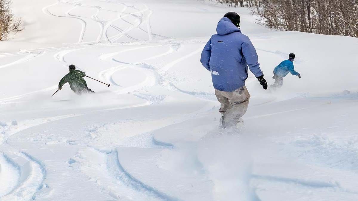
We hit the jackpot! Just one week ago the entire East Coast was melting hard and the disbelief in a major snowstorm was palatable, but today there are at least a dozen ski areas who are buried in at least 18" of snow, and some over 2 feet! Well, that's March for you! Get it fast though because we are going to see some melting again and unfortunately that fresh powder is going to get sticky when it does. That's also March for you!
The next 7 days will see two systems, one with marginal temps that will bring both rain and snow, and the other a monster clipper that will usher in the pattern change that we've been talking about for more than 2 weeks which should bring cooler temperatures and hopefully preserve the snow for those who can keep the season going. There is a small chance of that second storm helping to spin up a coastal low, but ensembles presently suggest just a small chance of that. Let's take a look at the next 7 days from the ECMWF.
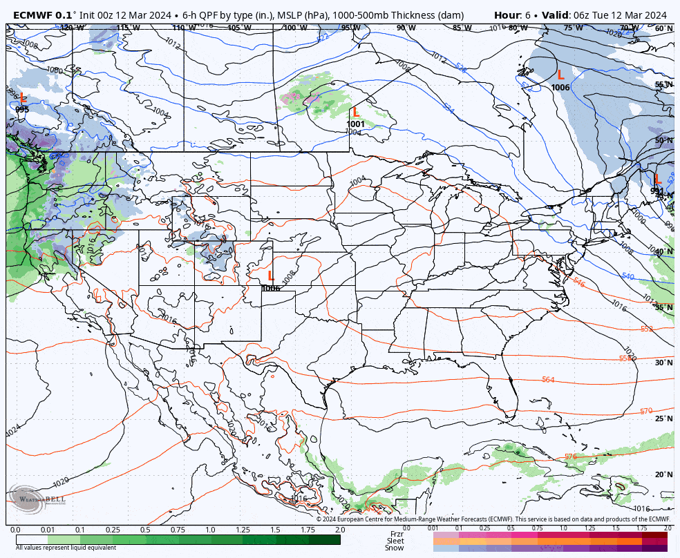
I'll cover the Precipitation Outlook, the Temperature Outlook, the Wind Outlook, and then the Extended Range Outlook. For those still with doubts about the ski season being over, it sure as hell isn't, and spring skiing and riding is a fantastic time when that eventually takes hold and there are about 11 more weeks of lift-serviced skiing and riding to go still!


