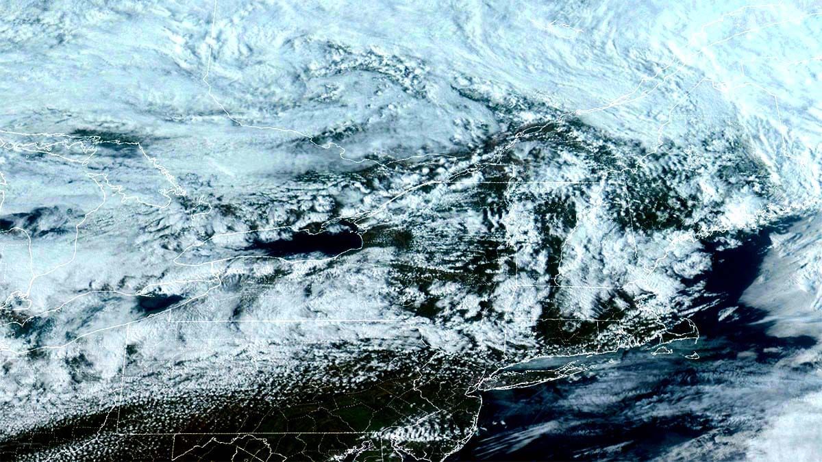
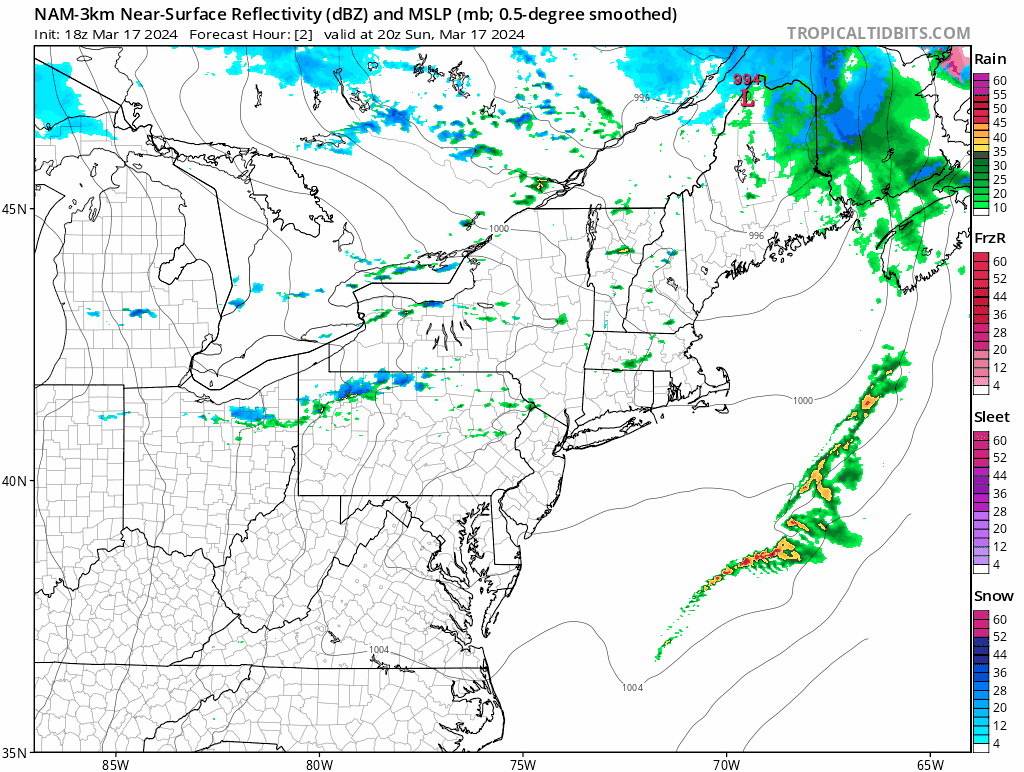
The best storms are the ones that happen in March and never get attention on TV because the snow is focused primarily on the mountains. In the last three days we've seen 6"-12" fall at more than 10 different ski areas and the back-end of this system will add to that. We may well see 7 day totals reach upwards of 20"-30" in spots by Friday. Really! Let's start off with the simulated radar between 4PM Sunday and 4PM Tuesday.
For all of those who thought this season was bad, remember it's always better when you go to the snow instead of waiting for it to come to you, and SNOWOLOGY will show you the way! Seriously, bad weather just means maybe you have to work for it a little harder because good snow is almost always somewhere, just different places at different times. For all of those who thought the season was over at the start of March... TF it ain't! This system that I'm covering in this update is one of two systems during the week that we'll be tracking, and while I still believe there's only about a 25% chance of a larger more widespread storm next weekend and I'll cover both in Monday's The Week Ahead update.


