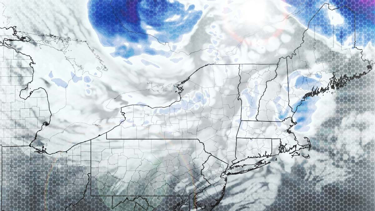
We have another clipper on tap that is already firing up across NY and PA with some convective squalls that should bring over 8 more inches of snow to parts of the region by the end of Thursday, but also some notable wind issues both Thursday and Friday. Let's start off though with a recap of part 1 of this sleeper cycle through 4PM today with our final forecast and then reported snow totals, 5 of which were for a foot or more of snow since 4PM on Sunday!
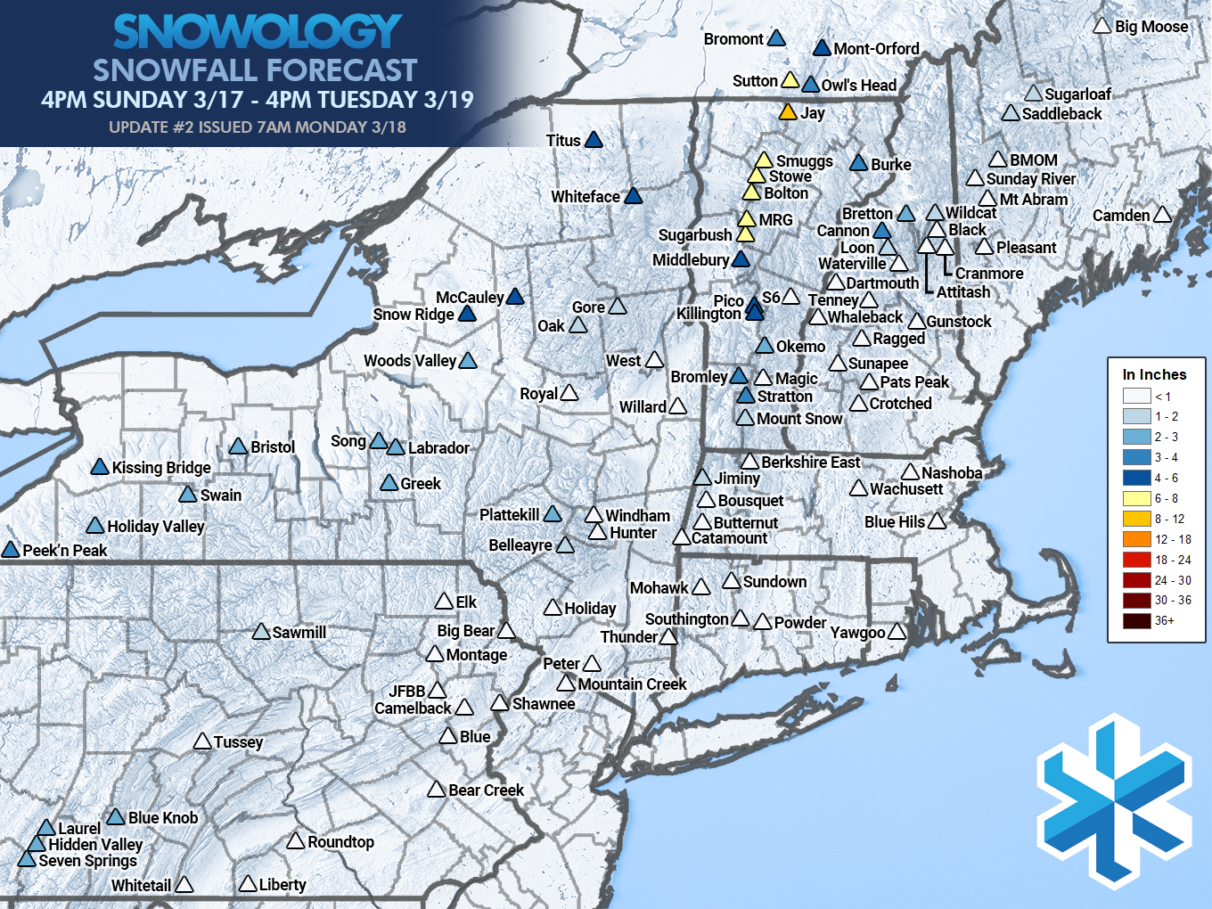
• Whiteface: 1" (more on summit)
• Holiday Valley: 4"
• Bristol: 1"
• Greek Peak: 1"
• Jay Peak: 13"
• Smugglers' Notch: 12"
• Stowe: 13"
• Bolton Valley: 13"
• Burke: 2"
• Mad River Glen: 12"
• Sugarbush: 8"
• Killington: 8"
• Pico: 8"
• Okemo: 0"
• Bromley: 4"
• Stratton: 4"
• Mount Snow: 2"
• Cannon: 6"
• Bretton Woods: 3"
• Loon: 4"
• Wildcat: 1"
• Waterville Valley: 2"
• Sutton: 8"
• Mont Orford: 5"
• Bromont: 3"
• Owl's Head: 4"
Below is the simulated radar covering this next system from 4PM Tuesday through 4PM on Thursday.
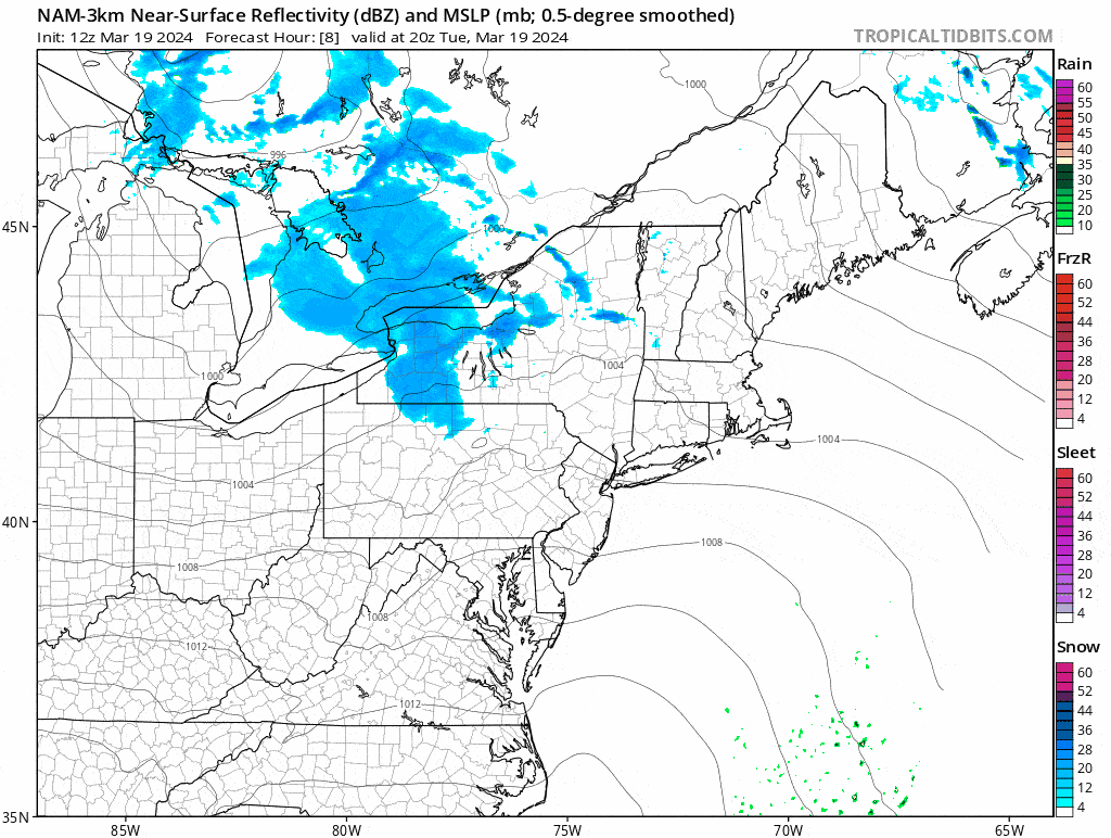
I'm going to speed through this update and cover the Snowfall Forecast through 4PM Thursday and then the Wind Hold Forecast for both Thursday and Friday. Note, Thursday will have some fairly widespread wind issues.


