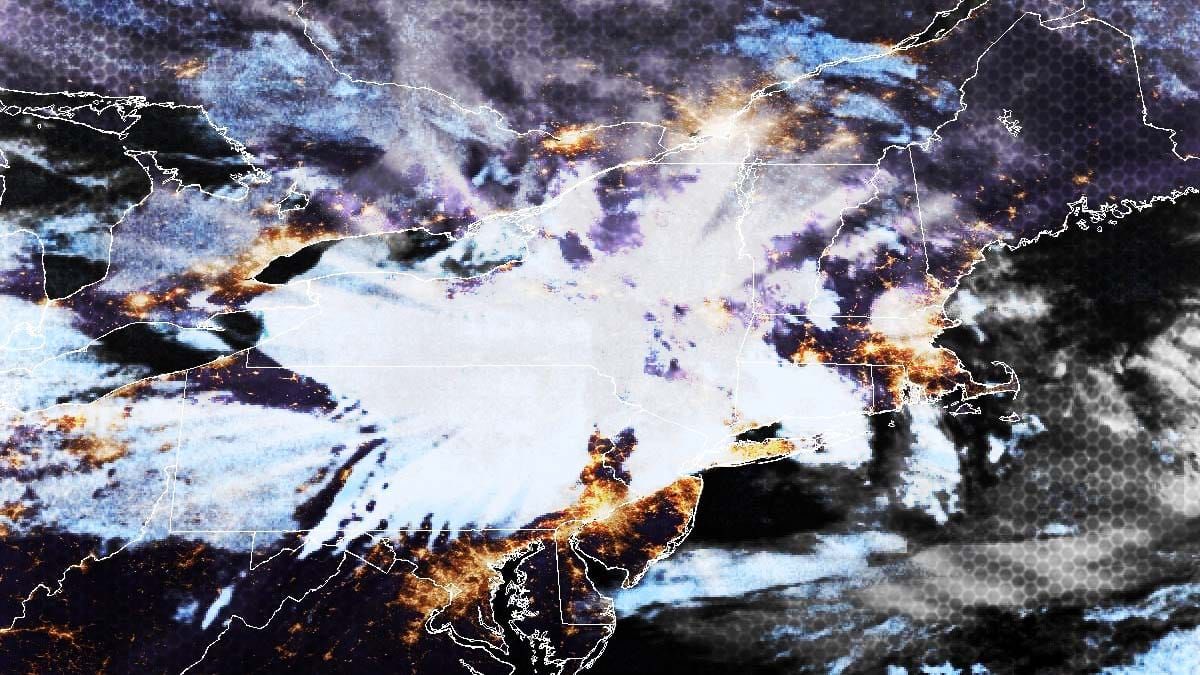
We had some model disagreement yesterday regarding the development of a coastal low with this storm and we now have strong agreement that a mesolow will form in NY, move across New England, and intensity and grow as it travels east. There is still some uncertainty as to when and if the storm will take a left turn to the north and that may matter for the snowfall in Maine. Here's the latest simulated radar covering 8AM this morning through 4PM on Thursday.
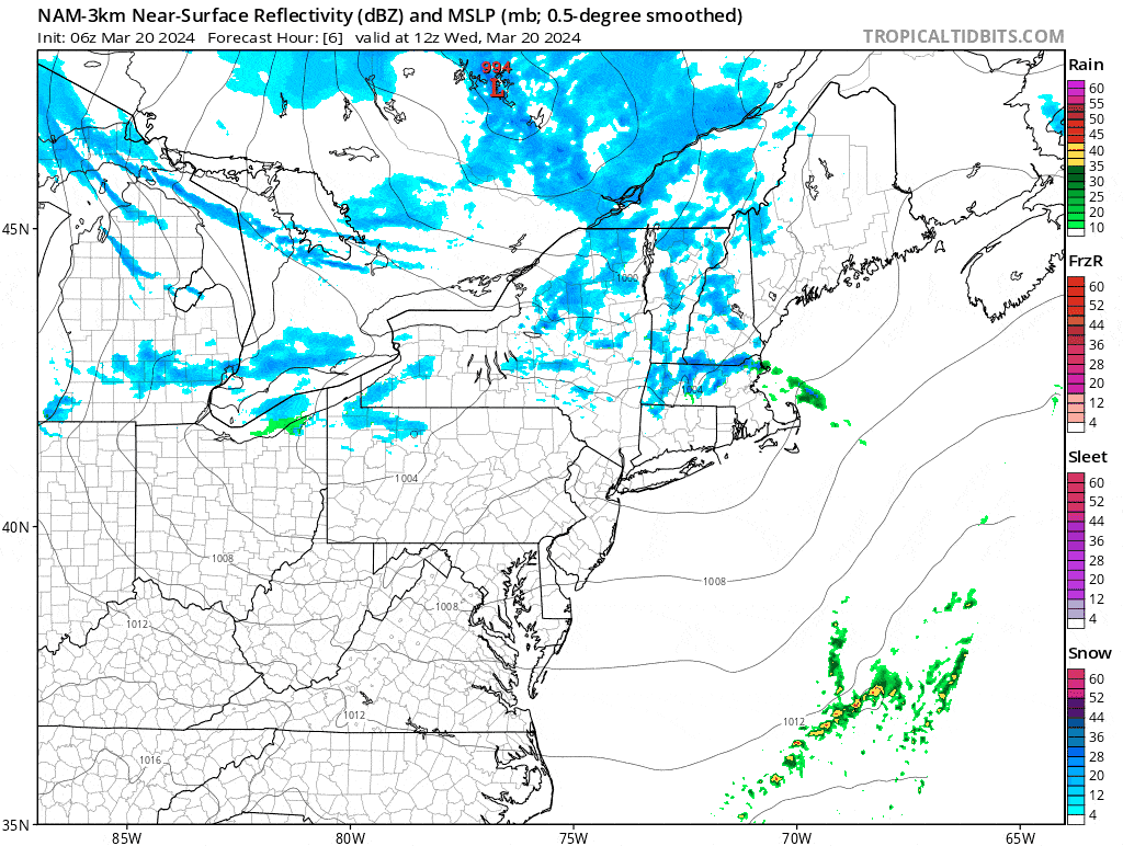
I've made some adjustments to the Snowfall Forecast, namely to account for the focused heavy snow from the mesolow which will lessen the snow Thursday in northern areas while adding snow primarily to S-VT, S-NH, and ME. I have also reviewed and updated the Wind Hold Forecast for Thursday and Friday and will provide a bit more detail on timing. I also have a Sticky Pow Alert for today (sorry for being a little late on this).


