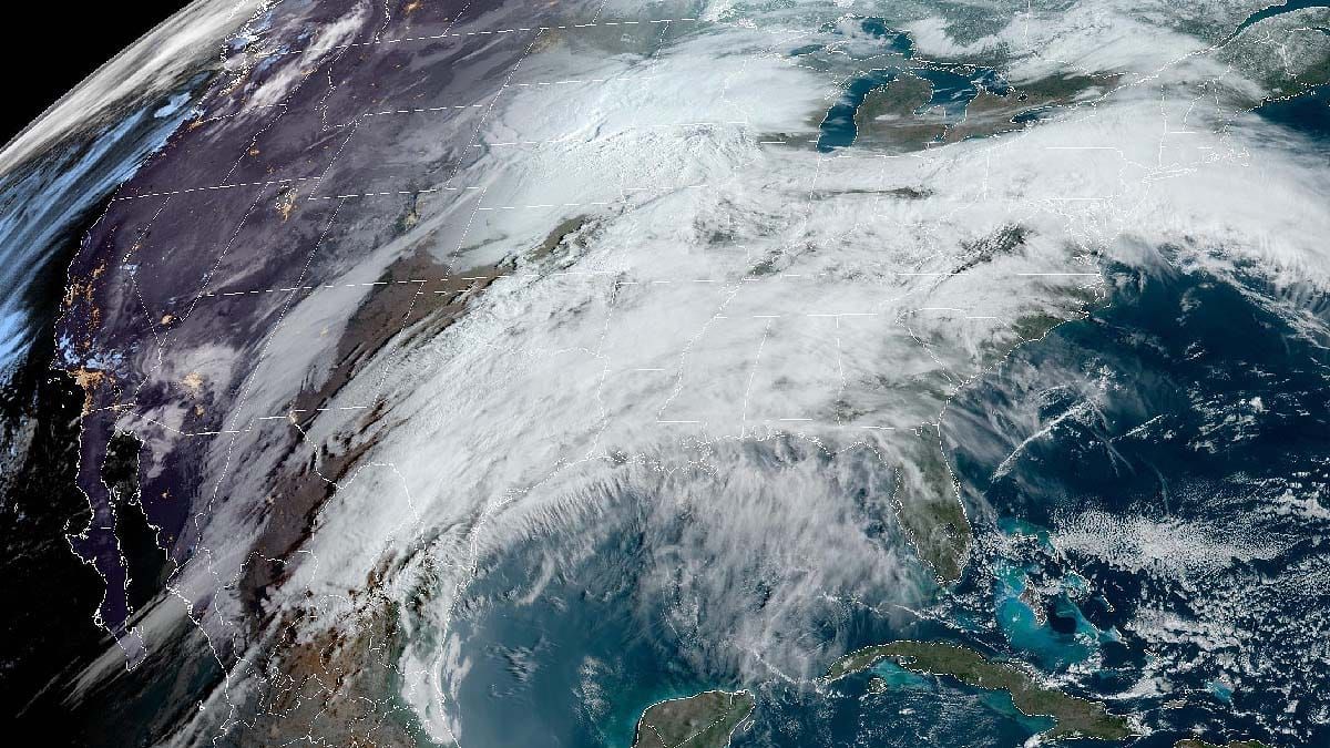
It's April 1st and you know what that means! Another storm update! Sorry to disappoint some of you all but it's still going to snow and snow big! I've again extended the forecast period through Saturday this time because there is now good agreement that the back-end snow will last through Saturday so we might as well accommodate that as it's often an important part of a storm to the areas furthest north.
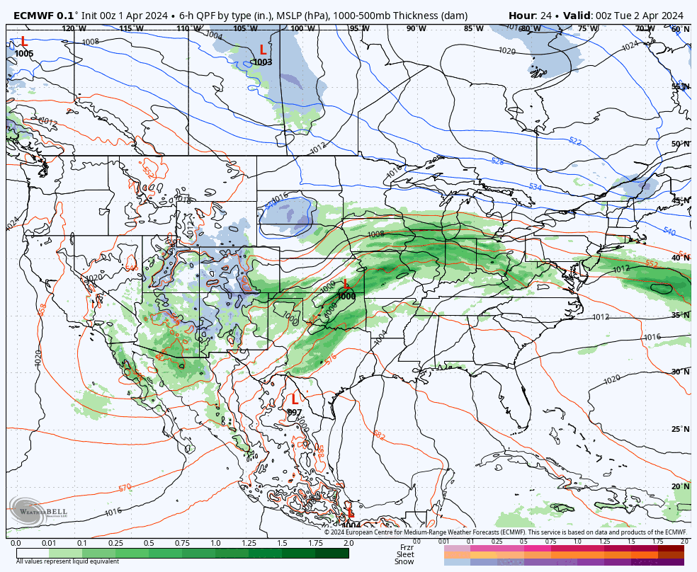
In the last 24 hours we've seen some shifts of course. The most notable one is that the transfer of energy from the inland low over the Great Lakes to the secondary low that forms in the Atlantic near NYC is going to happen more slowly and that means three things:
- It will probably be a little warmer at the very start of the storm.
- There will be a little less precipitation overall.
- The storm might not get its own Wikipedia page.
This isn't a big deal though because I did forecast the storm slightly conservatively yesterday due to the very long time frame that was being covered and most of the impactful shifts are to ski areas that are closed for the season. So whether a ski area looked like 26" of snow yesterday and now only looks like 20" on top of a half inch of ice and sleet, it's of practically zero consequence and all of that water will be part of the snowpack, ski just as good, and last just as long. So with that here's the broad view of the storm from this morning's ECMWF covering Tuesday through Saturday to set things up.
This might be it folks, the big storm season could be over after this one, though we have seen a couple of recent mid-April storms and there should be a decent handful of ski areas open through the 21st. This storm though feels almost like having a second dessert after a glorious March, but there's nothing wrong with pow gluttony.
I'm going to cover the Snowfall Forecast first and then I will cover Snowfall By Day, and Wind By Day in fairly rapid fashion. We will have some severe wind holds on both Wednesday and Thursday. I'll cover travel issues in another post later today, but starting probably Wednesday morning we'll see sleet near the mountains and by Wednesday afternoon we'll see snow and sleet across the Northeast along with some pretty severe wind. If you want to ski on Thursday, you probably want to beat that rather than taking your chances Thursday morning. So take your underwear out of the freezer, put your snow tires back on, and pack up that car so that you can hit this storm!


