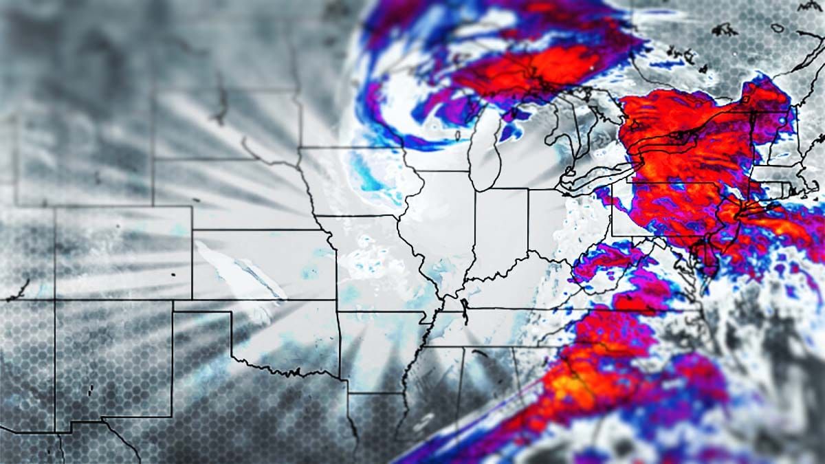
This is going to be a big one folks! Mother Nature is extending our season, filling our natural terrain with the goods, and bringing hoots, hollers, and smiles to us skiers and riders! Snow and sleet starts Wednesday morning in earnest and will last through Saturday evening. There's nothing better than a storm that stalls out in the Gulf of Maine. There will be enormous travel issues Wednesday and Thursday, and also extreme winds which will ground many operations to a halt at times. This will be extremely hard to hunt until Friday, but I'll try to show you the way if you are intent on getting out earlier. For the weekenders I expect few wind issues and more than enough snow regardless of your destination, but everyone will see some sticky pow at least by Sunday afternoon and maybe some sprinkles at lower elevations. Future updates will dig into the weekend.
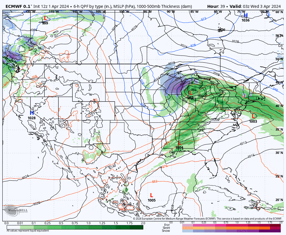
Since yesterday we've seen a cold shift in the modeling. That means shifting the sleet further south for the start of the storm, and of course more snow from where it shifted. The warm shift yesterday was due to the primary inland low transferring energy more slowly to the coast as a result of it drifting west, but it's drifted even further west in the modeling today which will now allow the coastal low to take over faster and bring the cold air down faster as well. It is a little more dry again but with less sleet it evens out and I didn't trim anyone, rather I bumped! There's even a 30"-36" range now on our forecast! Here's the latest ECMWF showing Wednesday through Saturday to get the ball rolling.
I'll start off with the Snowfall Forecast which will include a break down by day. Then I'll cover the Wind Hold Forecast where I'll cover Thursday in more detail as we are likely to see lots of holds at open with many lasting for most or all of the day. I'll then cover my Top Picks for Thursday pow hunting. Buckle up snow friend, this will be interesting!


