It's been a rough start to the very early season with limited snowmaking and lots of delayed openings. Last week the season finally started in earnest with 6 ski areas operating in the East; Killington, Sunday River, Sommet Saint-Sauveur, Whiteface, Gore, Belleayre, and Bretton Woods, and only the first three will be operating Monday through Thursday before we see some start to return for the following weekend. I'm afraid that snowmaking will be virtually non-existent this week...except for what Mother Nature can produce so let's hope she delivers.
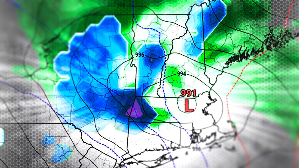
We have a 3 to 4 day storm in front of us starting on Thursday and pulling out on Saturday or Sunday. Let's take a look from the wide view showing this storm as modeled by the GFS covering Wednesday through Sunday, but note, at this time this is the most bullish model.
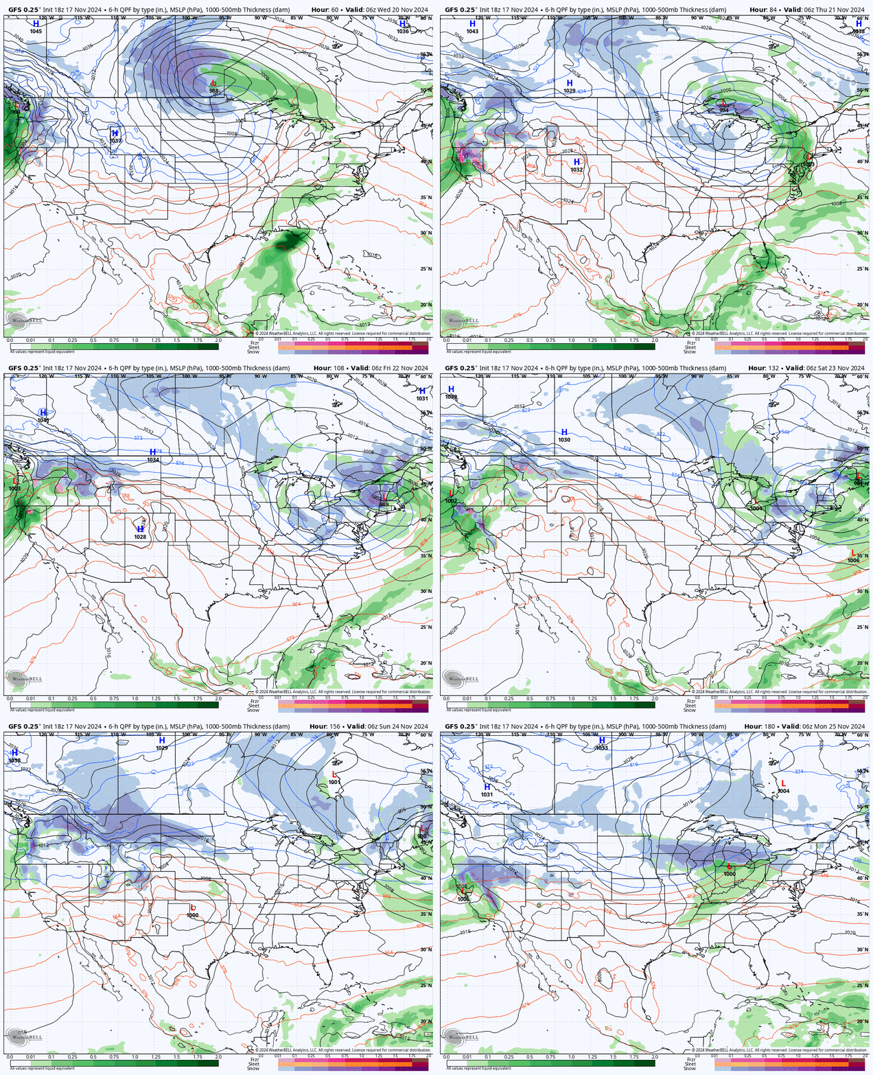
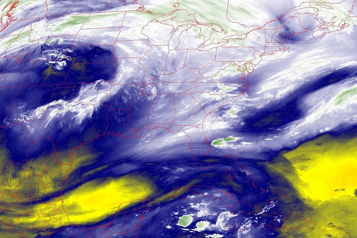
We have a large trough in Manitoba that is going to get stretched causing an upper level low to cut-off, and as this happens it will form a surface low near Delaware which will then help suck more energy and cold air towards the Northeast. We have a ridge of high pressure that will form a block between Greenland and Canada that is going to slow this storm down and help it to loop through the Northeast until it exists on Saturday or Sunday, but it may also cause the storm to swing wide and mostly out to sea.
I'll go over the Track and Intensity, and then the Snowfall Outlook, and lastly I'm going to cover How to Hunt it if it delivers whether you rely on lifts or your own low speed quads. There is some potential of wind issues on Thursday but that will not be covered here since we still have too much model disagreement for confidence. I'm going to spend more time talking about various elements of forecasting this storm rather than actually forecasting the result since that would only be a rough educated guess at this point, but the discussion can be interesting and enlightening for many.

