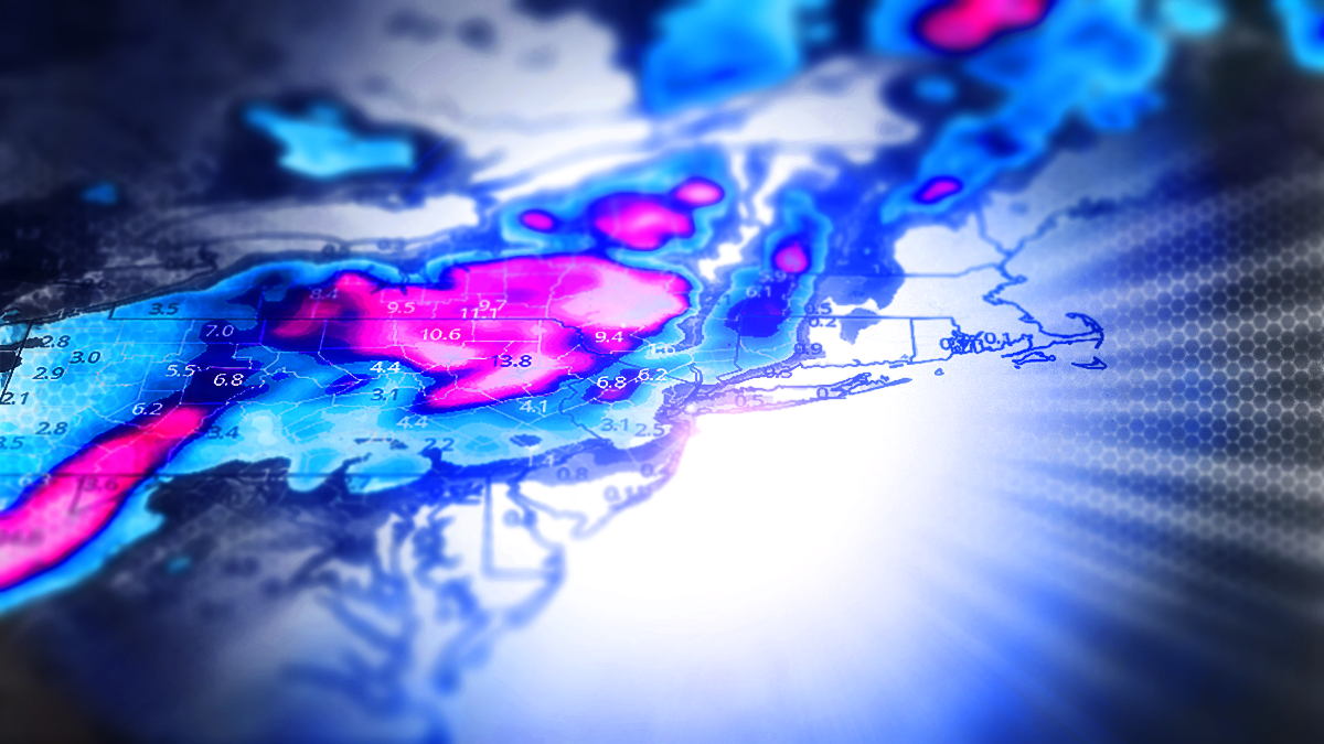
Thankfully on Monday afternoon models swung back into some form of agreement on the snowier side of things and that that gives me enough confidence to forecast the snow for this storm through Saturday morning.
The vast majority of the snow will fall on closed ski areas on top of bare ground but there is the possibility of a few places that could be huntable for pow, and otherwise this snow will help some ski areas open faster when snowmaking temps return.
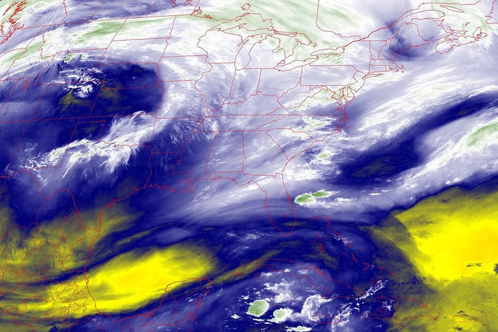
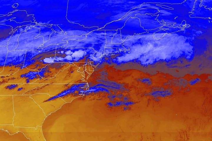
Let's look at the broad view of this storm from Wednesday through Sunday to start things off as we typically do, and we'll use the GFS again this morning.
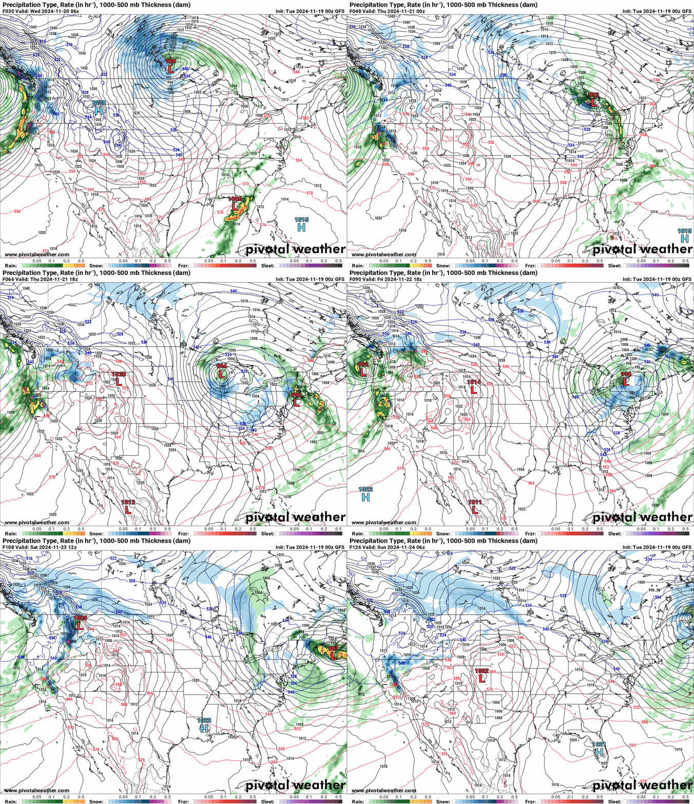
I'll start off with a quick review of Track and Intensity and then dive into the Snowfall and Wind Outlook, and then I'll revisit Where to Hunt the Pow this storm with some things to look out for.

