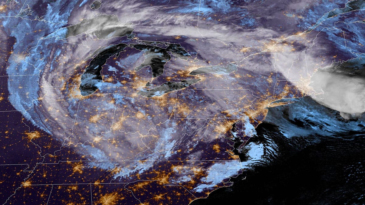
The storm has now been underway in earnest for the last 12 hours with snow primarily limited to elevations above 2,500 feet until the daytime warming started to give way around 4PM and the precipitation rates pick up as the surface low becomes more intense around NYC which aids in something known as dynamic cooling.
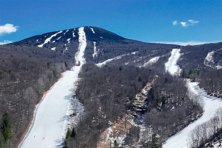
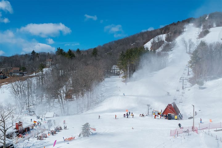
I checked various resort webcams and as of 6PM snow was accumulating down to the the base of Stratton and Gore's Bear Mount cam showed what looked like probably 3"-4" on a nearby evergreen, and rain just flipped back to snow and sticking above about 2,000' of elevation in the Catskills. The heaviest part of this storm will be impacting the Catskills, Poconos, the Allegheny Plateau of NY and PA, and the Alleghenies themselves. It should start cranking soon starting in the Catskills and impacting these regions during much of Friday.
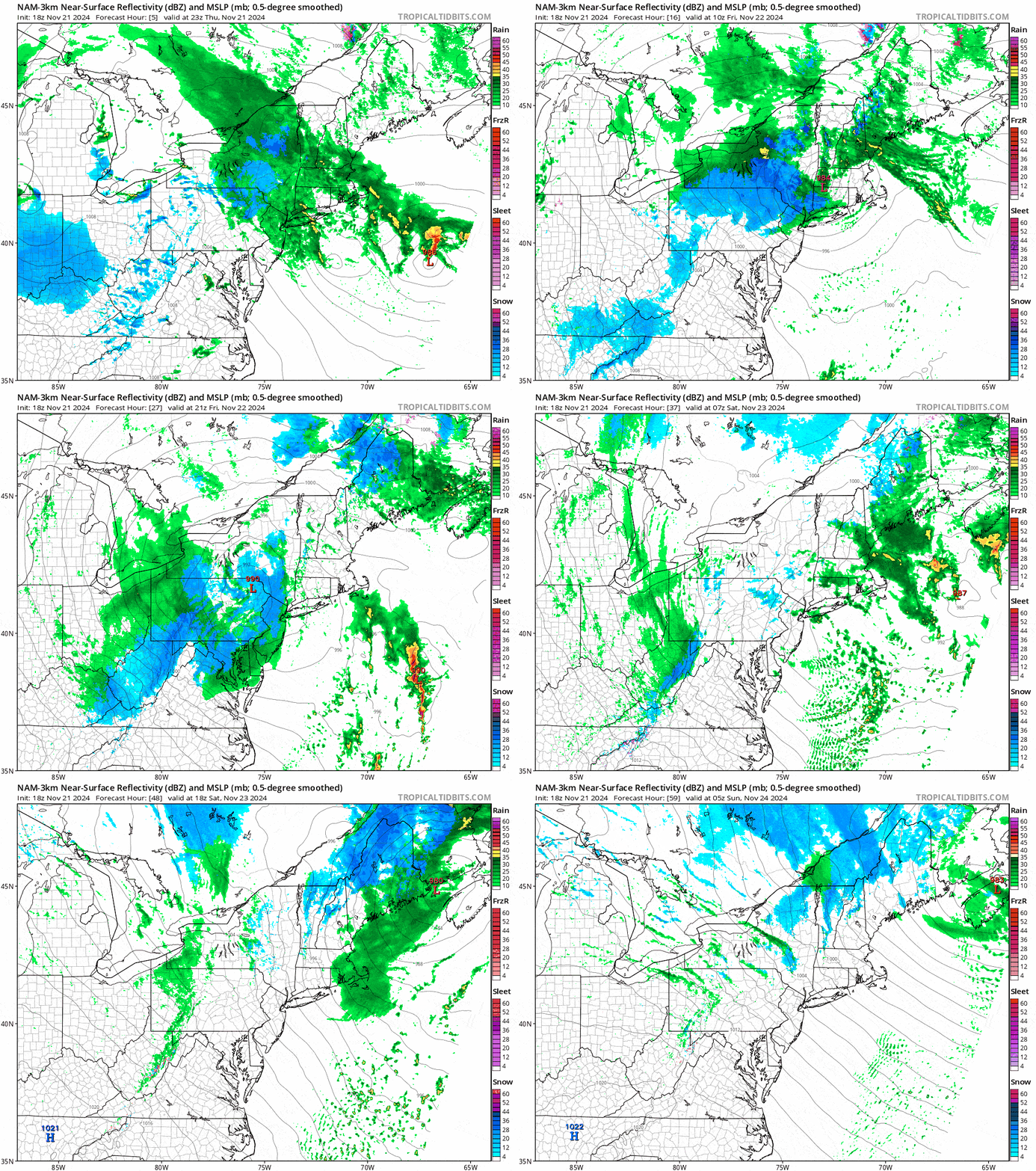
I'm switching over to the NAM3K model's simulated radar this time showing this system from 6PM Thursday through the end of Saturday which is everything it will have to offer except for some Sunday AM snow tapering off on the backside as the storm pulls away.
I'm going to start off with an updated snowfall forecast and then I'm going to do something a little different this time since I don't believe this is going to open any terrain ski areas now so the focus will be on just the handful of ski areas operating on Friday, Saturday, and Sunday and I will break down the impactful weather by day. There are some notable risks of wind holds on Friday (transitional), Saturday, and Sunday unfortunately, and given that losing any lift will shut down all skiing where they happen you should definitely take note and also dress appropriately for a widely windy weekend.
Here's the list across the entire East with the ski area names linked to their snow reports:
Belleayre: Saturday and Sunday (2 runs top to bottom)
Gore: Saturday and Sunday (1 run mid-mountain)
Whiteface: Friday, Saturday, Sunday (1 run upper mountain)
Killington: Every Day (3 runs upper mountain)
Jay Peak: Saturday (1 run top to bottom, restricted access)
Bretton Woods: Saturday and Sunday (1 run top to bottom)
Sunday River: Every Day (2 upper mountain and 1 run to the bottom)
Sugarloaf: Opens Saturday (1 run top to bottom)
Saint-Sauveur: Reopening Saturday afternoon (1 run top to bottom)
Yeah, it's not much to brag about but if you saw our Thanksgiving Weekend Outlook this morning, we're going to see a pattern change finally beginning next week!
This will be the last Storm Update for this system with the exception of a wind hold update going out to subscribers on Friday afternoon.

