This is our first "Minor Storm Update" of the season. These are issued for storms with smaller or more isolated impacts, and generally less detail is provided.
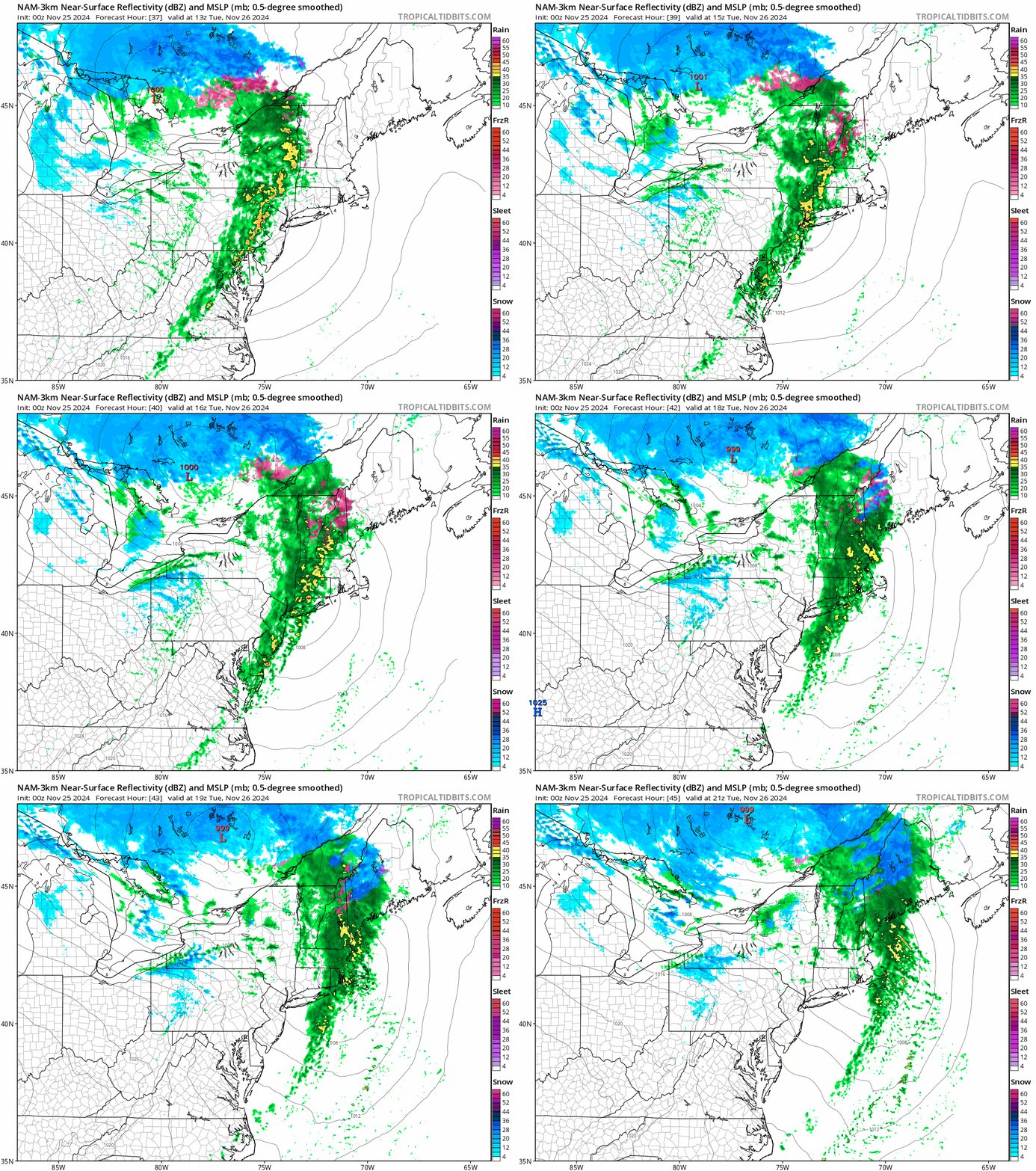
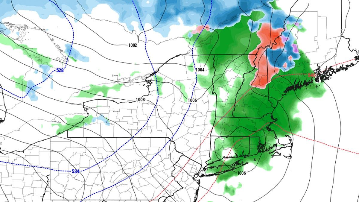
We have a system that is moving through Ontario and into Quebec on Tuesday that puts us on the warm side of the system with a low level jet (the rain shield) trailed by a cold front that is passing through the Northeast during the Tuesday ski day. Here's the simulated radar showing the precipitation types between 8AM and 4PM on Tuesday.

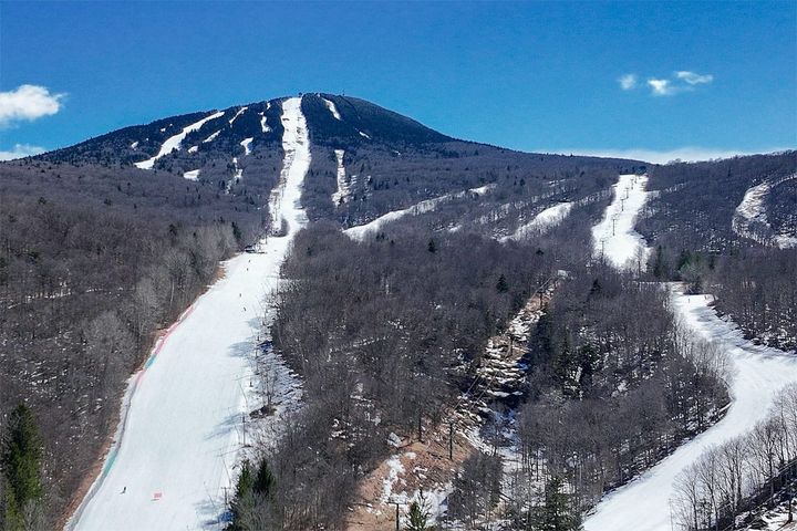
Keep in mind, there are only 4 ski areas operating in the Northeast at least through Thanksgiving, and they are Killington, Bretton Woods, Sunday River, and Sugarloaf and that's what the coverage will focus on. There are no wind concerns with this system during Tuesday as well as Wednesday behind the storm. This will give snowmakers a break before they're back at it again Tuesday night trying to do whatever they can to open terrain by the weekend.


