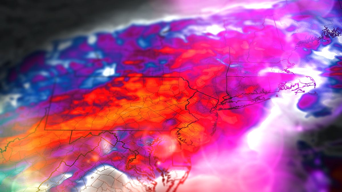
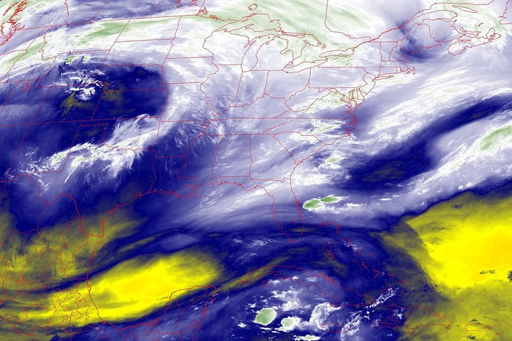
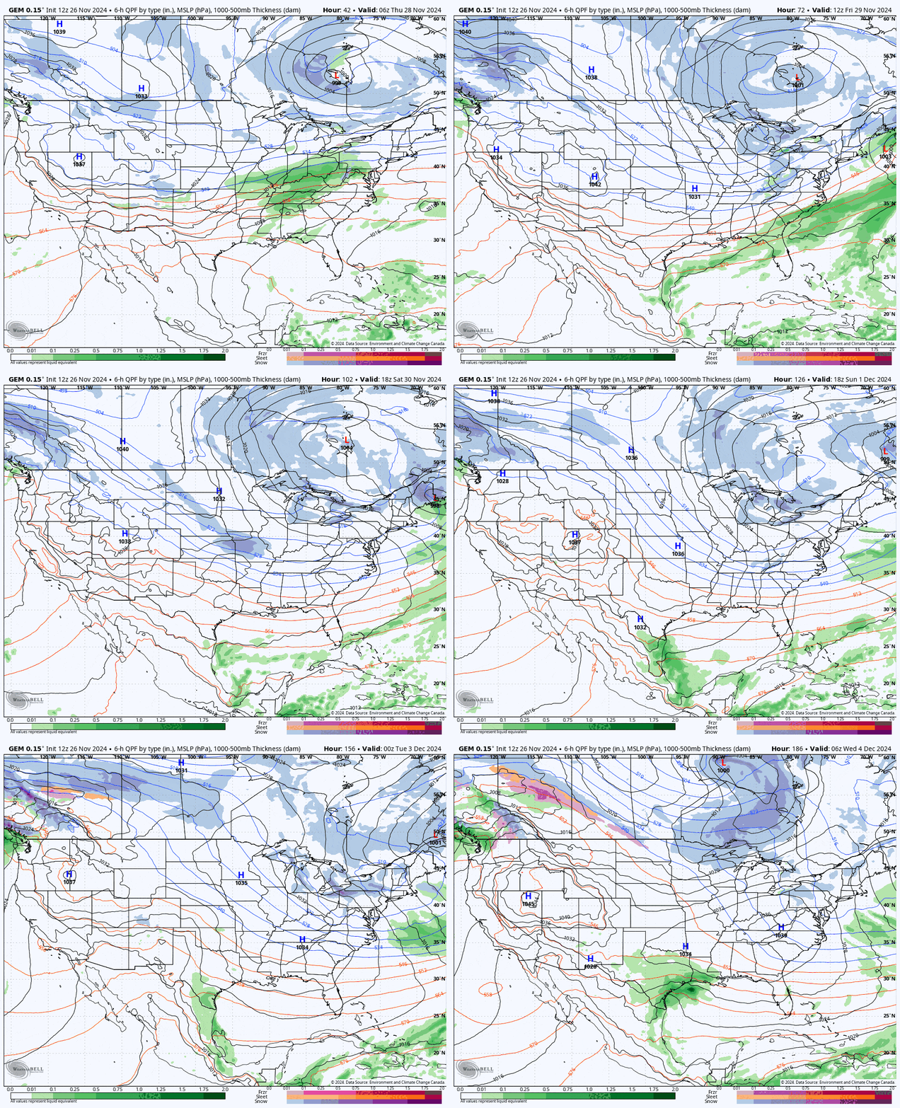
There's a storm coming and maybe the weather model disagreement starting to depart with what I think is a positive to the forecast if you are a snow lover. This system starts Thursday morning and traverses the Northeast by early Friday morning followed by what looks to be up to 5 days of back end snow mainly off the lakes that will probably also have some impacts as far away as Vermont. Let's look at the whole event from Thursday through Tuesday from the GEM (Canadian Model) which currently is on the conservative side of modeling for the coastal storm.
We're now in the "deterministic" phase of forecasting where I begin putting numbers to paper, and I will start off with the Snowfall Forecast and will include a discussion about track and intensity because there is still wide variability that needs to be understood. I will then cover Travel Conditions on Thanksgiving. I'm going to skip covering the back end event this time but it looks to be a very impressive and should last from Friday evening through Wednesday morning before a clipper is likely to break things up. The back end event was covered in Storm Update #1 and there isn't a lot to add right now but in the next update I'm going to give you some tips for what to expect as there could be opportunity for ropes to be dropped at some point next week. As of this moment I'm not concerned with wind issues for the weekend, but there is a small chance on Friday that I'm going to keep checking on.

