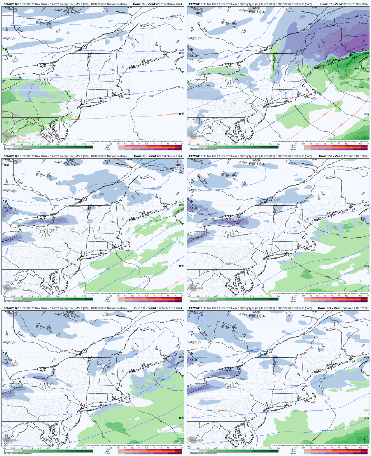
We've got ourselves a real Thanksgiving storm that should drop 10"-16" across higher elevations from New York to Maine and then what is likely to be a 5 day back end lake effect event with some upsloping through Wednesday morning. Let's take a look at a 6 day loop from the ECMWF covering Turkey Day through Tuesday.

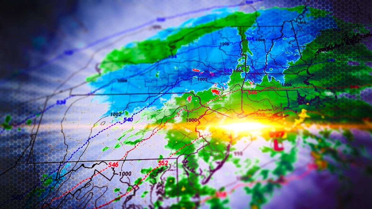
This is as dialed in now as we can expect. The coastal part of the storm will start right around midnight Thursday morning with snow near Lake Erie and the wrap around from that low will end in the northern areas in the early morning on Friday. This is a moderate intensity storm that should reach around a 990mb central pressure by the time it reaches the Gulf of Maine, but there is plenty of moisture with it and the low will wrap up nicely providing a focused band of heavy snow. Temperatures are going to be marginal and will be above freezing generally below the 2,000' level in the bonus zones, so expect heavy wet snow at low elevations and moderate density snow in the mountains with lighter densities further north. Snow will dry out overnight into Friday morning with colder temps.
We're in the deterministic phase where speculation is low and things like amounts and timing are what I focus on. I'll start off with an updated Snowfall Forecast, and we've mainly bumped and I'll include some limited wind hold warnings for Friday morning, then I'll go over the critical Travel Forecast with timing and impacts of the heavy snow on Thanksgiving, and lastly I'll provide an update on the Back End Forecast which lasts from Friday through Tuesday and I have a snowfall forecast for ski areas covering just that.


