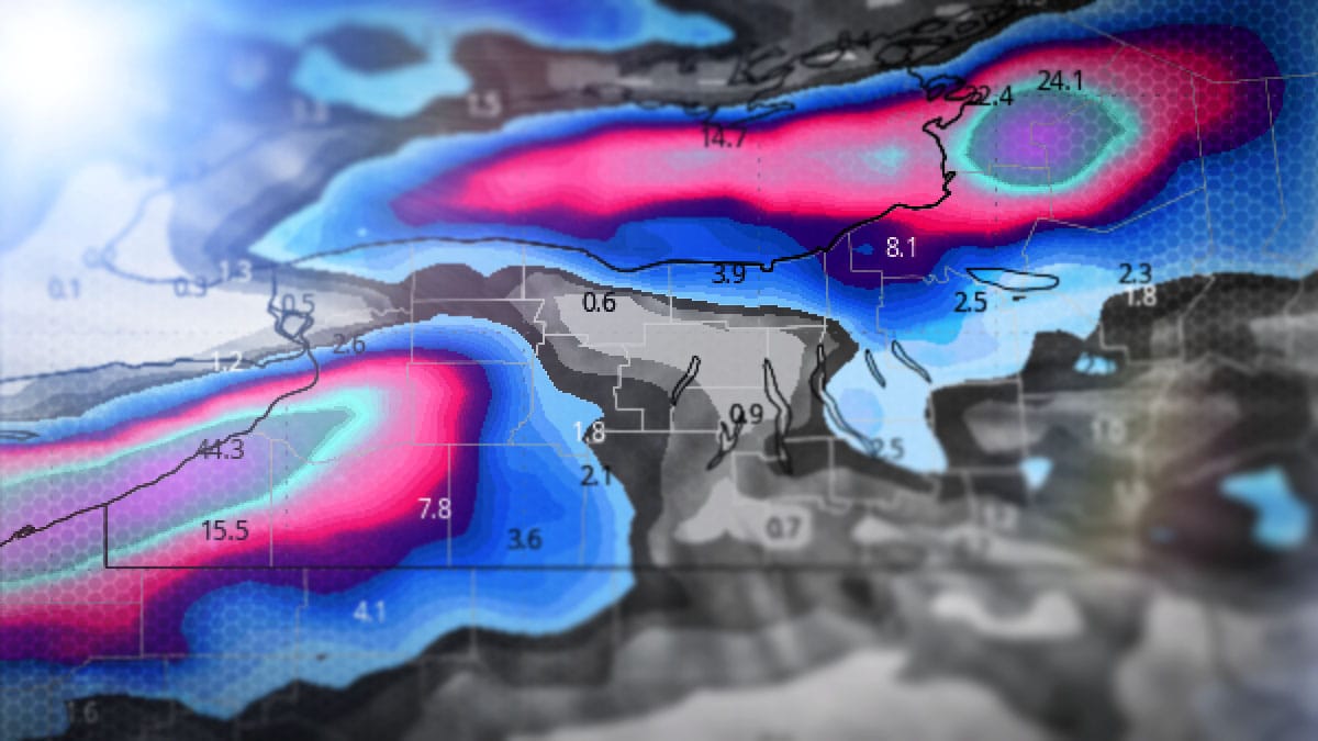
We have an update to our forecast for the back end event that will last through Tuesday with some ski areas in the Great Lakes region expected to receive over 2 feet of snow. There has been a bit of a wind shift from previous modeling that will cause some adjustments, some up, some down. Let's start off with a simulated radar loop covering 7PM on Friday through 7AM on Monday which covers the most prolific part of the back end event.
I'll cover just the Snowfall Forecast for subscribers this time as the higher amounts of snow will not be at operating ski areas, however I will talk about snow on the ADKs and Greens away from the main bands.


