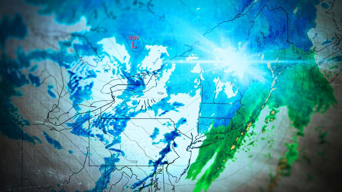
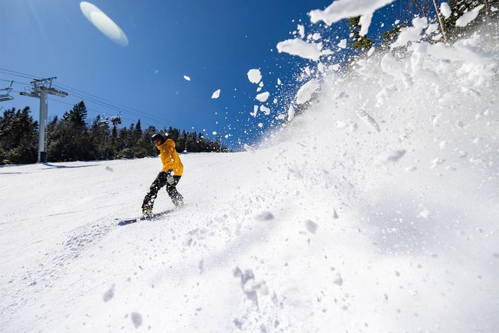
It's time to call in sick! This is the type of storm you really want to hunt if you love powder. We're talking over a foot of blower pow to be seen across at least 8 different ski areas and possibly over a dozen, and probably some break 2 feet. "Blower pow" is generally snow that is fluffy enough that it stacks up 15 times or more the height of the water if it was melted, and all of that extra space is air, making it form clouds of cold smoke as you rip through the surface. In many cases this is falling on top of heaps of snow since last Thursday with ropes already dropping and even more will after this comes! This will be the best day of the year for some people come Thursday or Friday if you hunt it right because the snow will be so deep and the people so sparse because the weather coverage in the big coastal cities will barely pay attention to it! This is just a clipper, but it has plenty of moisture as well as warm lakes to feed off of. Cycles like this don't happen often, but when they do you should make it count!
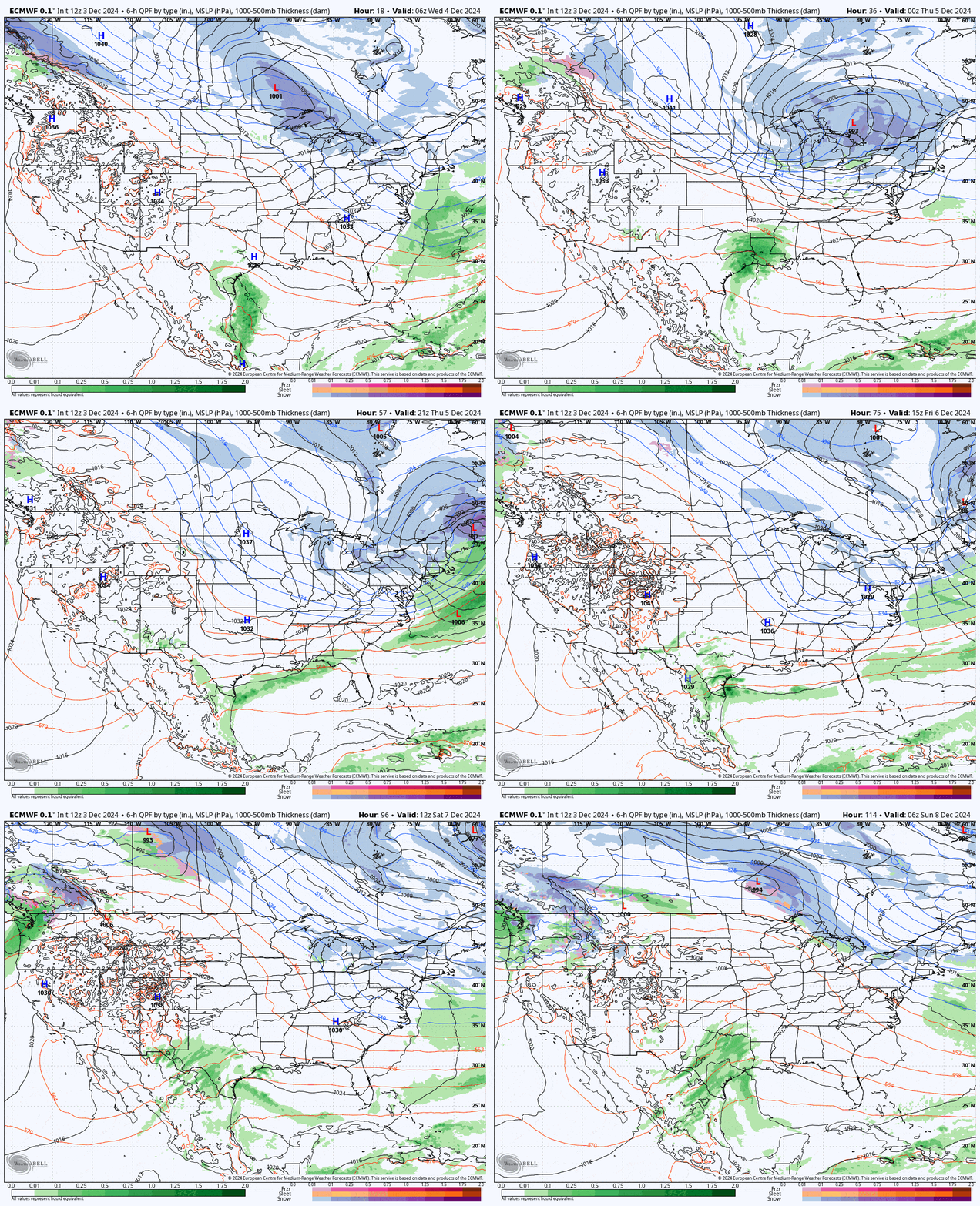
I am sounding the alarm to go out and get this, and I'll let our subscribers know where to go to score some dropped ropes for deep turns while avoiding the wind! This is also a great setup to the weekend that should provide some packed powder and natural terrain as an alternative to harder freshly made snow. Let's start off with the wide view to see what this system looks like from Wednesday through Saturday.

Until Saturday we still only have a limited number of options before the explode for the weekend after a week of both copious amounts of snow and perfectly cold weather. I'm going to start off with the Snowfall Forecast covering 3 day starting Wednesday morning. I will then cover the Wind Hold Forecast for both Thursday and Friday. Lastly I'll talk about How to Hunt giving tips to everyone for what to seek and also what to avoid. By Monday the party will be over with some rain and a little warm up, so get it while it's not hot!


