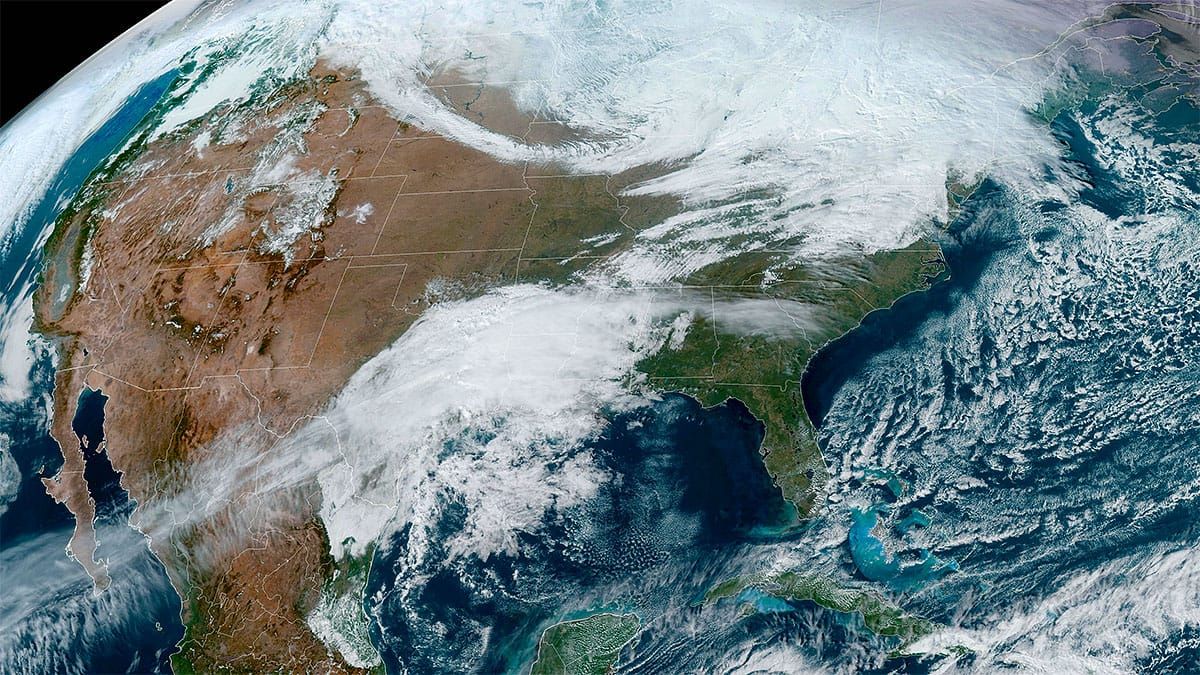
We've got a bunch of snow incoming, likely between 1 and 2 feet in parts of NY, VT, NH, and ME, but if you haven't noticed this storm is not very well covered because it is a clipper tracking through Canada and not a coastal storm. It's also happening before peak season begins and the powder hunters out there now are just the hardcore. This means opportunity because pow doesn't last long when it is busy. Unfortunately there is also wind both Thursday and Friday that will cause some wind holds and also you need to navigate what terrain may be open based on both operations and snowpack. We'll, that's what we do at Snowology of course.
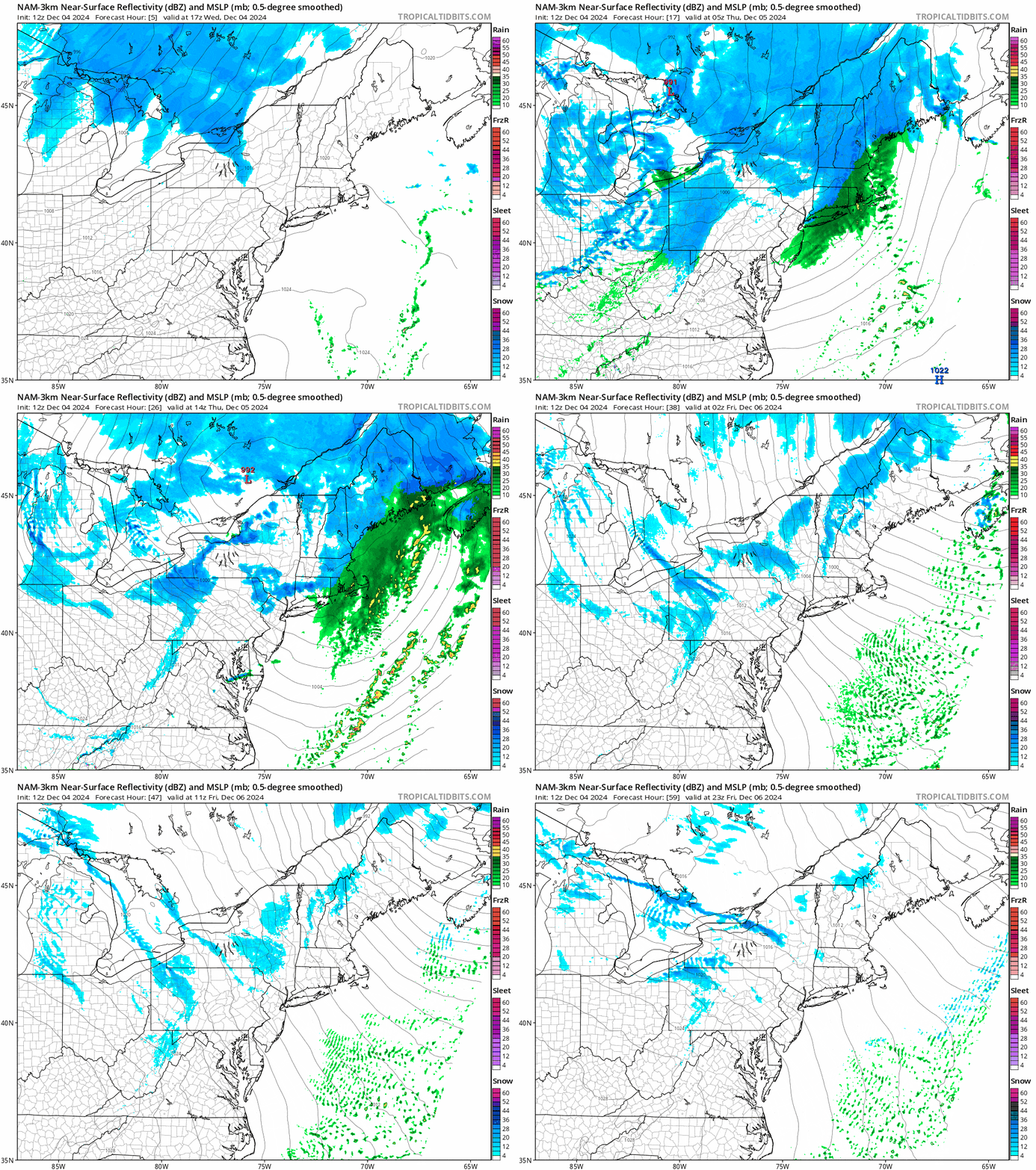
Let's jump into the simulated radar showing every 3 hours from Noon Wednesday through 8PM Friday which covers pretty much the entire storm with the exception of some lake effect snow that will be ongoing.

I'll cover the Snowfall Forecast first, and then the updated Wind Hold Forecast for both Thursday and Friday. Lastly I did reach out to a bunch of ski areas to inquire about lift operations and rope drop potential and I'll update my picks for Where to Hunt.
If you are curious about the forecast and are not a subscriber, just sign up for that 10 day free trial. Almost everyone ends up becoming a paid subscriber who trials, and almost everyone who subscribes also renews. There's nothing like Snowology out there, and it's a bargain at just $29.99 for a full year!


