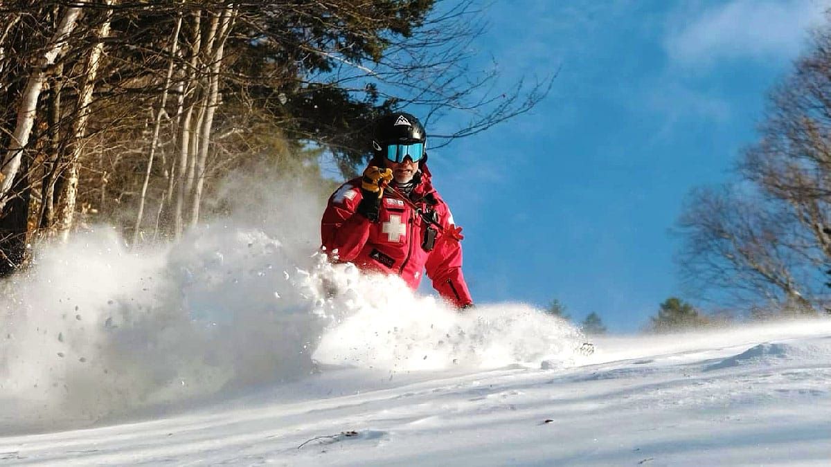
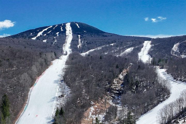
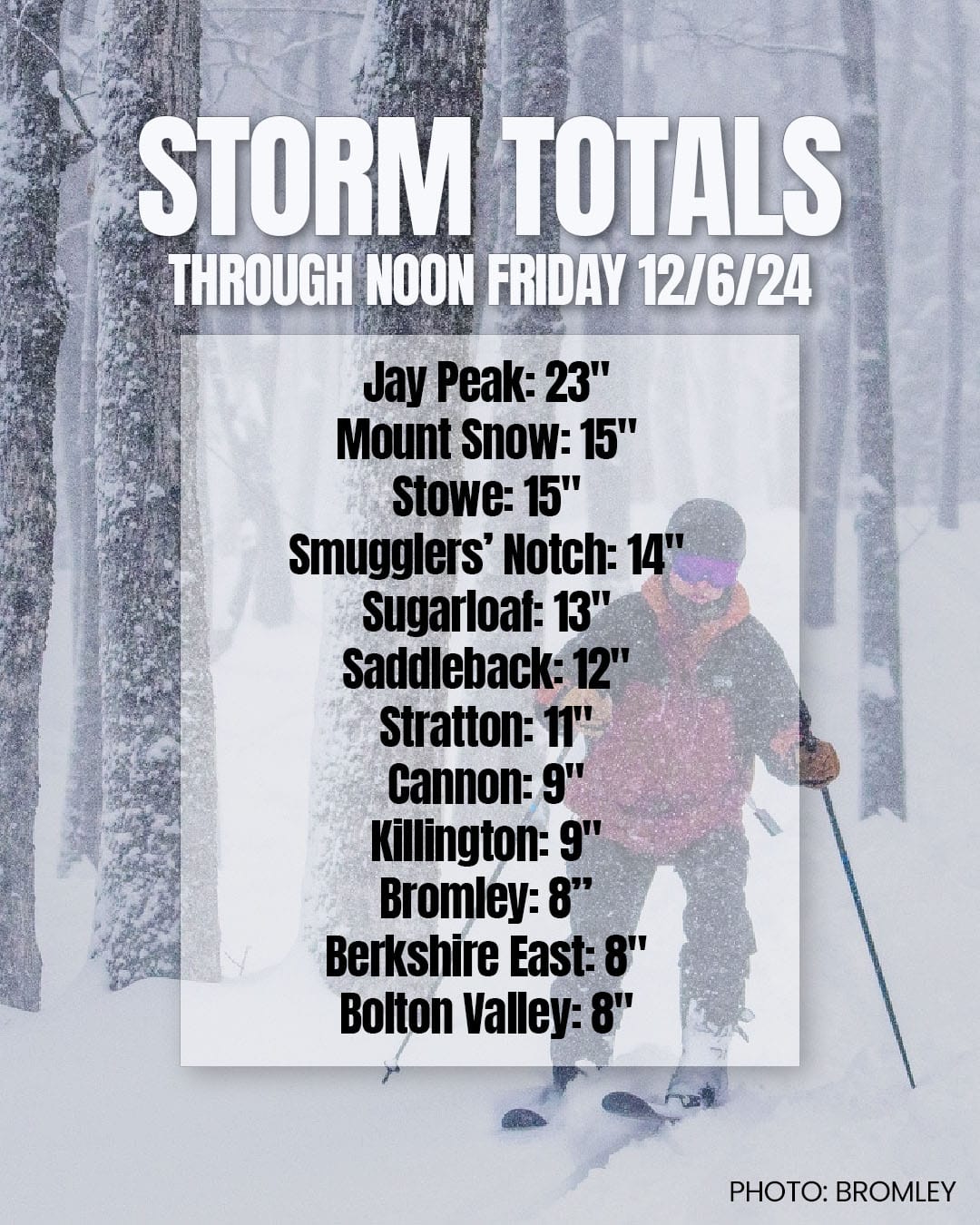
What a frickin difference a week can make! Cold weather and two snowstorms have absolutely launched the Northeast into a full blown ski season with mid-winter conditions and packed powder where the snow is deep and widely more than the average terrain for the first week of December! Here are some highlights from what has fallen in the last two days through Noon today.
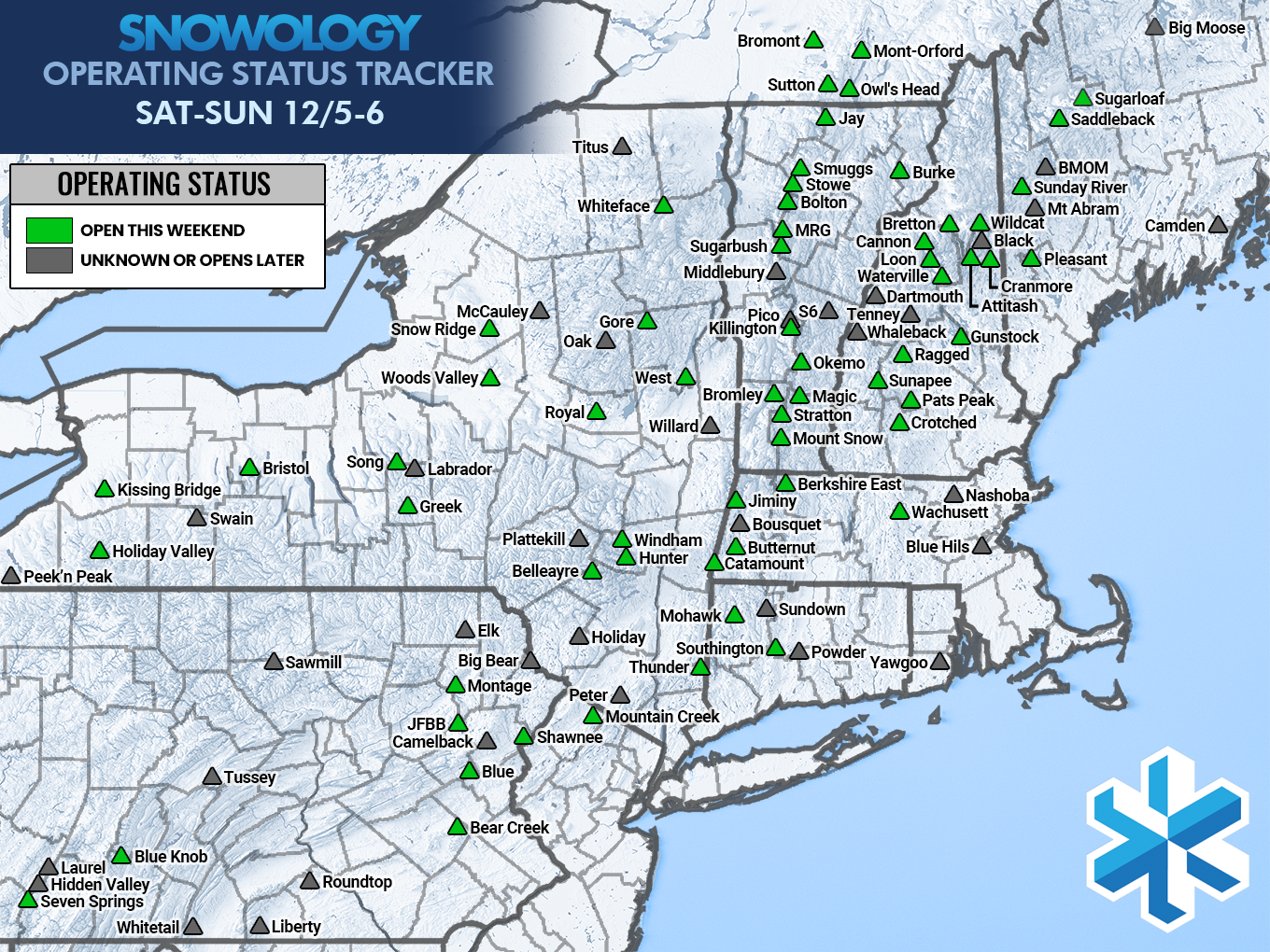
With the addition of the cold we have gone from about 14 ski areas open last weekend to no less than 59, and at least a couple of the smaller indies not on the map like Ski Ward and Spring Mountain are also open. Here's our Operating Status Tracker for this weekend:
We have the third batch of back end snow just picking up right now that will bring even more snow off the lakes and into the ADKs and Greens with some smaller accumulations in the Whites. After that there will be yet another clipper that brings widespread light snow with upslope and lake enhancement to NY and New England Saturday night into Sunday morning. Here's what the simulated radar looks like from 4PM Friday through 4PM on Sunday.
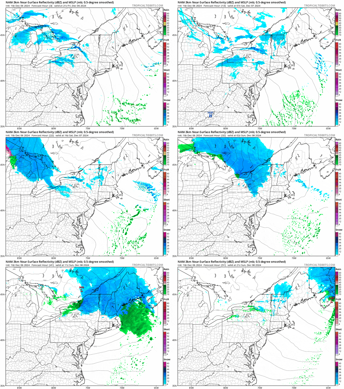
Get it while it's great because we have a transitional storm on Monday and Tuesday that will go from snow to rain, and then another storm on Wednesday and Thursday that will go from rain into snow and then cold again.
I'm going to go over the latest Snowfall & Temperature Forecast through 4PM on Sunday and then also our Top Picks & Tips with some great opportunities to score and also to avoid disappointment! Keep your eyes out for a subscriber-only notice this evening as I soft launch discounts for Stratton, Magic Mountain, and Royal Mountain, and you can use them this weekend!

